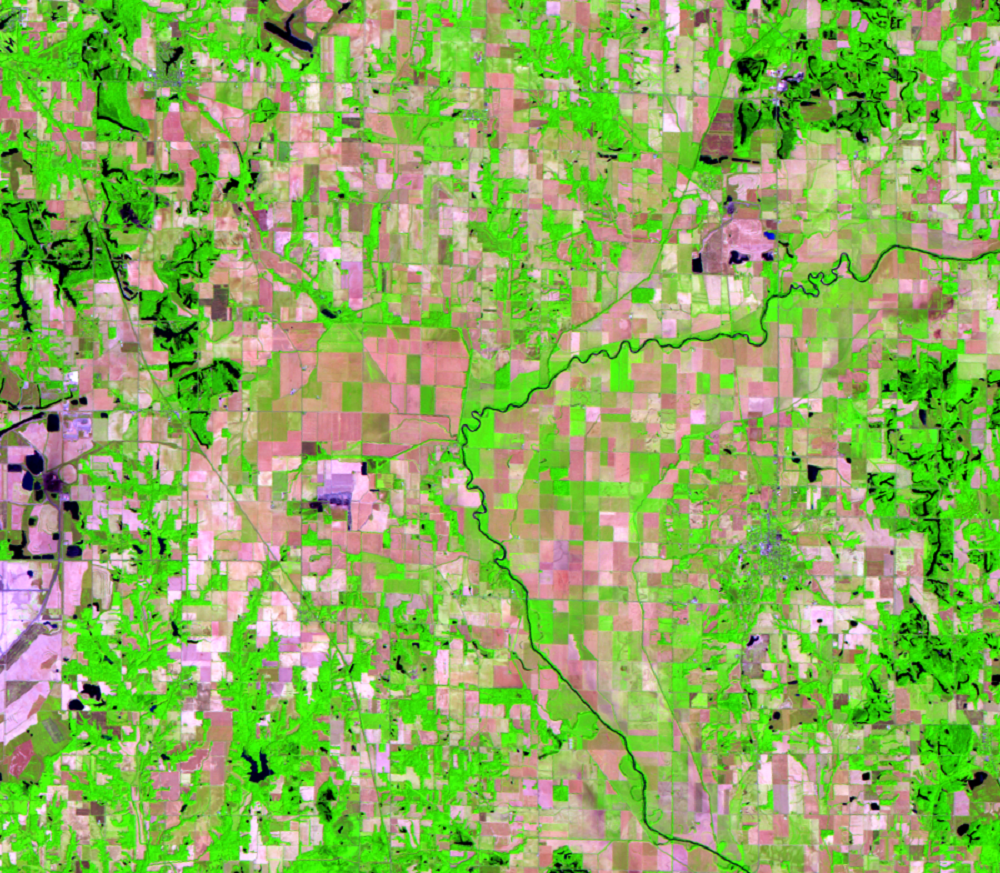
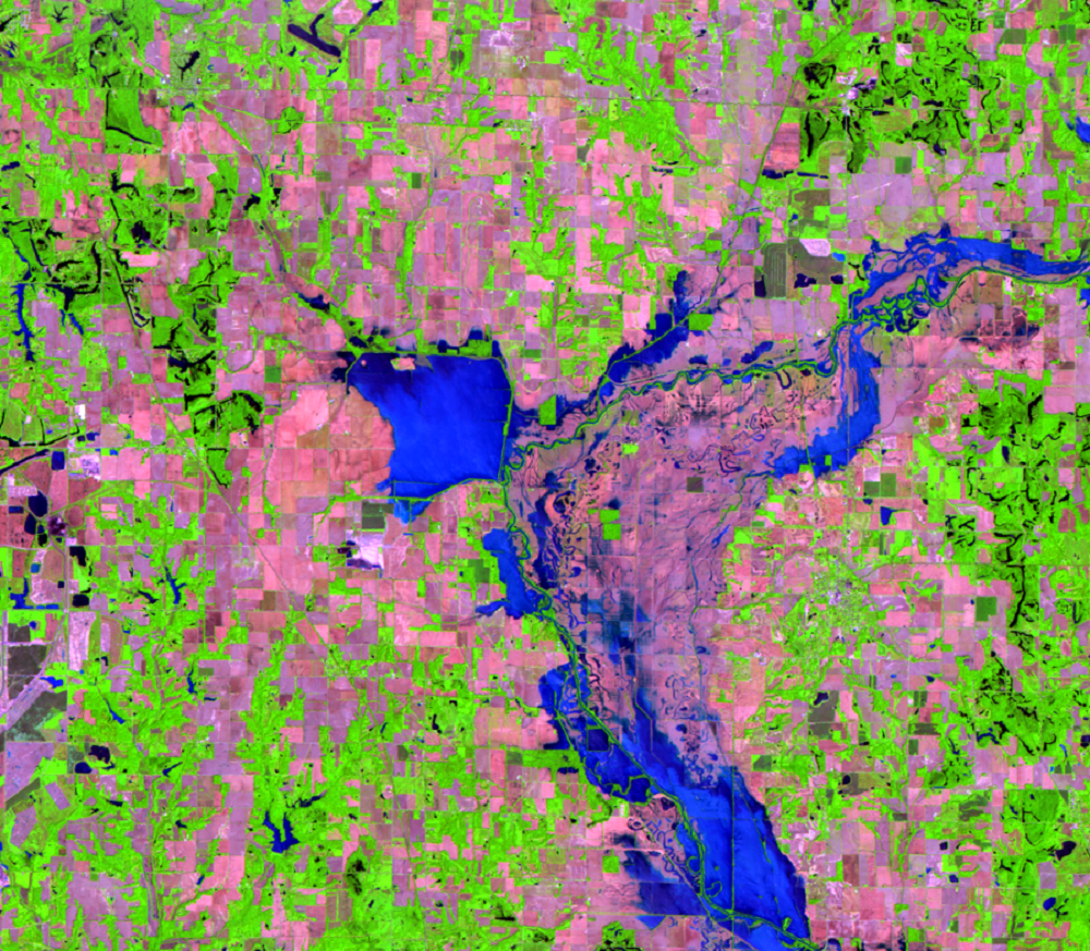
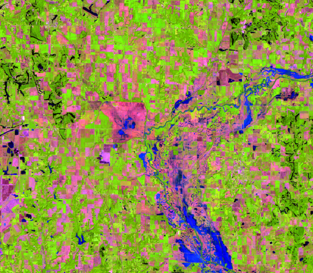
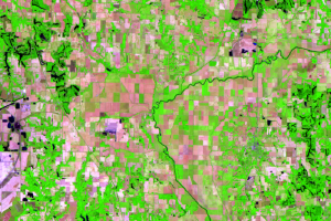
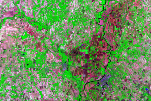
Just west of Clay City, there is a large, nearly square-shaped area of floodwater in the 2008 flood image. It covers about 2,200 acres. The fact that this area became inundated indicates that it is low lying land. It’s possible that during the flood, water flowed from the nearby Eel River through a breach. The 2007 image shows this area as cropland, which is commonly low and flat. Roads, built up above ground level, could be causing the straight lines that appear around the water in the flood image.
Interestingly, this spot was once an artificial reservoir, called the Splunge Creek Reservoir, that formed in the 1800s to supply water to the Wabash-Erie Canal, which no longer exists.


