

Environmental Problems
Earth Resources Observation and Science (EROS) Center - Earthshots
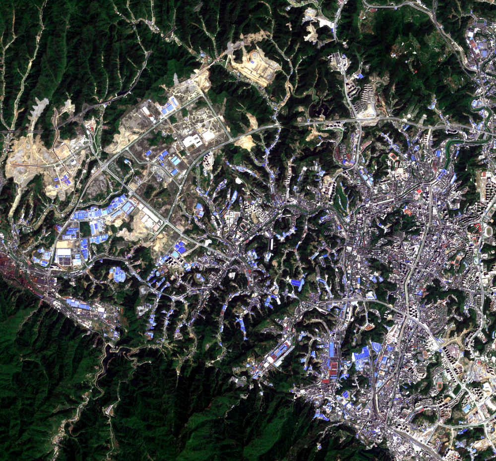
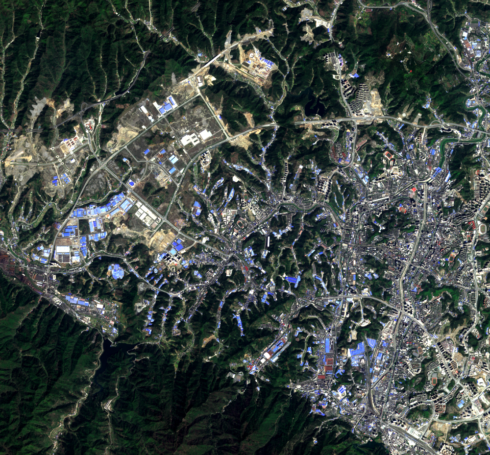
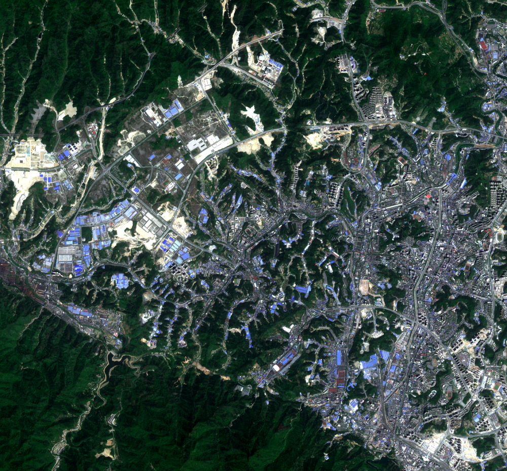
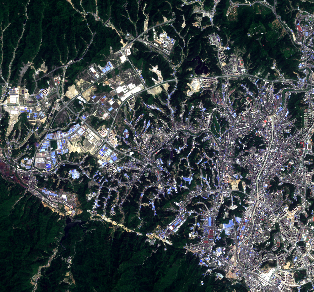
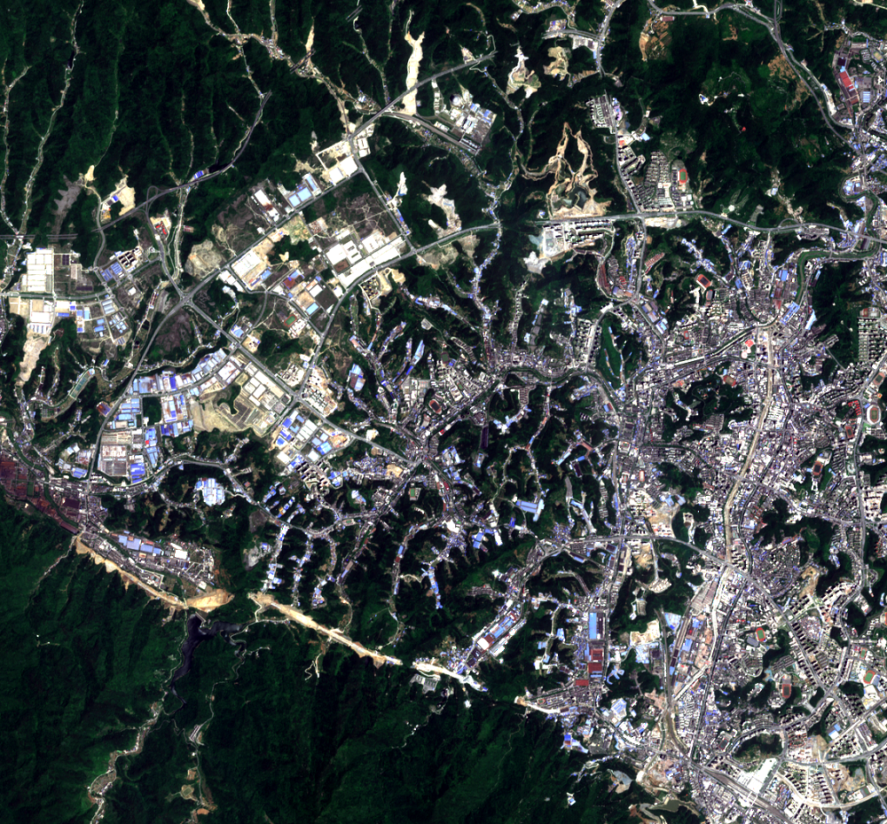
Images from Europe's Copernicus Sentinel-2 satellites show a bit more detail than Landsat. These close-up views of Shiyan show the industrial development and land clearing at 10-meter resolution. Blue-topped rooftops are buildings for industry; light tan spots are leveled land.
The hills that are being flattened vary in height from 100 to 150 meters. The material used to level the hills is used to fill valleys. However, building on this infill might not be best for urban construction. The soft soil from the infill subsides easily and is prone to landslides.
Other environmental problems are cropping up based on this land leveling. The process of moving this much material throws dust particles into the air. Changing hills to plains has caused soil erosion, which adds sediment to local water sources. Shiyan is near the headwaters of the South-North Water Transfer Project, a huge project that diverts water to northern China. The sediments can end up in waterways, polluting the water. Furthermore, it can take years for the flattened ground base to be stable enough for building.
Imagery
Every picture has a story to tell

Correlated
Additional story information
Downloads
Other Stories
Related imagery and additional content
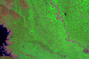
Canal
On the east end of the largest portion of the Danjiangkou Reservoir, a...
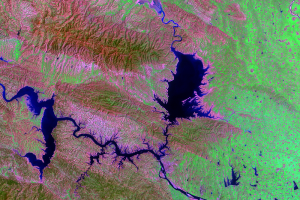
Danjiangkou Reservoir
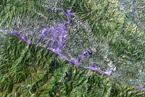
Visible in these images is one canal associated with the $62 billion S...
Environmental Problems
Images from Europe's Copernicus Sentinel-2 satellites show a bit ...
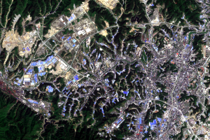
Land Leveling
Shiyan, China, was a small village in the mountains until the 1960s. T...