

Granja Porcón
Earth Resources Observation and Science (EROS) Center - Earthshots
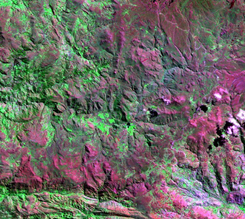
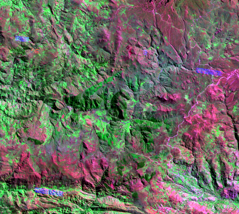
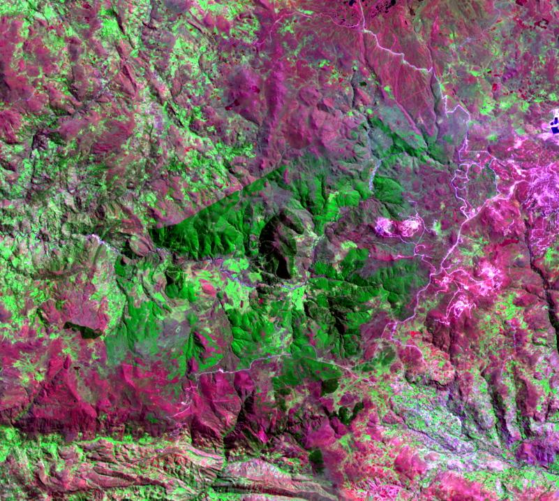
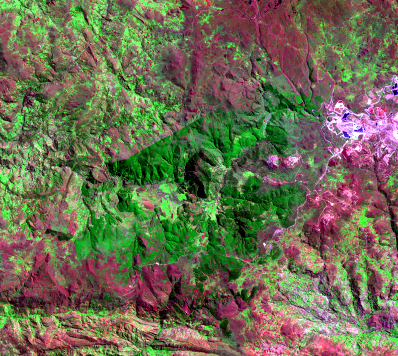
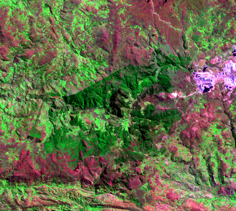
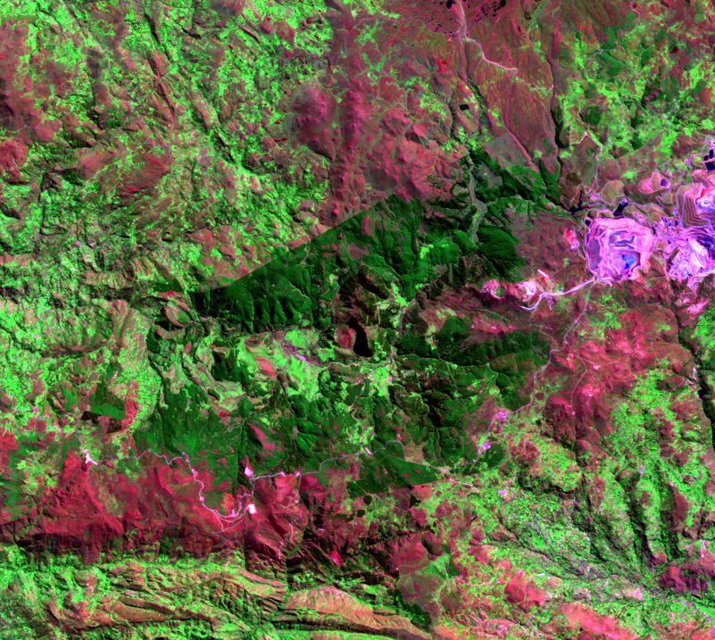
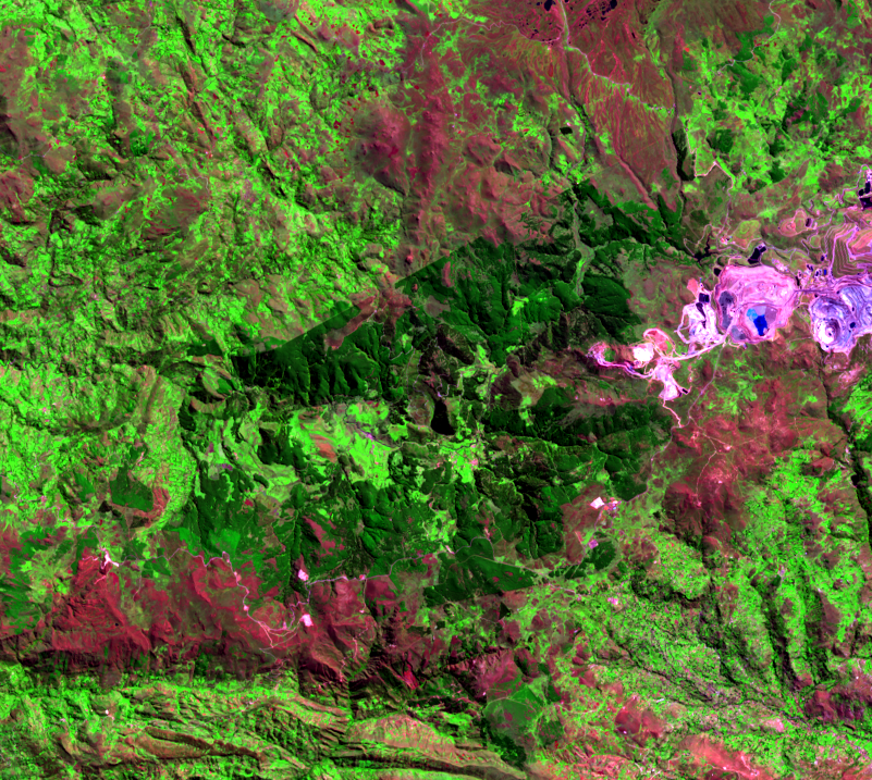
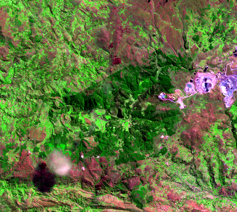
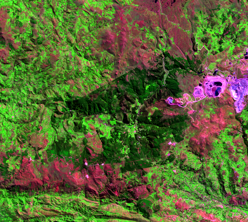
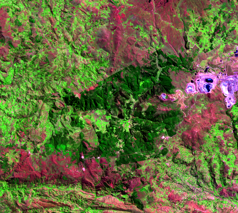
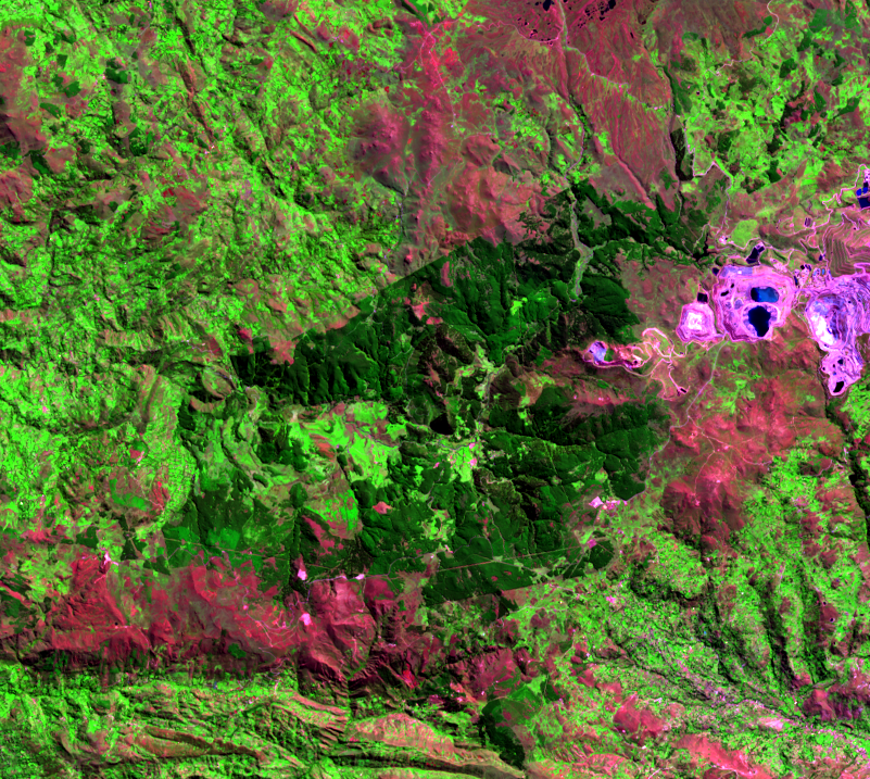
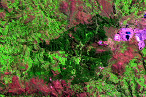
Just west of the mining area, a dark green patch of land emerges in the time series of images. This is a cooperative farm called Granja Porcón. The 12,000 hectares of land in the cooperative were originally grassy plains.
The dark green area on the images indicates the effects of an afforestation project. Granja Porcón includes a nursery that produces over a million seedlings per year, and the forest plantations provide wood as a source of income for the local population. Pine species are planted in this location because of their resistance to cold at high elevation.
Tourists can visit and work alongside the residents of the cooperative in day-to-day tasks, such as milking cows or working in the fields.
Imagery
Downloads
Related Content
Yanacocha Mine, Peru
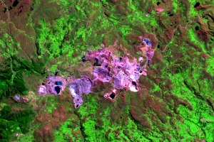
The expanding Yanacocha Mine dominates the land change seen in this se...
Granja Porcón
Just west of the mining area, a dark green patch of land emerges in th...
The Mining Process
Gold is found in the Yanacocha Mine in microscopic bits. One hundred t...