

Harbours
Earth Resources Observation and Science (EROS) Center - Earthshots
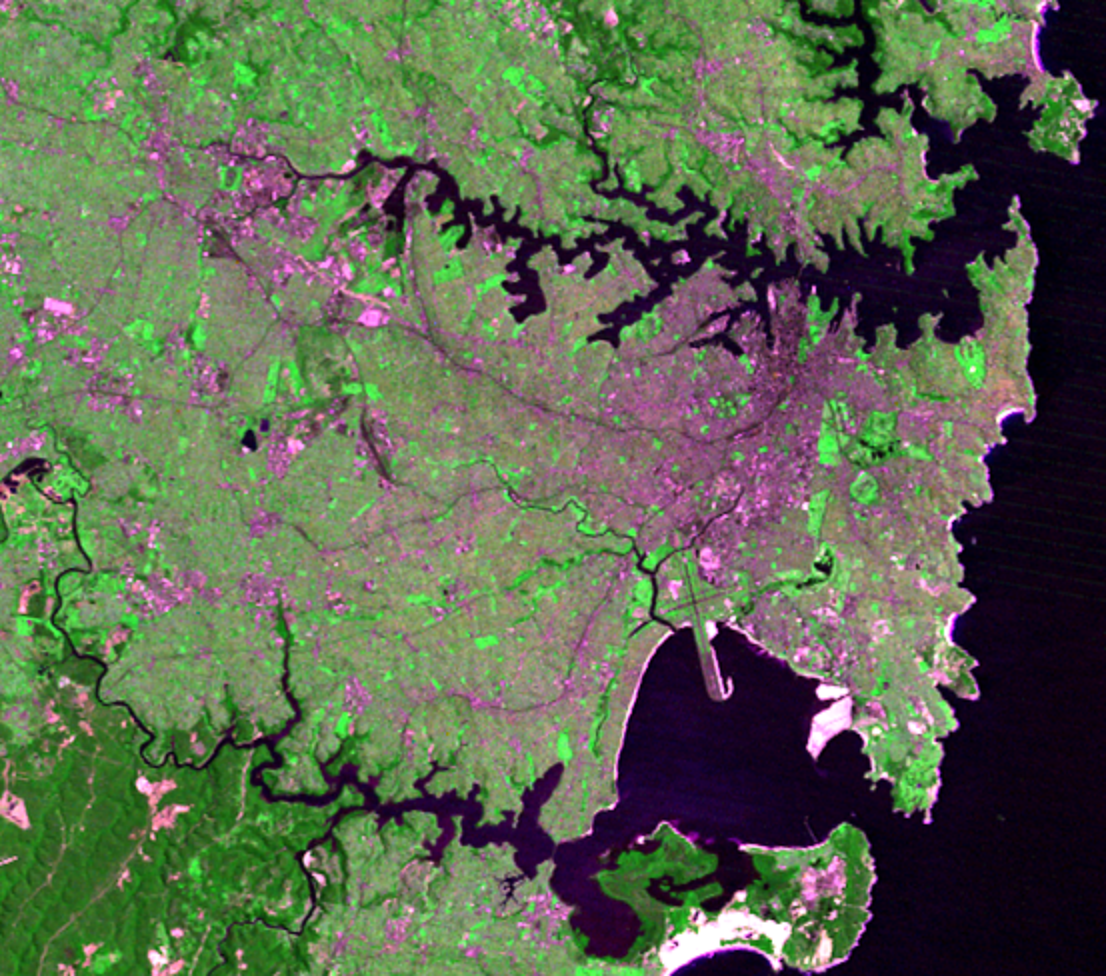
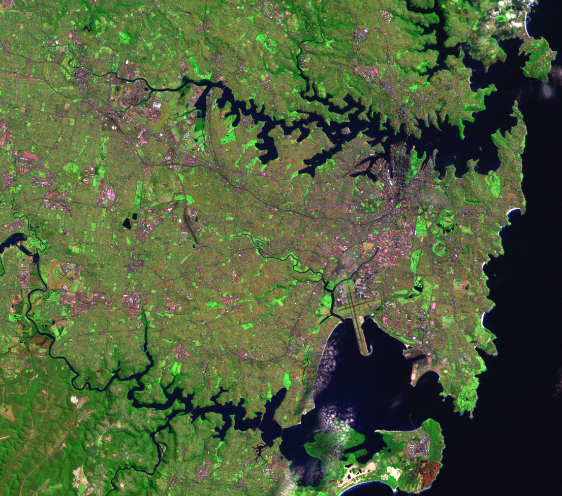
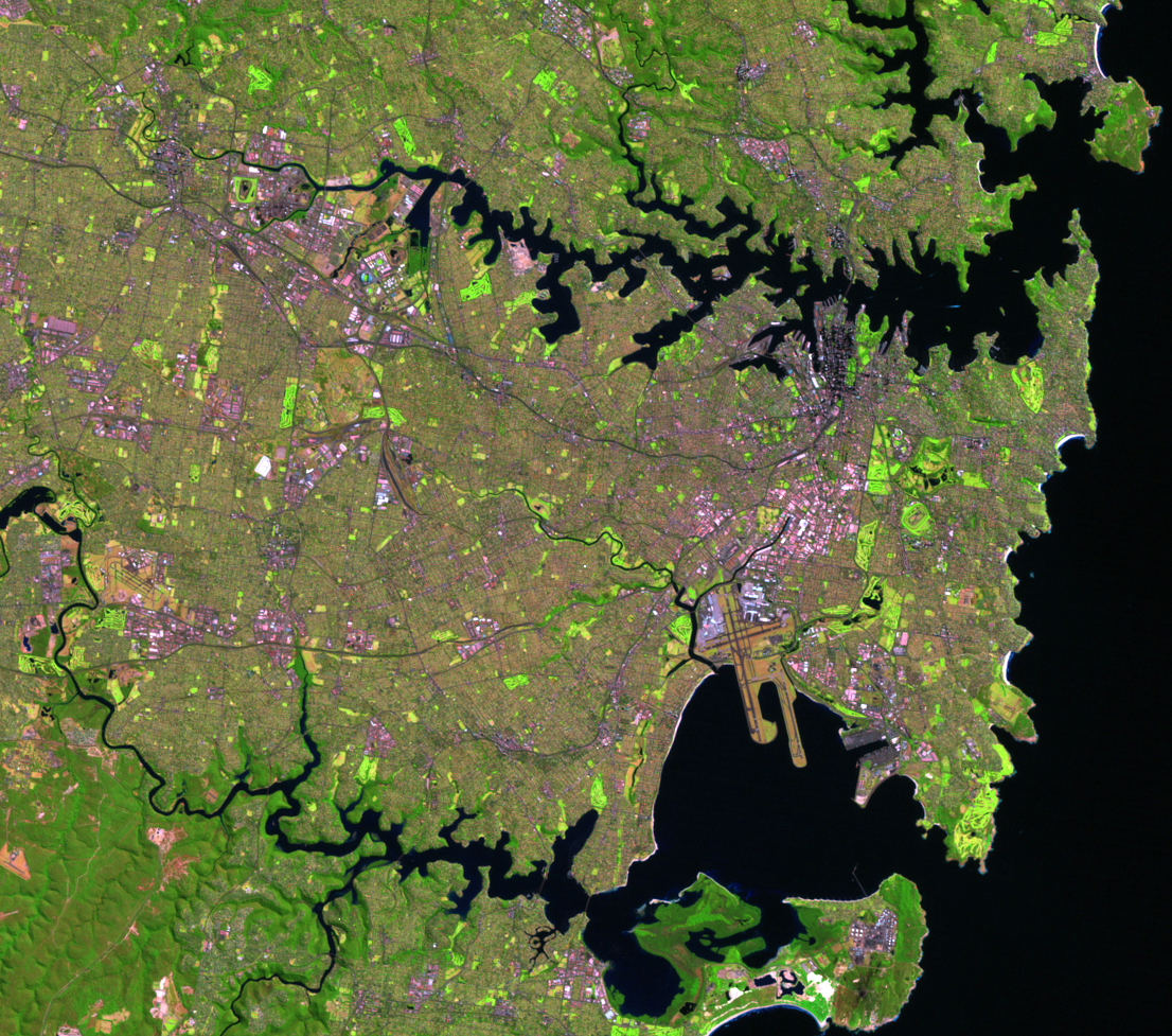
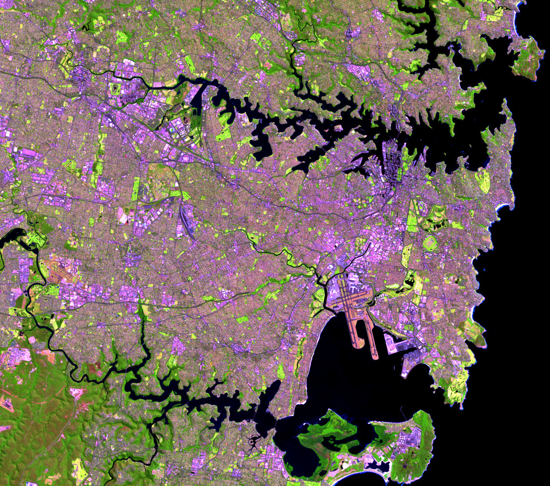
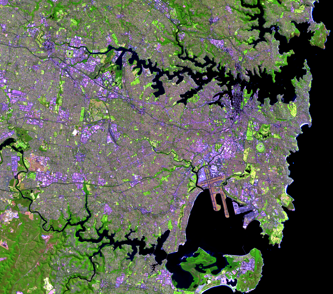
Sydney Harbour defines the city and makes it recognizable worldwide. Parks, reserves, and gardens line the 240 kilometers of shoreline of this beautiful natural harbour. Any green that you see in the images along the harbour are parks or reserves—along with a few golf courses.
The Sydney Harbour Bridge crosses the harbour. This well-known Australia landmark opened in 1932. The height of the top of the arch is 134 meters above sea level. The 1-kilometer-long bridge is visible in the Landsat images, but you have to look closely.
Located near the bridge is one of the world’s most recognizable buildings and part of Sydney Harbour’s landscape. The Sydney Opera House was completed in 1973. It is seen as a few bright pixels in the images, on the end of the point nearest the bridge.
The 2000 Summer Olympic Games took place in Sydney. Can you spot the location of Sydney’s Olympic Park?
Imagery
Every picture has a story to tell
Correlated
Additional story information
Downloads
Other Stories
Related imagery and additional content
Botany Bay
The other major natural harbour on the south end of these images is Bo...
Harbours
Sydney Harbour defines the city and makes it recognizable worldwide. P...
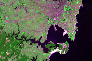
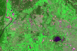
Penrith Lakes
A feature west of Sydney changes shape and color throughout these four...
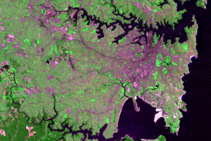
Western Side
Urban growth in Sydney is seen on its western side. The light greens a...