

Hydrology
Earth Resources Observation and Science (EROS) Center - Earthshots
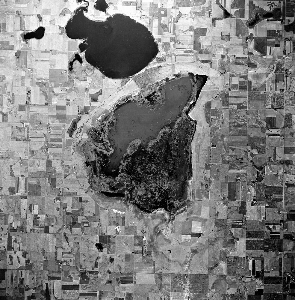
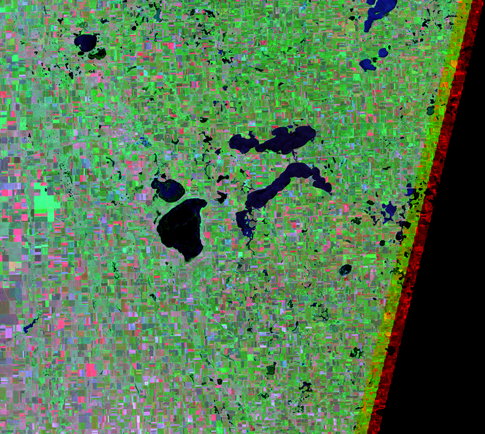
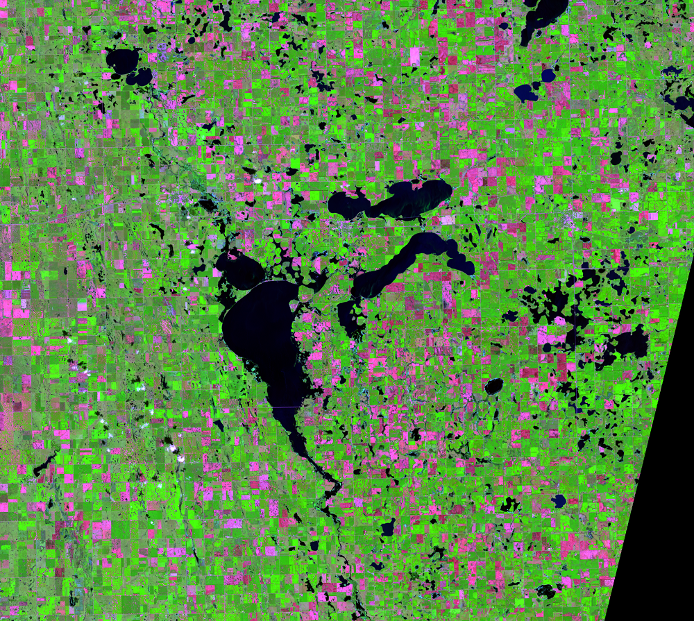
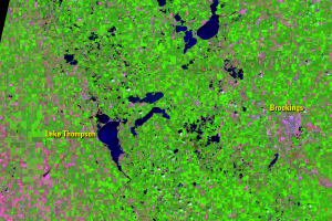
An aerial image from 1952 shows Lake Thompson as a wetland, with about one-third of it as open water. Landsat began observing the area in 1972 with multispectral imaging that includes visible and near-infrared bands, which are great at distinguishing open water from dry land.
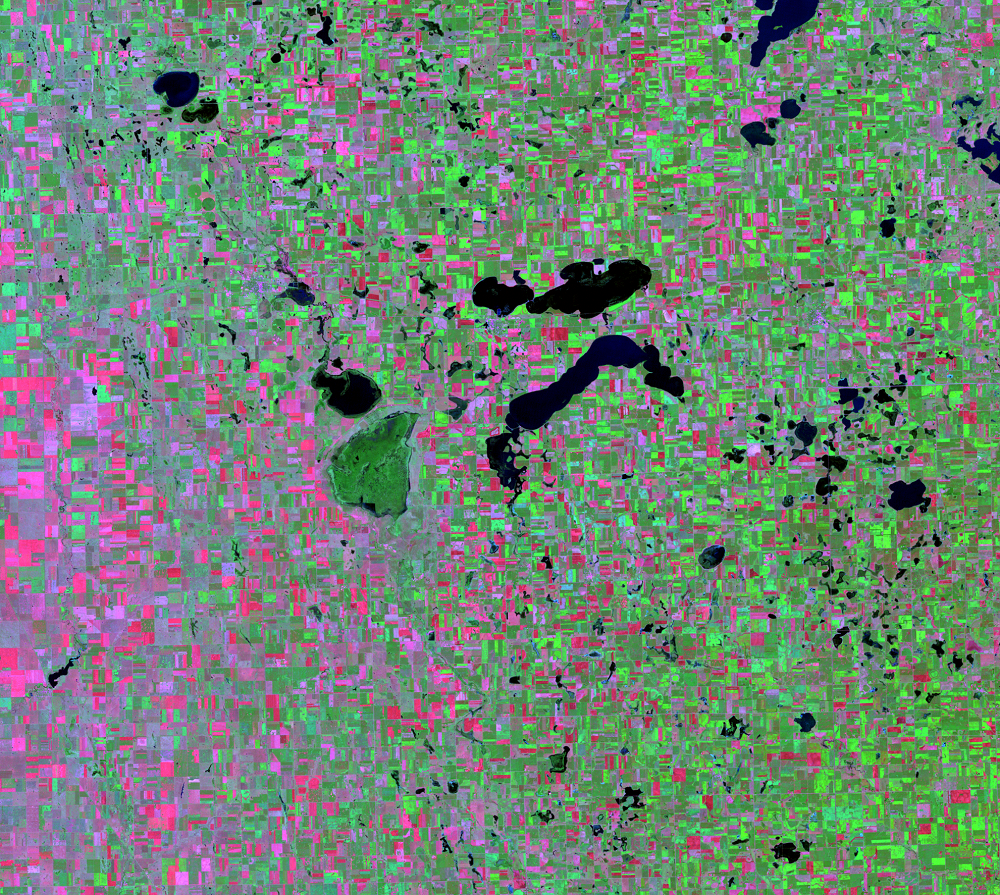
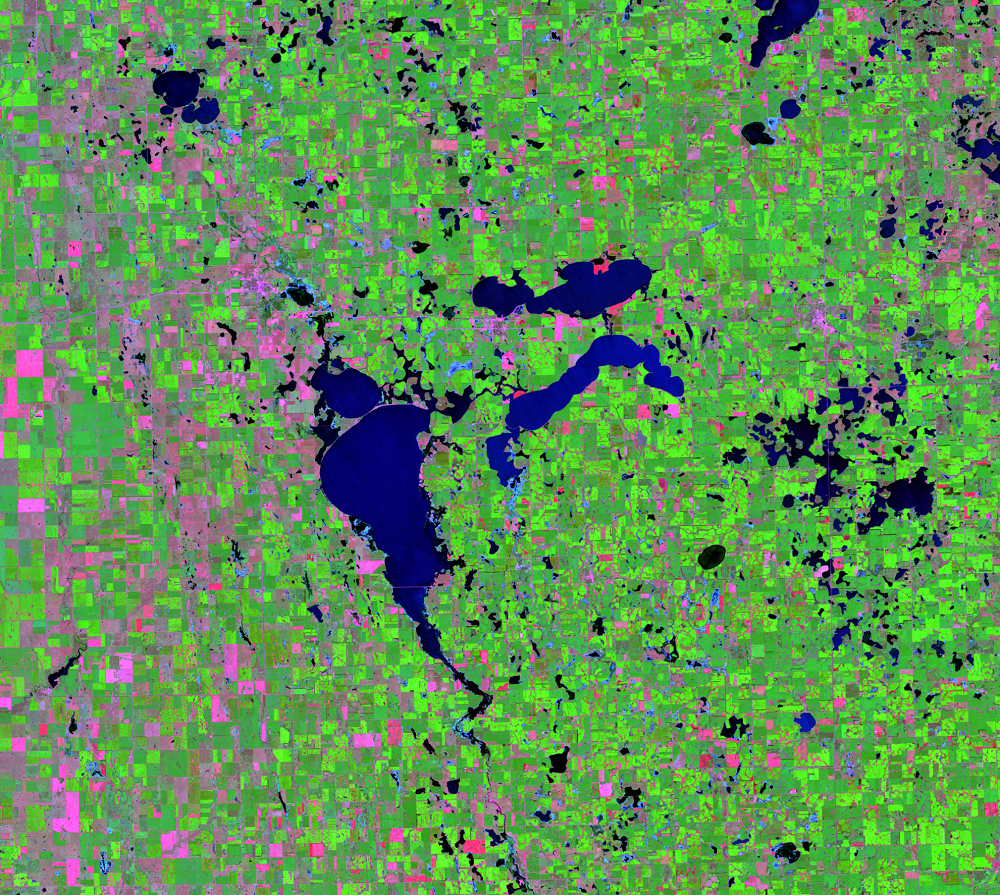
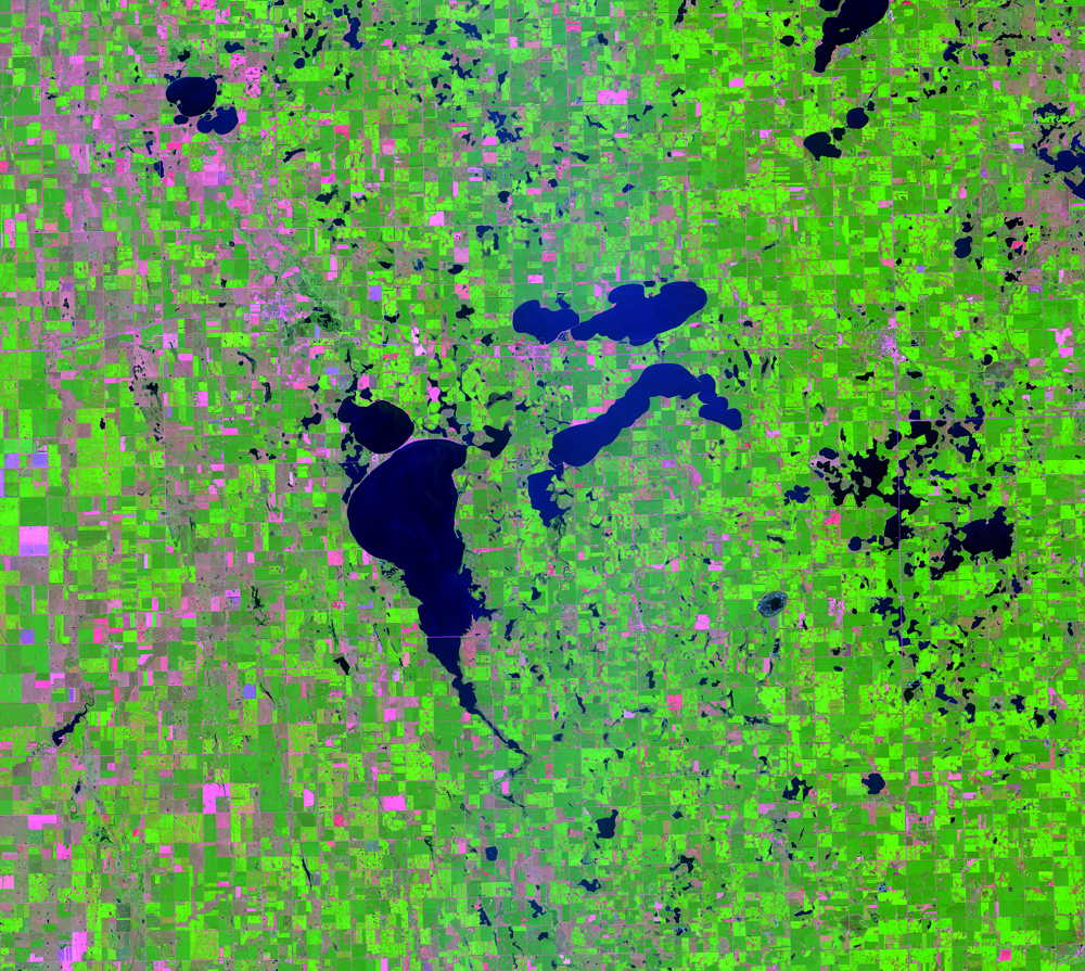
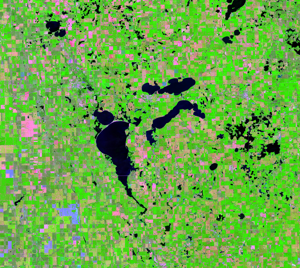
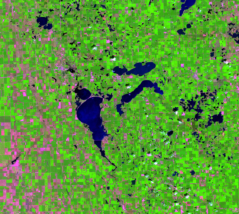
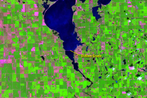
Water levels have fallen somewhat since the 1990s but continue to fluctuate depending on annual precipitation. Some shoreline and shallow areas change between dry land, marshland, and open water.
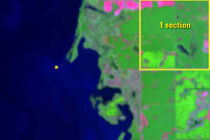
Most lakes in the PPR are closed systems. That means they do not have an outlet for water to flow out. It also means they can change a lot based on variable rainfall and snowmelt from year to year. As these water bodies expand, they can connect to other water bodies that were previously disconnected.
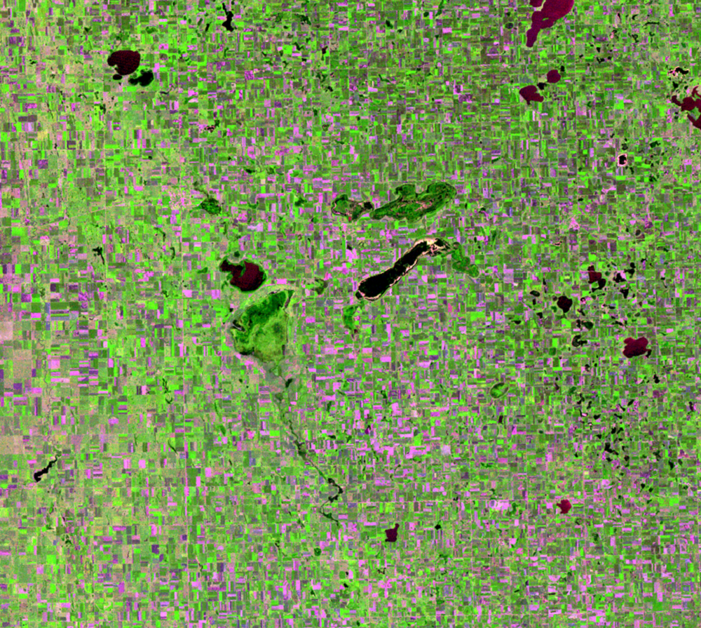
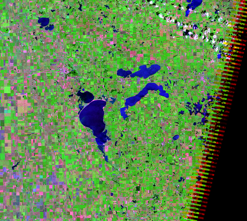
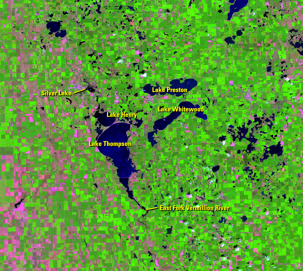
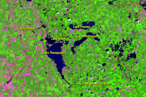
From around the 1890s until the mid-1980s, most lakes around Lake Thompson were closed lakes, disconnected from one another. Above average precipitation in 1984 brought an increase in tributary inflow into the lakes of Kingsbury County. Above average rain continued for two more years, and a chain reaction began that went something like this: In April 1986, Spirit Lake overflowed and drained into Mud Lake. Mud Lake then overflowed, its water draining to Silver Lake by way of a drainage channel. Silver Lake then overflowed into Lake Thompson.
But that’s not all.
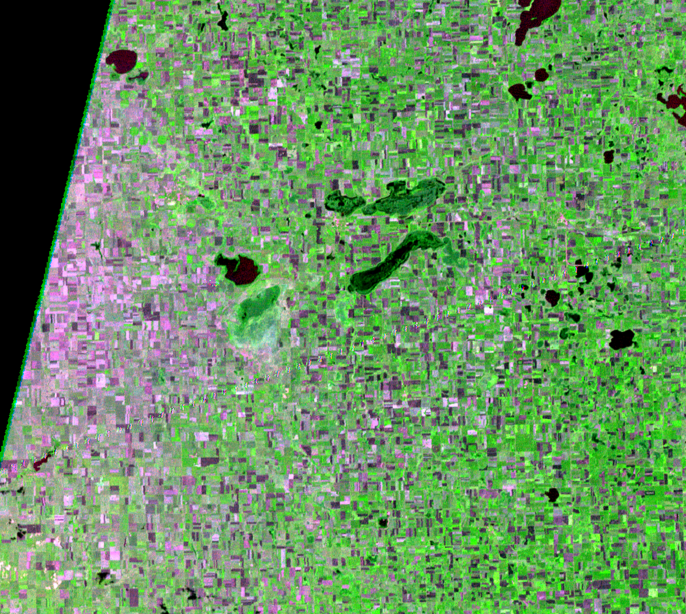
Lake Preston also overflowed around that time and drained into Lake Whitewood, which subsequently rose above its outlet and drained into Lake Thompson. By October 1986, Lake Thompson ceased to be a closed basin when it drained into the East Fork Vermillion River. Water from the East Fork Vermillion River subsequently flows into the Missouri River. This marked the first time Lake Thompson had overflowed in over 100 years.

Imagery


Downloads
Related Content
Lake Thompson, South Dakota, USA
Many lakes in eastern South Dakota have expanded during the Landsat re...
Farmland Inundated
The aerial photo from 1952 is black and white and doesn’t have the inf...
Hydrology
An aerial image from 1952 shows Lake Thompson as a wetland, with about...
Wildlife
Lake Thompson is a crucial habitat for migratory birds. The simultaneo...