

Iguazú Falls
Earth Resources Observation and Science (EROS) Center - Earthshots
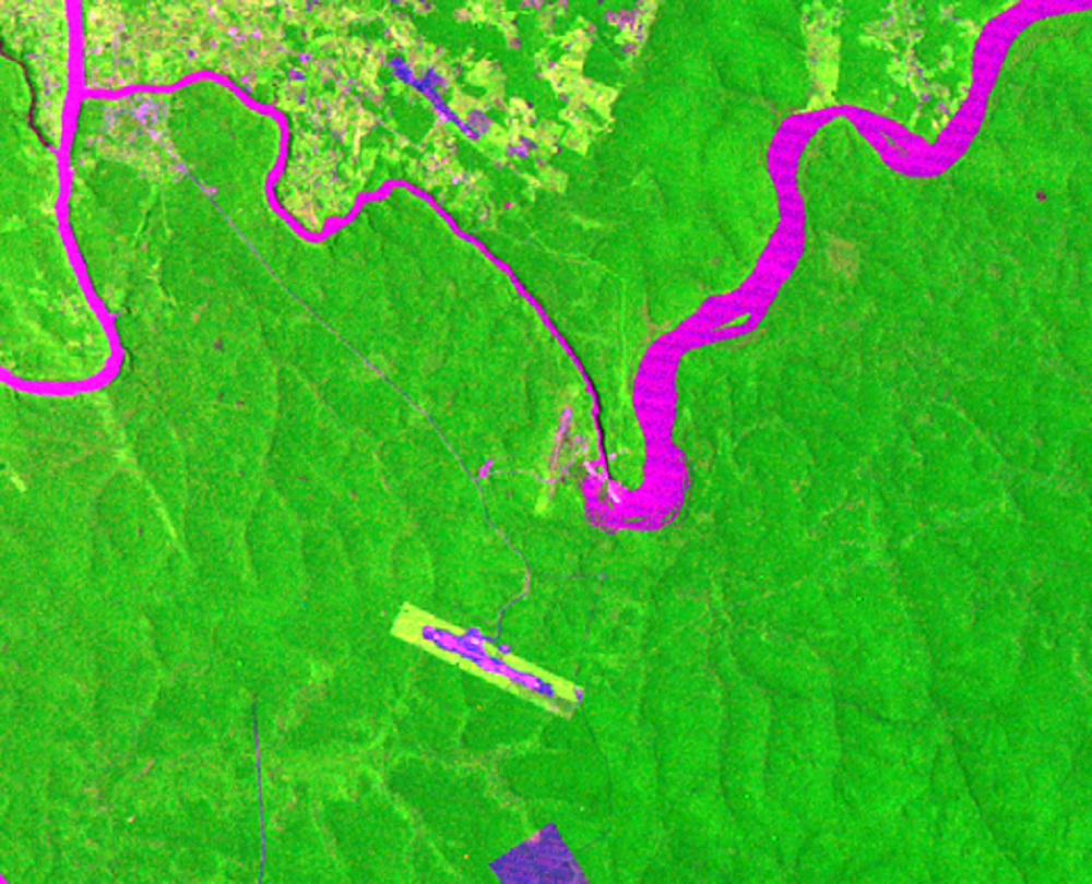
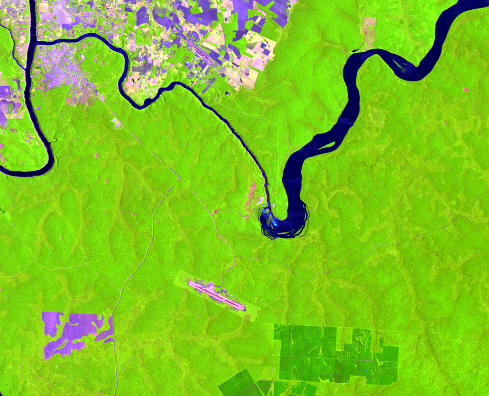
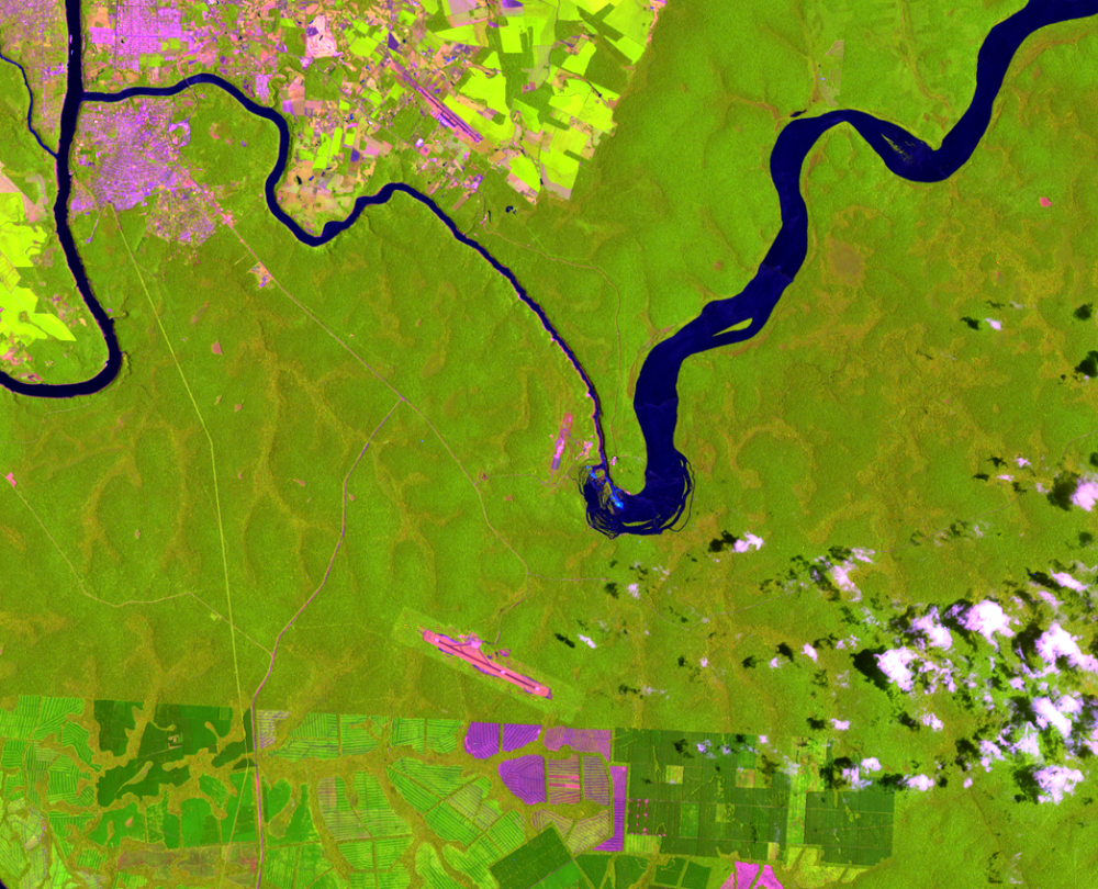
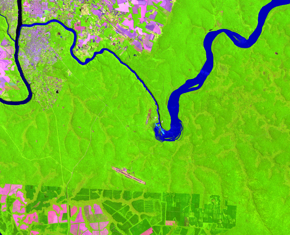
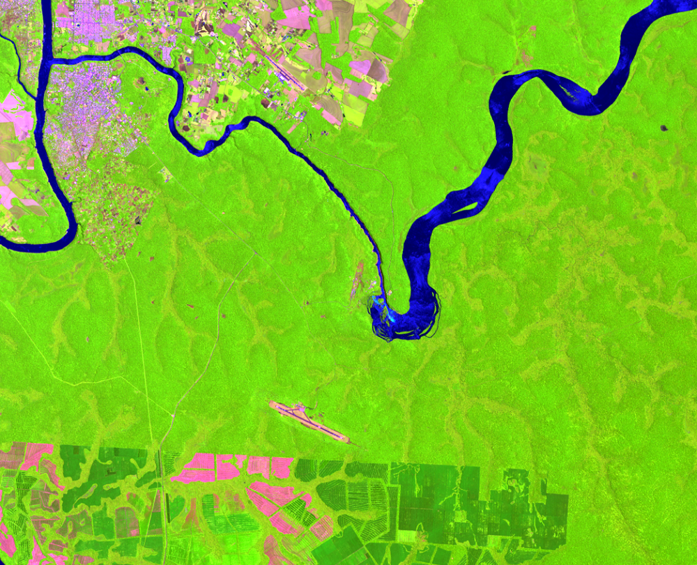
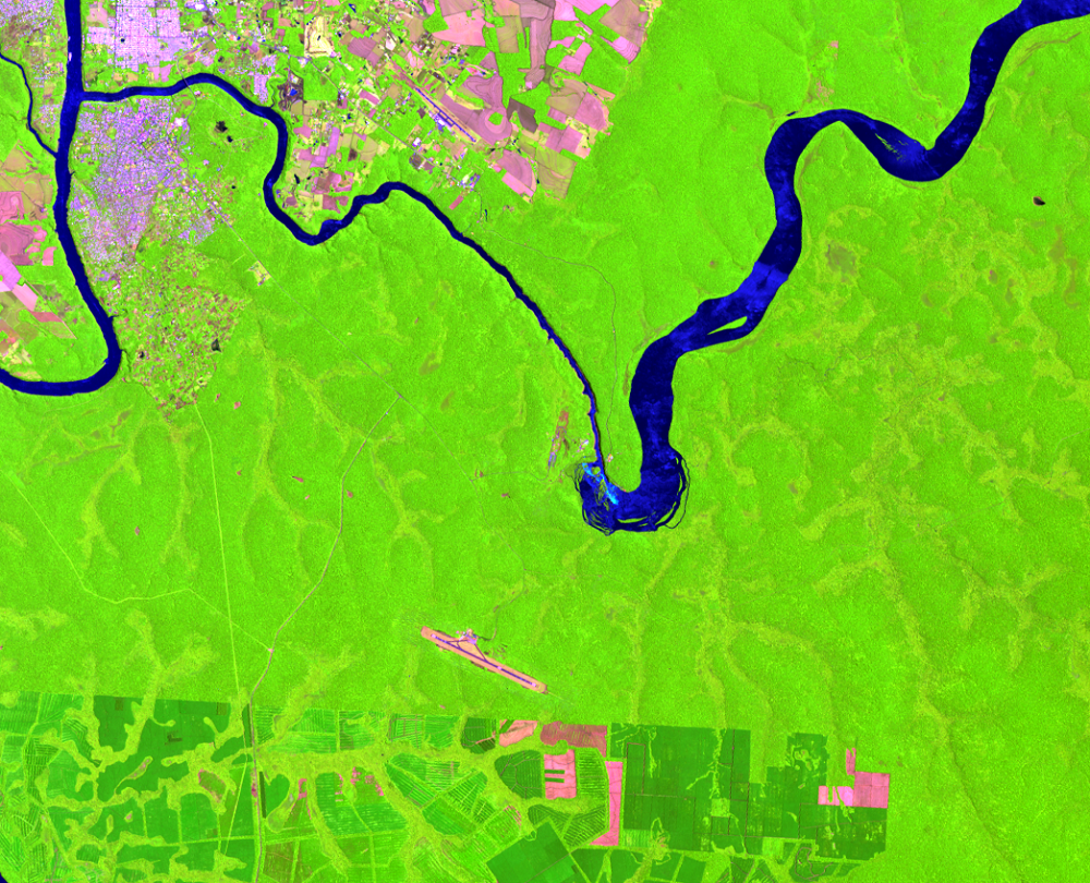
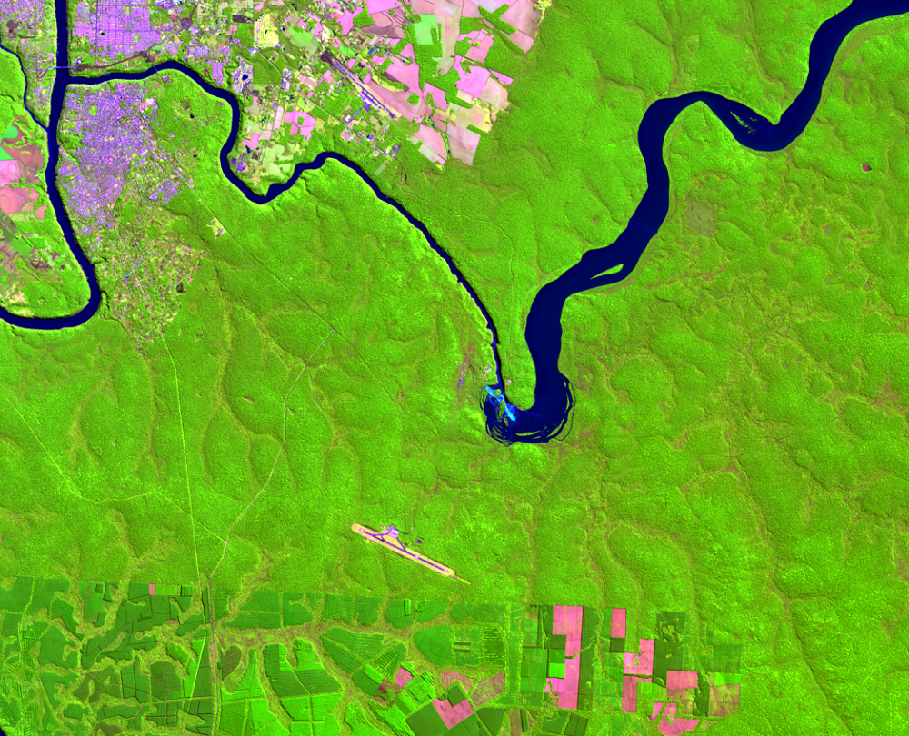
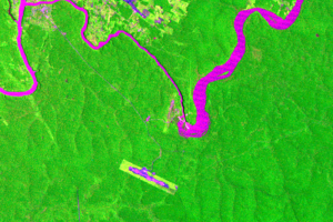
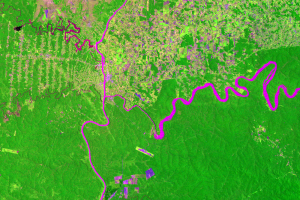
Within this scene is one of the largest waterfalls in the world. On the border between Brazil and Argentina on the Iguazú River, 275 falls collectively make up Iguazú Falls. “Devil’s Throat” is the tallest at 80 meters.
Landsat’s 30-meter resolution doesn’t reveal the falls in great detail. But in the 2011 image, a blue-white line at the location of the falls points down toward the southeast. This line is the foamy water crashing over the Devil’s Throat portion of the falls.
A runway is visible southwest of the falls. This is Cataratas Airport, which serves the city of Puerto Iguazú, Argentina, and provides access for tourists to visit the falls.
Iguazú Falls was named one of the New 7 Wonders of Nature in 2011.
Imagery
Every picture has a story to tell

Correlated
Additional story information
Downloads
Other Stories
Related imagery and additional content
Iguazú Falls
Within this scene is one of the largest waterfalls in the world. On th...
Iguazú National Park
Iguazú National Park is located in Argentina on the border with Brazil...
Itaipú Dam
The world’s largest hydroelectric power plant is on the Paraná River b...