

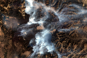
Infrared Views of Fire
Earth Resources Observation and Science (EROS) Center - Earthshots
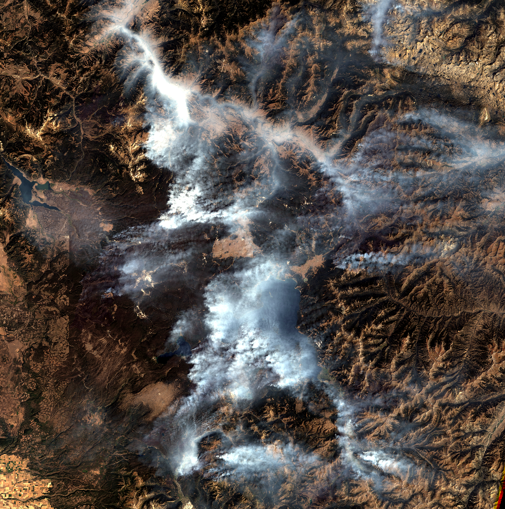
In natural color satellite images of wildfires, smoke often obscures the view of the ground. Landsat uses several infrared wavelengths, or bands, of light. If some of those infrared wavelengths are used, then different details about the location of burned areas emerge.
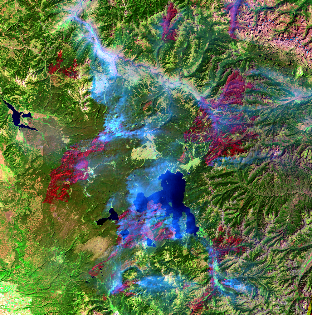
The combination of bands we have been looking at use two infrared wavelengths along with one visible band (green). This combination shows freshly burned areas as deep red and vegetation as green. Smoke from fire appears blue. The infrared bands help us see the burned areas clearly, but the smoke can still get in the way.
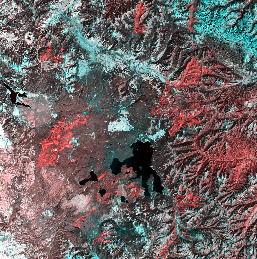
The third image at the left uses Landsat’s thermal infrared band and a shortwave infrared band to cut through the smoke to see ground conditions. In this false color image, burned areas are red-orange. This view can help people see where fire might be approaching populated areas.
Imagery
Every picture has a story to tell
Correlated
Additional story information
Downloads
Other Stories
Related imagery and additional content
Fire and Recovery
In these Landsat images, the old forest is dark green. In the 1987 ima...
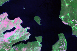
Frank Island
Besides some recovery from the 1988 fires on the west side of Yellowst...
Infrared Views of Fire
In natural color satellite images of wildfires, smoke often obscures t...
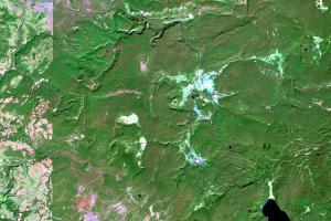
Old Faithful
This series shows the area around the famous Old Faithful geyser. Geys...
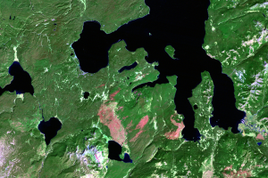
Yellowstone Lake
As you look through this time series, see if you can identify new fire...