

Lake Ketelmeer and the IJsseloog
Earth Resources Observation and Science (EROS) Center - Earthshots
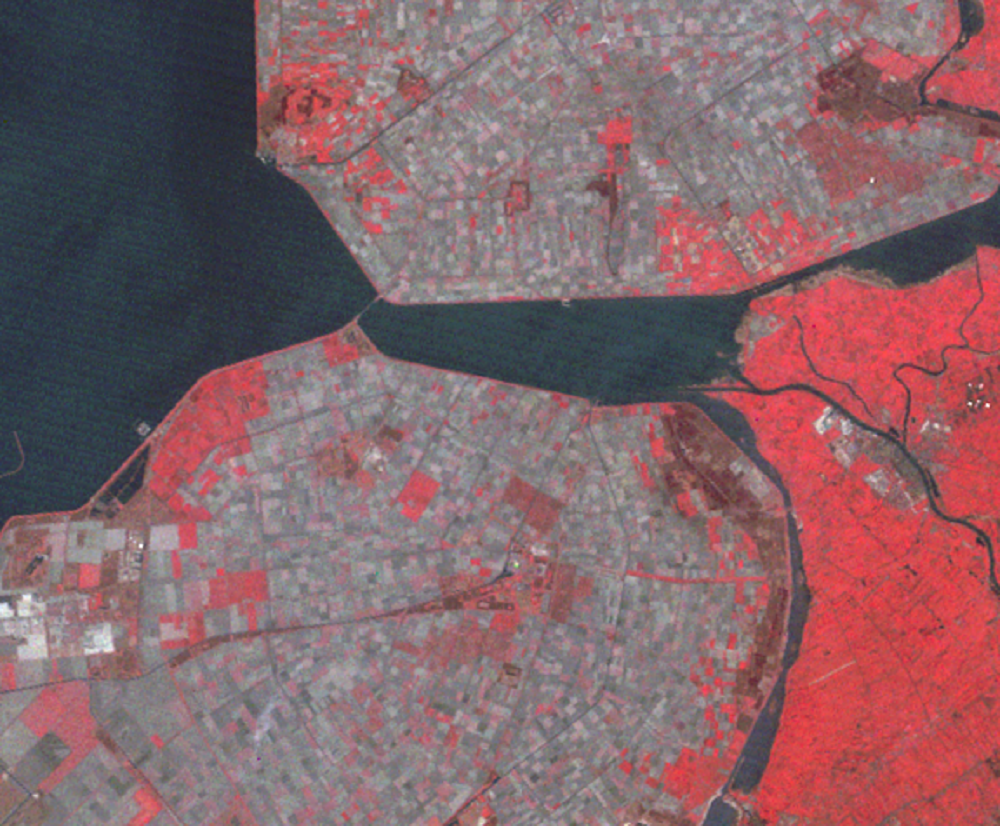
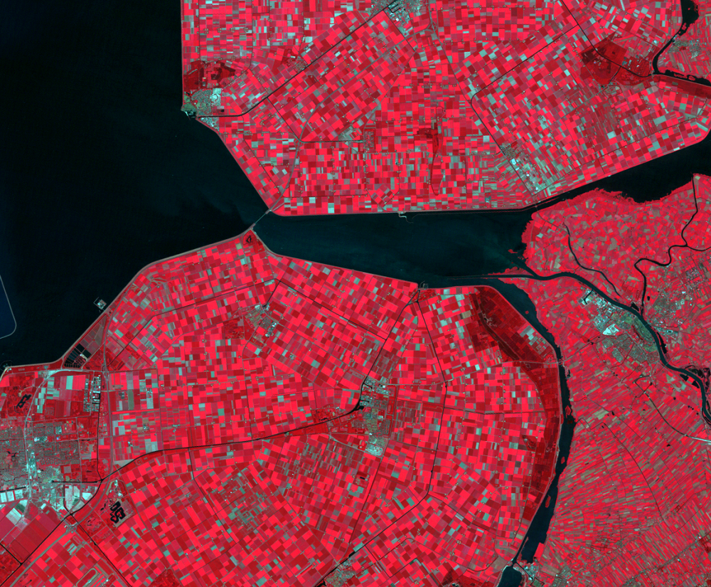
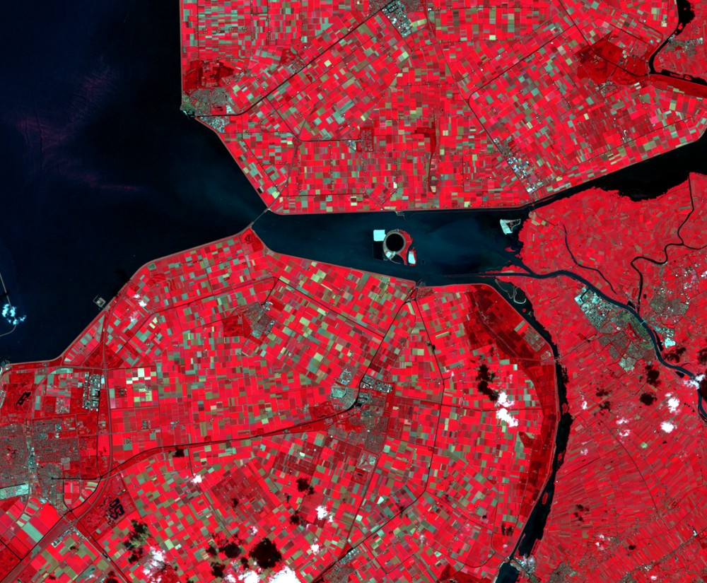
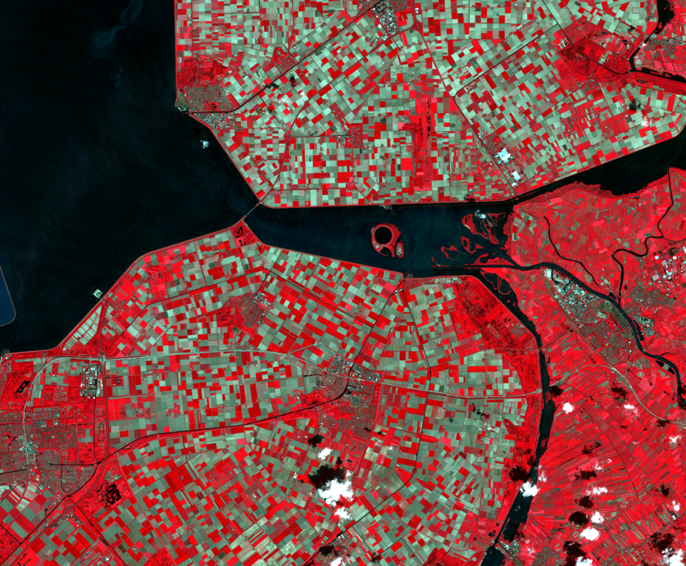
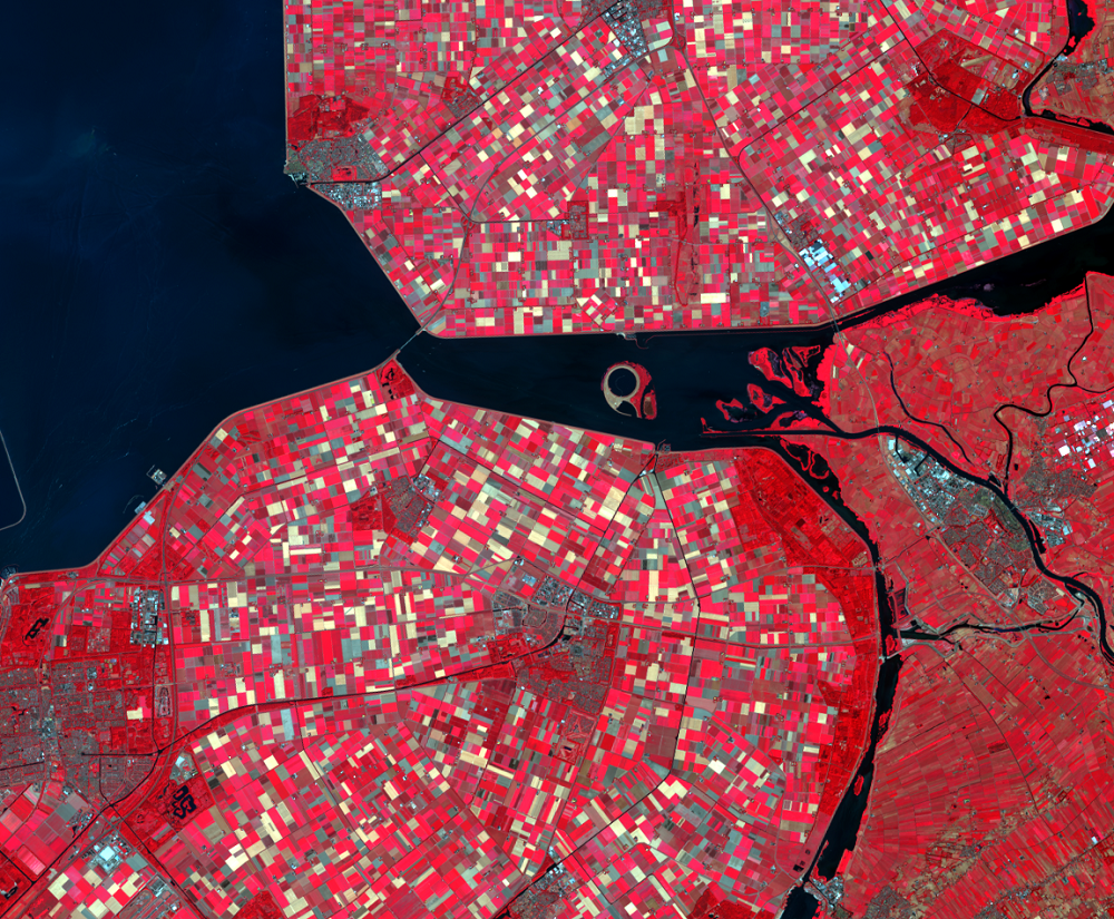
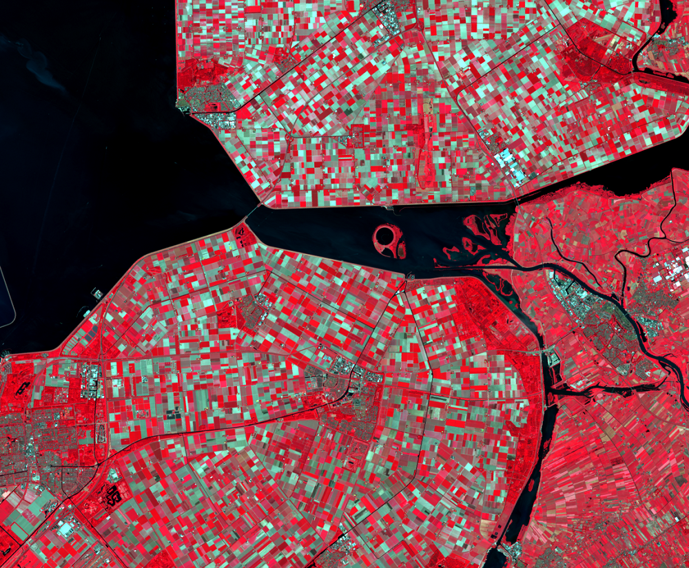
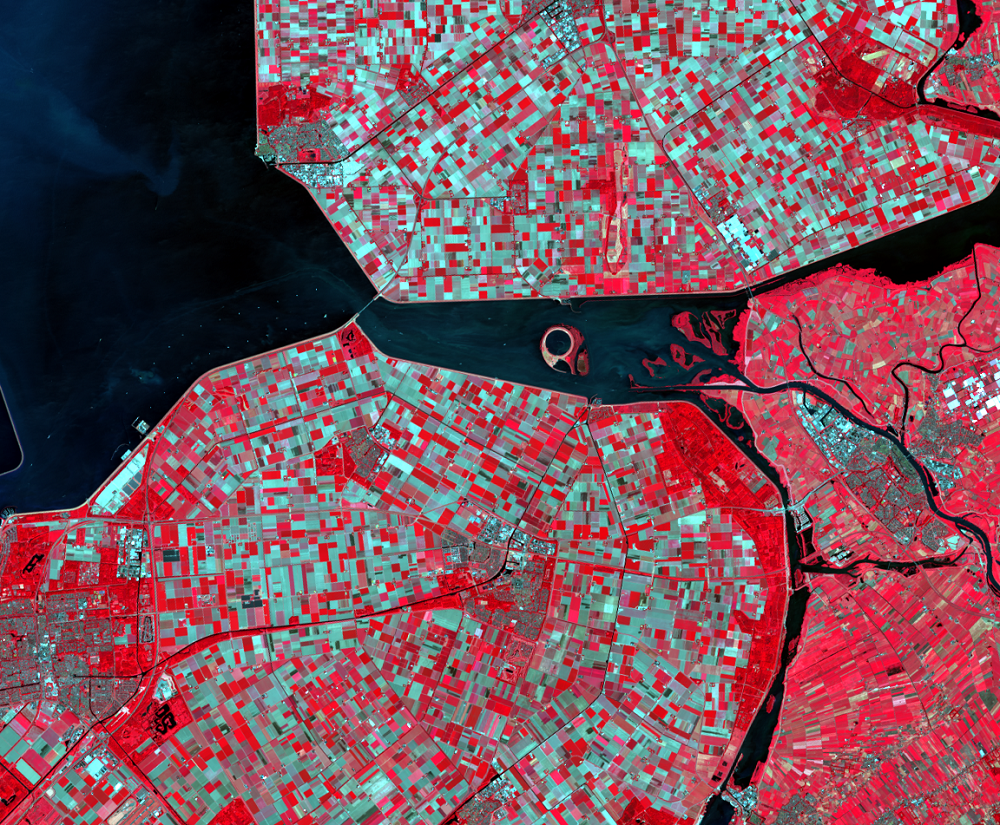
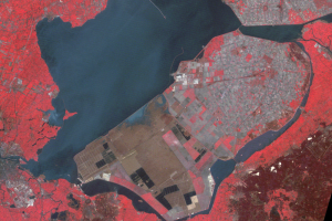
The narrow lake east of IJsselmeer is Lake Ketelmeer. The lake receives water from rivers that carry industrial pollutants from factories upstream. Those polluted sediments have settled to the bottom in a thick layer of contaminated sludge. To restore a normal aquatic environment, this material needs to be removed from the lakebed.
In the middle of the lake, in the 2010 image, a circular feature appears. This artificial island is called the IJsseloog, a repository for contaminated material dredged from the bottom of the lake. Once the repository is full, it will be capped and turned into a nature reserve.
Imagery
Every picture has a story to tell
Correlated
Additional story information
Downloads
Other Stories
Related imagery and additional content
Lake Ketelmeer and the IJsseloog
The narrow lake east of IJsselmeer is Lake Ketelmeer. The lake receive...
Southern Flevoland and Markerwaard
Southern Flevoland, the southernmost of the polders, was the last to b...