

Limestone Mining
Earth Resources Observation and Science (EROS) Center - Earthshots
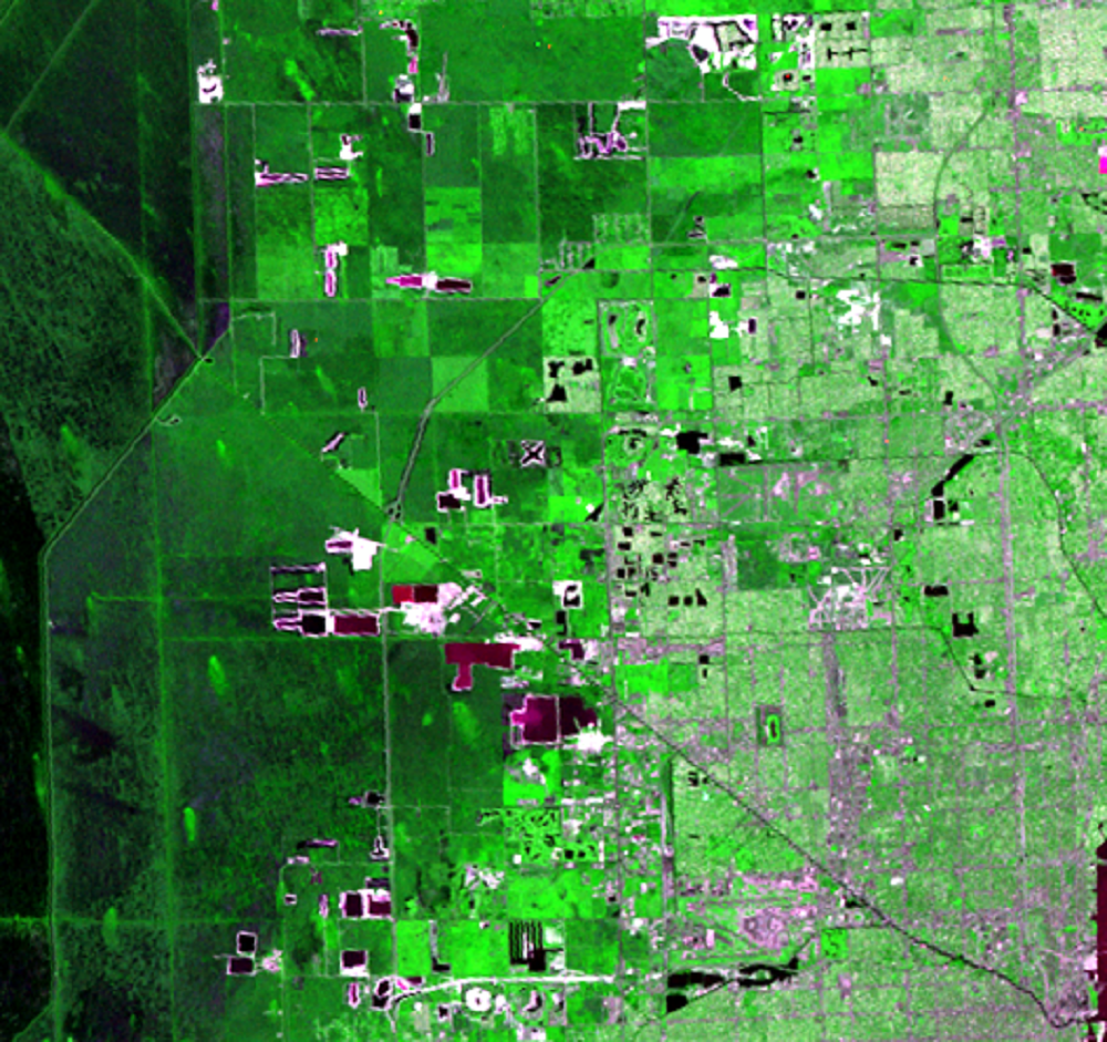
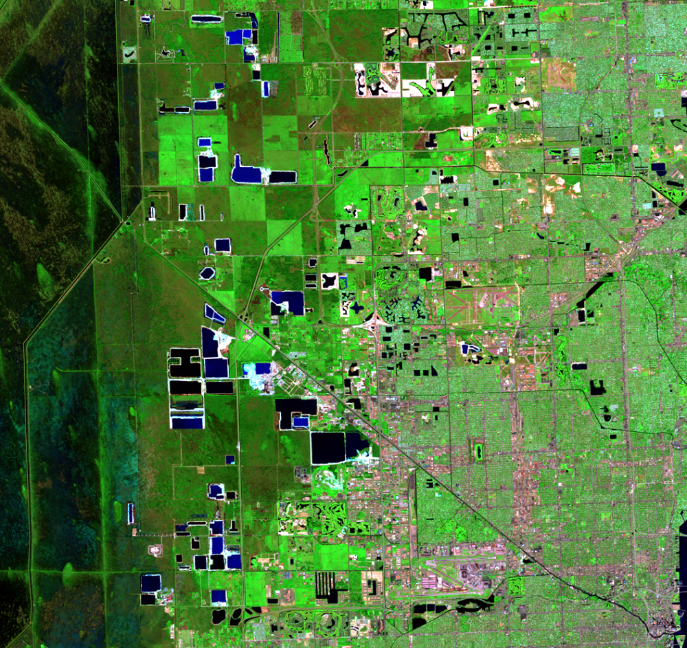
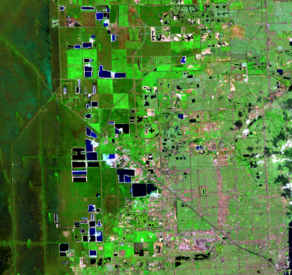
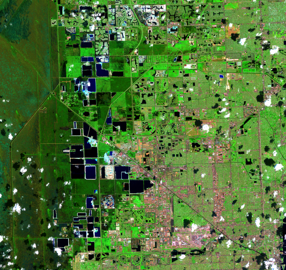
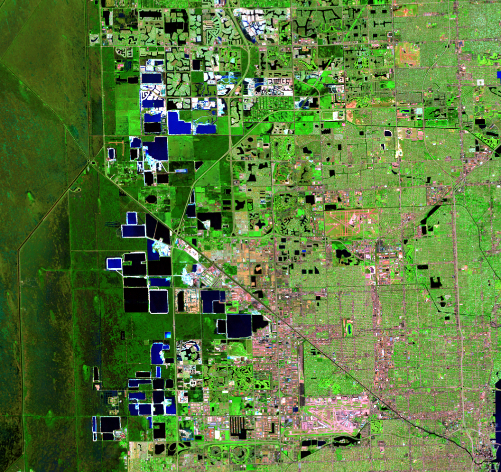
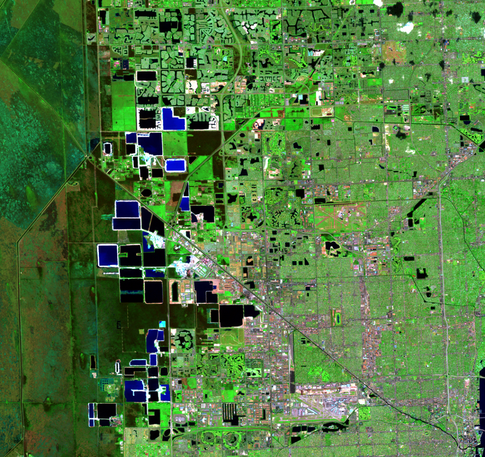
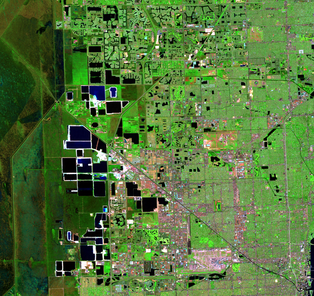
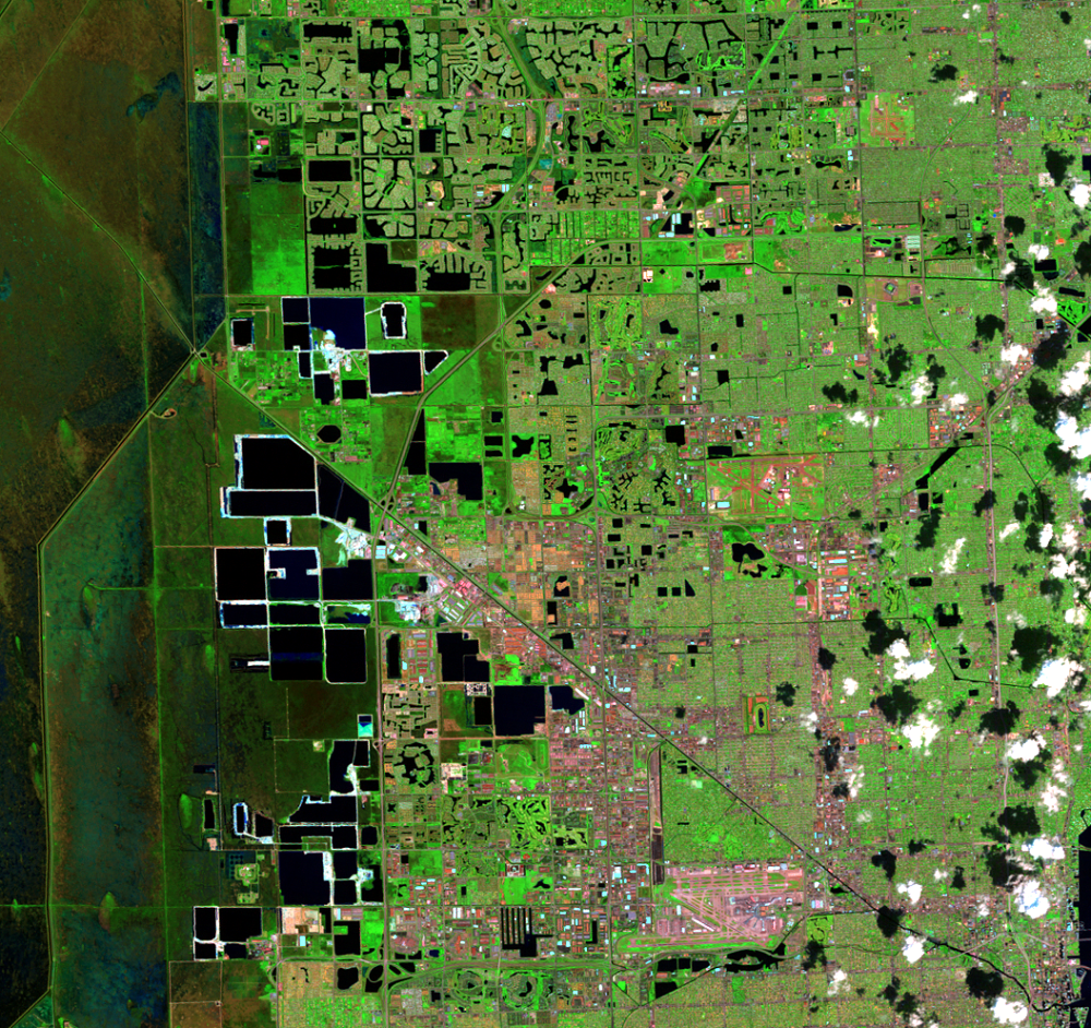
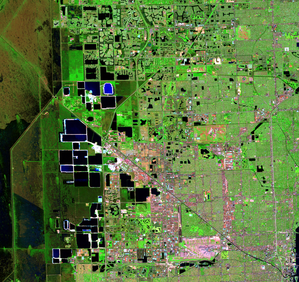
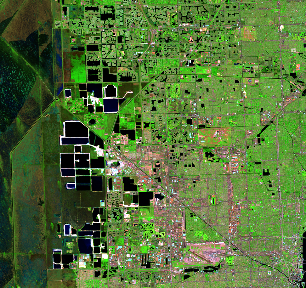
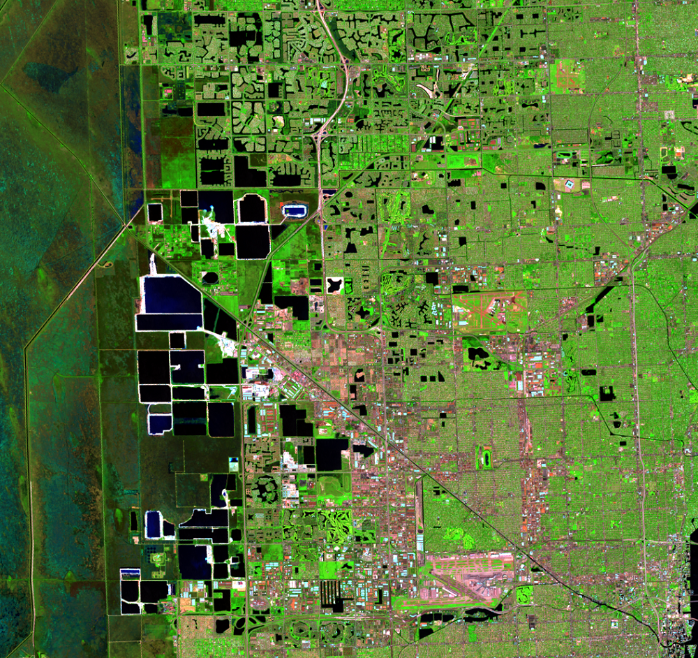
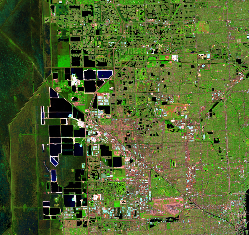
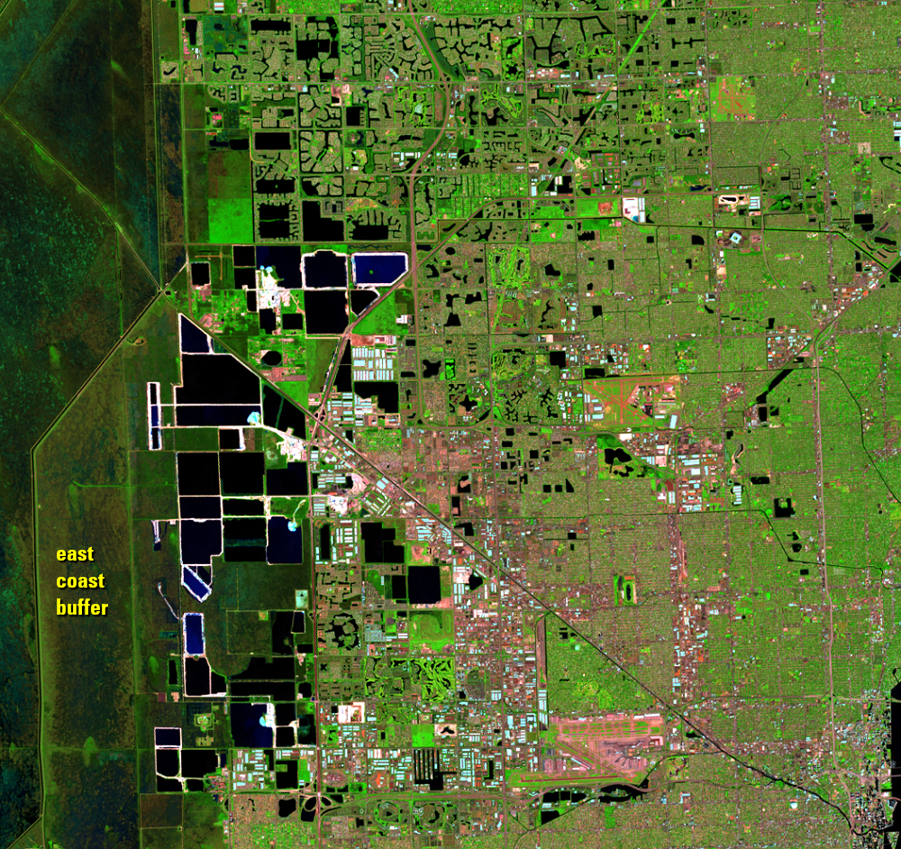
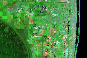
The Everglades sit on top of a bedrock of limestone. Limestone quarries, the dark rectangular shapes just west of the urban areas, provide about half of the rock used in Florida’s construction.
In this part of Florida, groundwater is very near the surface. So as the rock is mined, the quarry pits fill with water. These lakes range from 30 to 50 feet deep and cover a total of about 4,900 acres. Because of these artificial lakes, the region earned the name “The Lake Belt.” These rectangular water bodies expand and change shape over time in the image series.
Near the top center to the left of the highway, some of the areas that started out as mines turned into developed, with that desirable waterfront incorporated into the residential areas.
The prominent diagonal line running from the upper left to the lower right is the Miami Canal, which flows from Lake Okeechobee and into the Miami River near the airport. The river then flows through downtown Miami and into Biscayne Bay.
On the far left of these images is a vertical line that marks the boundary of the Francis S. Taylor Wildlife Management Area. Between that and the limestone pits is the Pennsuco Wetlands, part of the east coast buffer project, designed to act as a zone of protection between the Everglades and the urban centers further east. Water can be captured, stored, and released when it benefits both the urban communities and the ecosystem. Higher water levels in the Everglades then have less chance to impact the populated areas.
Imagery
Every picture has a story to tell

Correlated
Additional story information
Downloads
Other Stories
Related imagery and additional content
Agriculture
The fertile muck soils along the south shore of Lake Okeechobee in the...
Canals and Levees
Historically, water flowed slowly southward through the Everglades in ...
Limestone Mining
The Everglades sit on top of a bedrock of limestone. Limestone quarrie...
Residential Lakes
A lot of the urban area consists of large planned communities, often f...
Tree Islands
A unique feature of the Everglades is the dark green teardrop-shaped f...
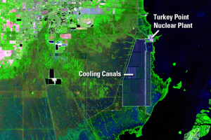
Turkey Point
There is a notable shape southeast of Homestead on the coast of the Ba...
Urban Development
In 1900, southeastern Florida included a few small towns with a popula...