

Mine Tailings
Earth Resources Observation and Science (EROS) Center - Earthshots
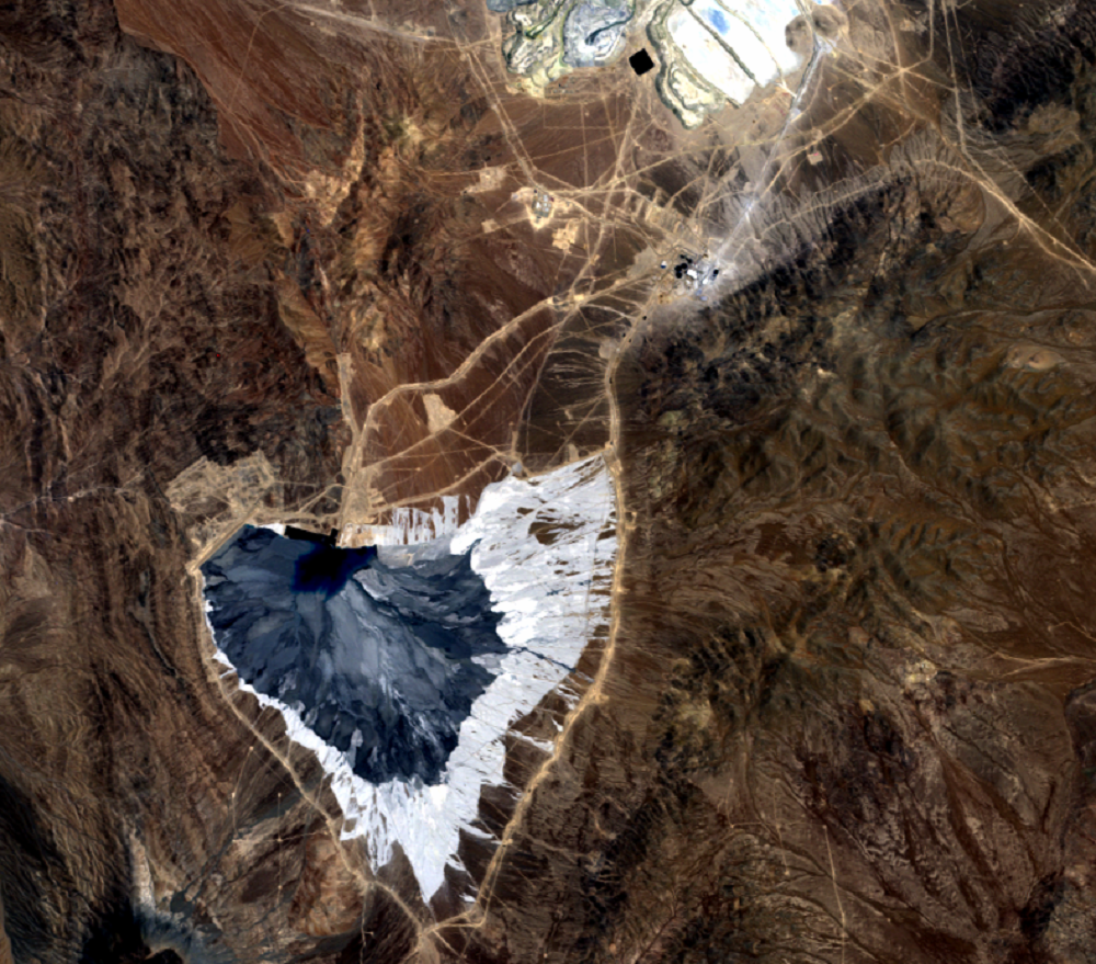
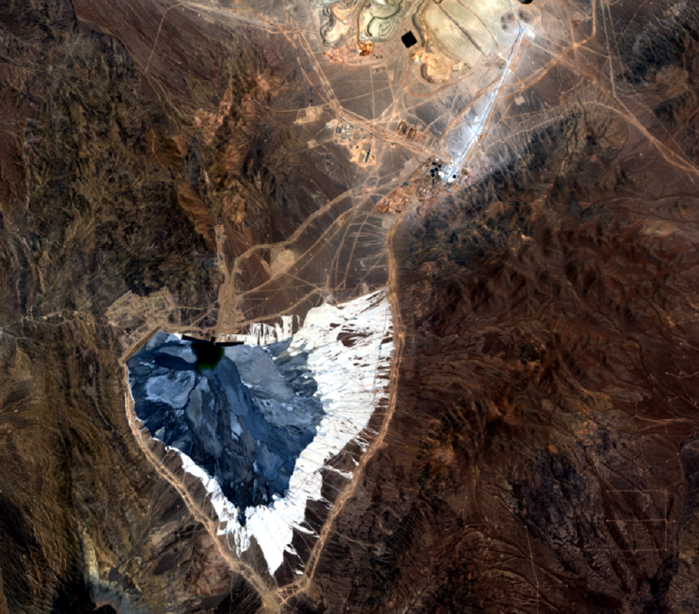
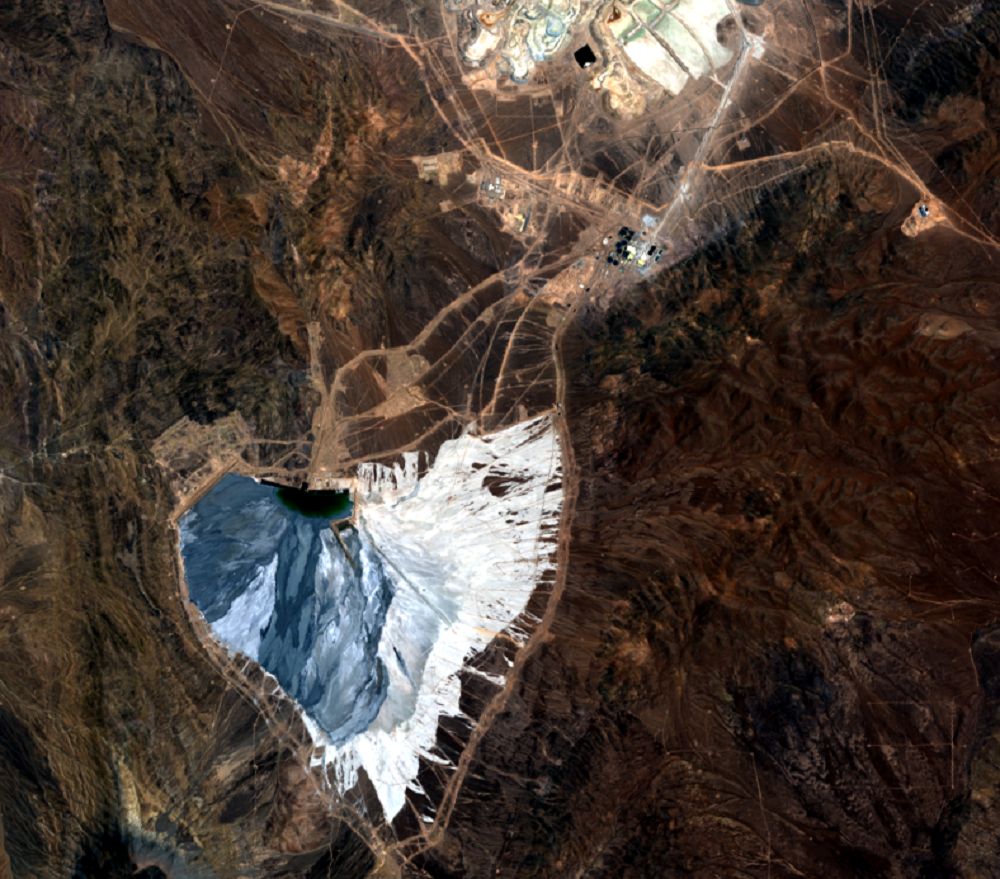
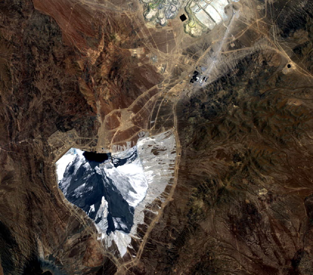
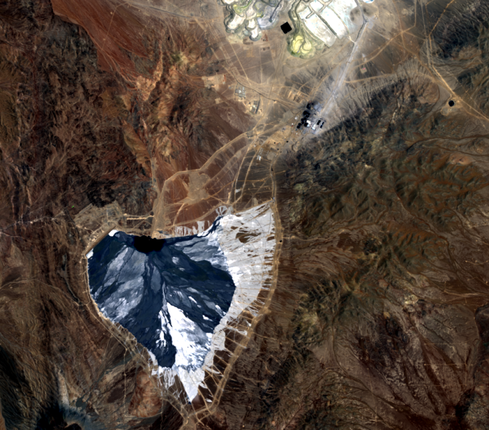
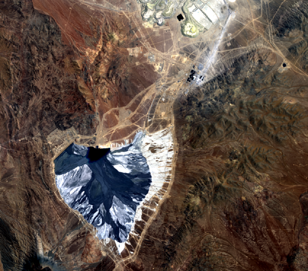
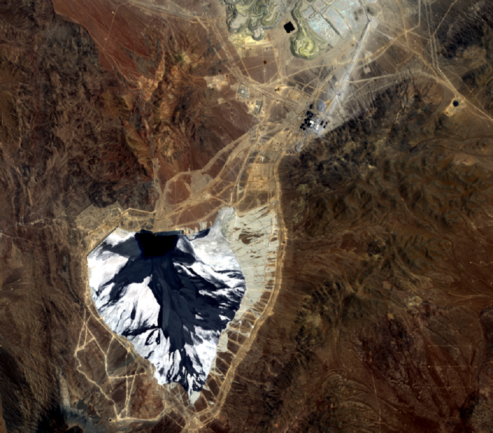
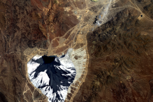
To conserve water and minimize environmental impacts, Escondida created a tailings impoundment that has expanded along with its mining operations. The tailings material is left over after the majority of the valuable metals have been removed from the ore.
This copper-bearing waste is poured into the impoundment area as a liquid (dark region at the bottom of the 2011 and later images); it dries to the lighter-toned spoil seen in the images. The spoil is held behind a retaining dam, just more than 1 kilometer long, visible in the 2011 and later images as a straight line on the northwest corner of the pond.
Imagery

Downloads
Related Content
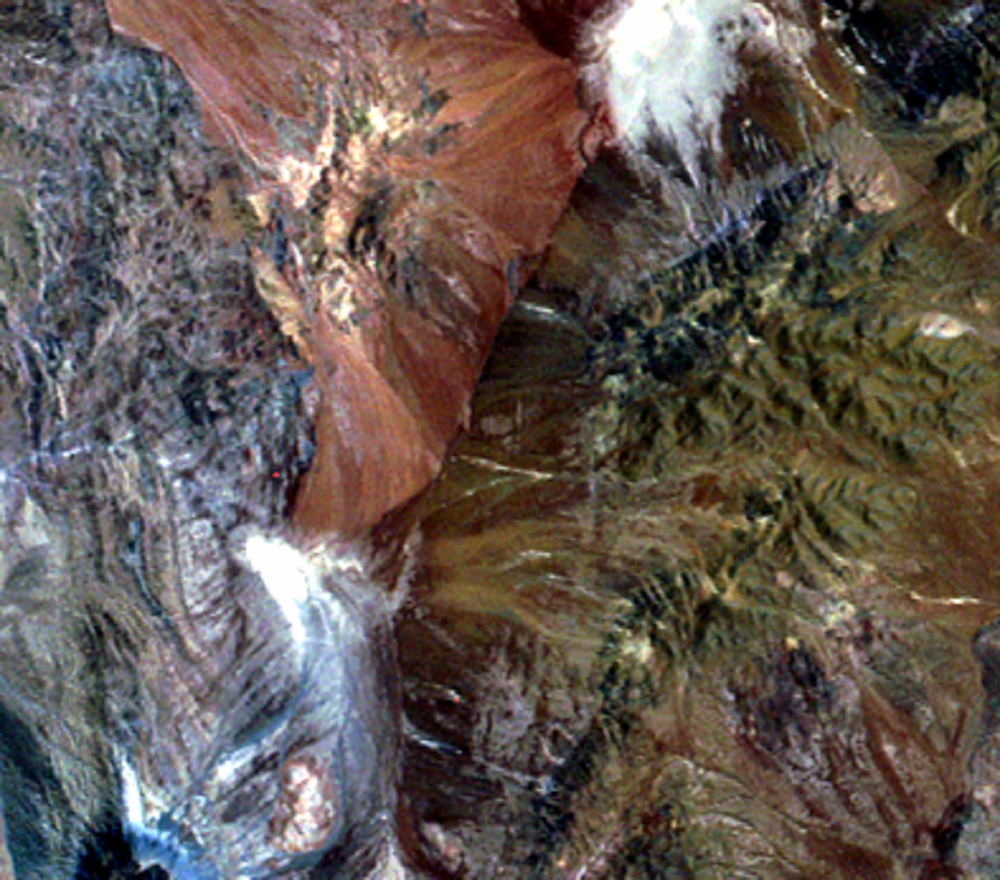
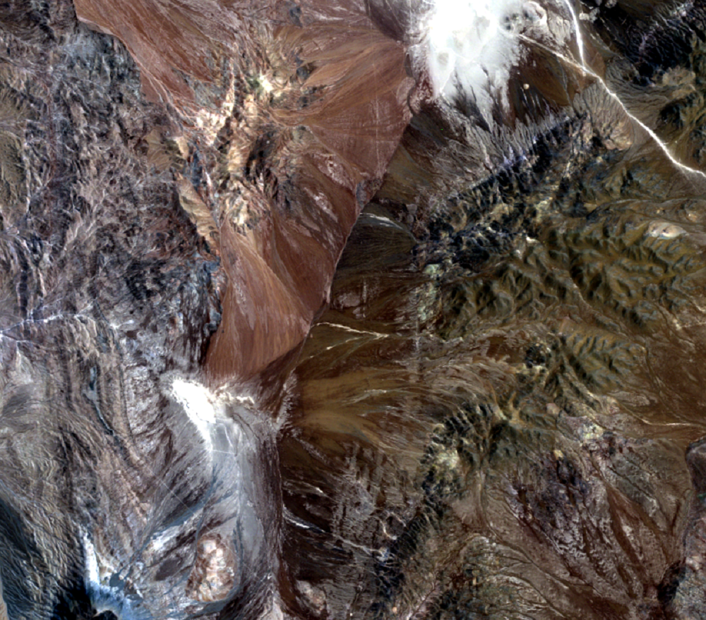
Escondida Mine, Chile
Isolated in Chile’s northern Atacama Desert, the open-pit Escondida Mi...
Mine Tailings
To conserve water and minimize environmental impacts, Escondida create...
Pit Production
Production in the Escondida Mine began in 1990. Total mined copper pro...