

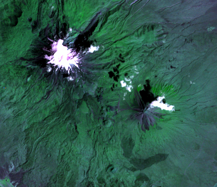
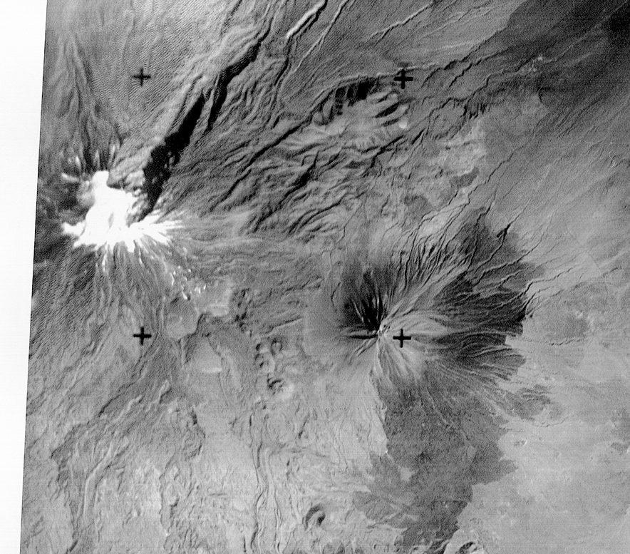
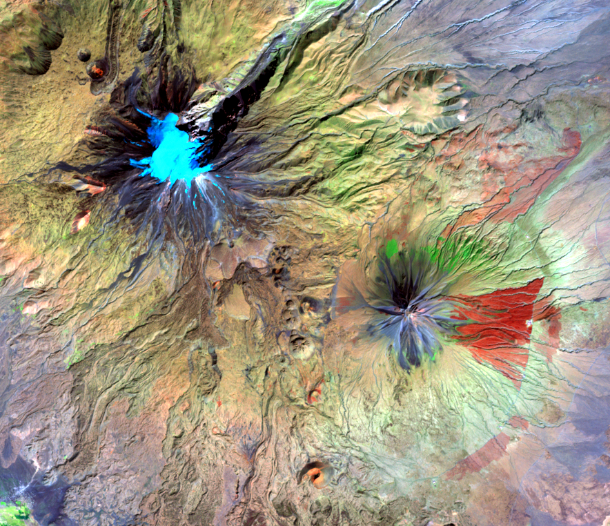
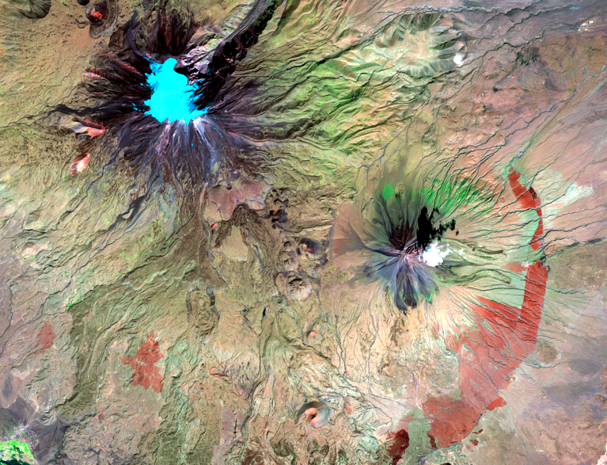
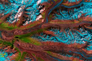
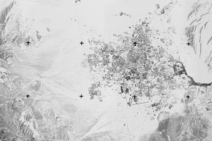
Mt. Ararat
Earth Resources Observation and Science (EROS) Center - Earthshots
Despite its problems, RBV data has been used in land change studies.
RBV data was used in a recent scientific study of glaciers in Turkey. Scientists used RBV images from 1980 (along with dozens of other Landsat images and high-resolution commercial satellite images) to document the areal extent of all glaciers in that country. The researchers noted that RBV’s higher resolution was an excellent source for glacier studies.
The glacier covering the top of Mount Ararat is Turkey’s largest glacier. Based on data from the RBV and more recent Landsat sensors, the glacier area of Ararat diminished from 8.9 square kilometers in 1977 to 5.6 square kilometers in 2008, according to the study. Most loss took place on the southern, western, and eastern sides of the mountain.
Even though RBV had an impressive spatial resolution, the near-infrared and shortwave infrared imaging capability on current Landsats defines the extent of ice more clearly than RBV could.
The depth of the Landsat archive across the history of Landsat sensors made this study possible. It’s important to continue to monitor these glaciers and gauge the effects of these changes, and RBV turned out to be an excellent source where data did not already exist.
| Year | AREA |
|---|---|
| 1977 | 8.9 km2 |
| 1987 | 8.7 km2 |
| 1998 | 7.1 km2 |
| 2000 | 6.7 km2 |
| 2004 | 6.3 km2 |
| 2008 | 5.6 km2 |
| 2013 | 5.3 km2 |
Imagery

Downloads
Related Content
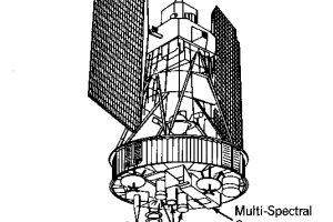
Landsat’s Return Beam Vidicon
A sensor on the early Landsats had a name worthy of some Star Trek gad...
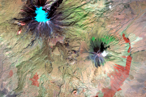
Alaska
One of the factors that improves on Landsat sensors over the project’s...
Mt. Ararat
Despite its problems, RBV data has been used in land change studies. R...
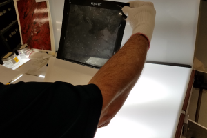
RBV Data
Roughly 138,000 images were taken by the RBV on Landsat 3. The data we...
RBV's Beginnings
Landsat’s RBV had an inauspicious beginning. It rode into orbit on Lan...
RBV's Problems
Because of RBV’s higher spatial resolution than MSS, glaciologists wer...