

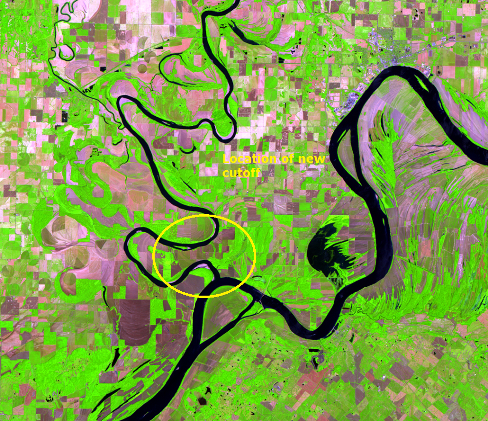
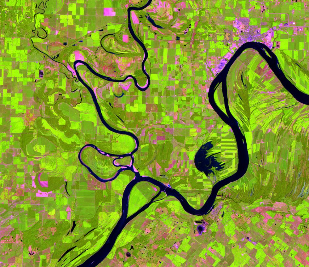
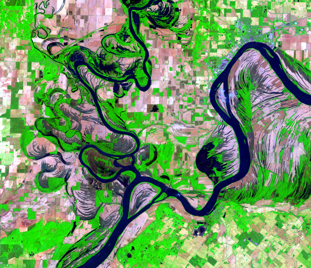
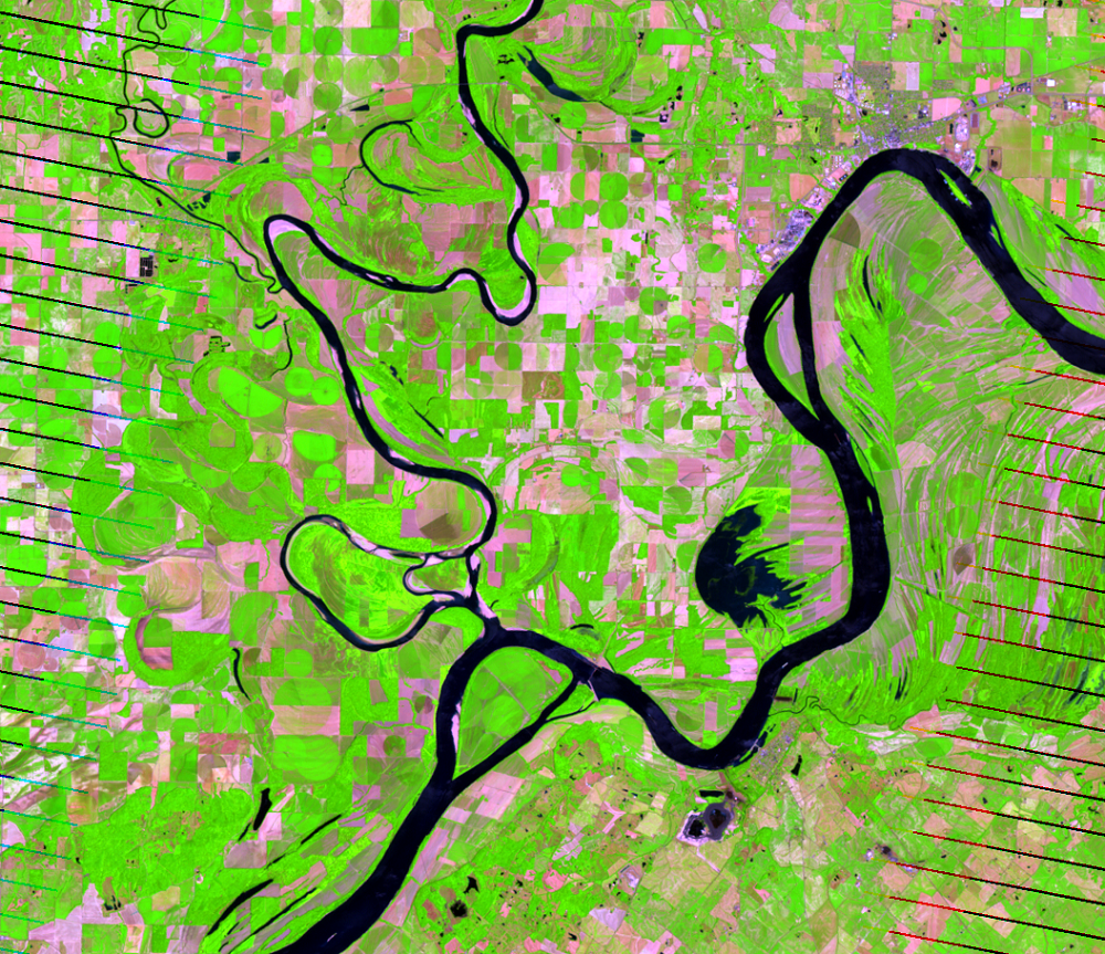
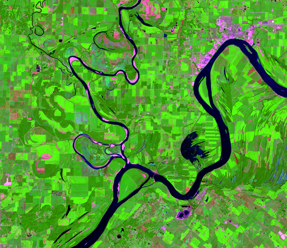
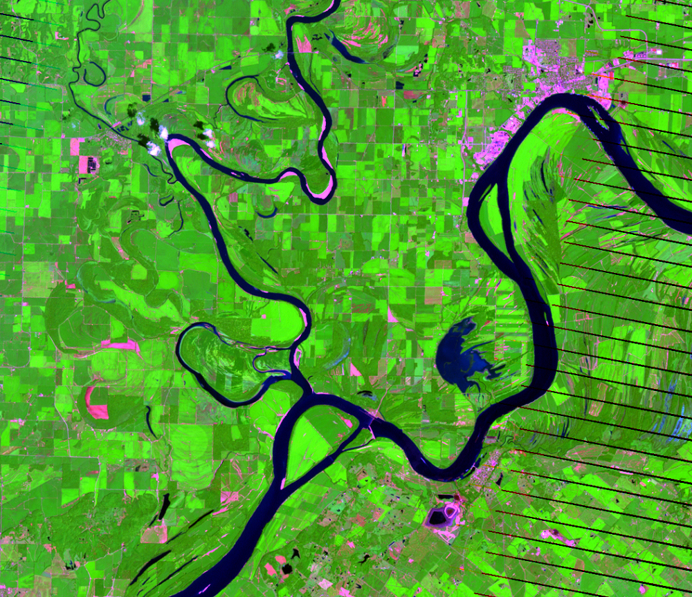
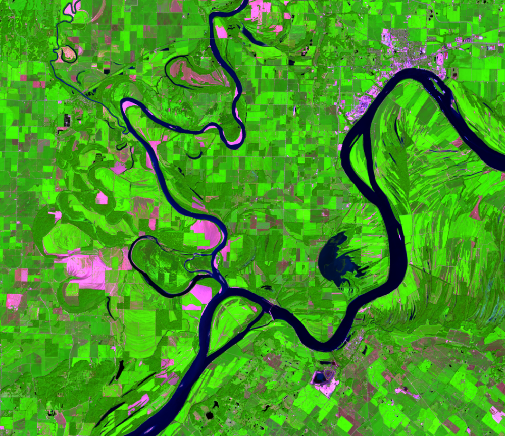
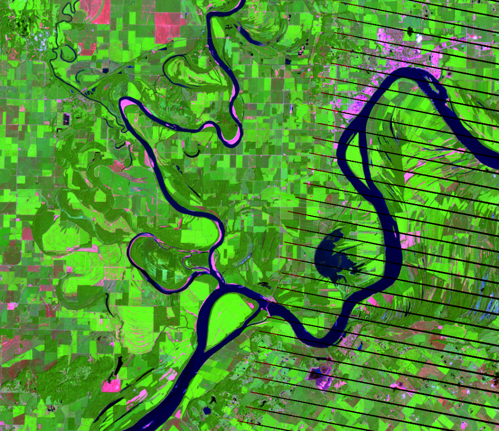
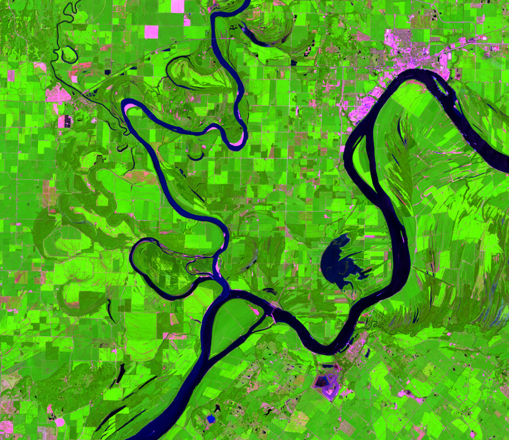
A New Cutoff
Earth Resources Observation and Science (EROS) Center - Earthshots
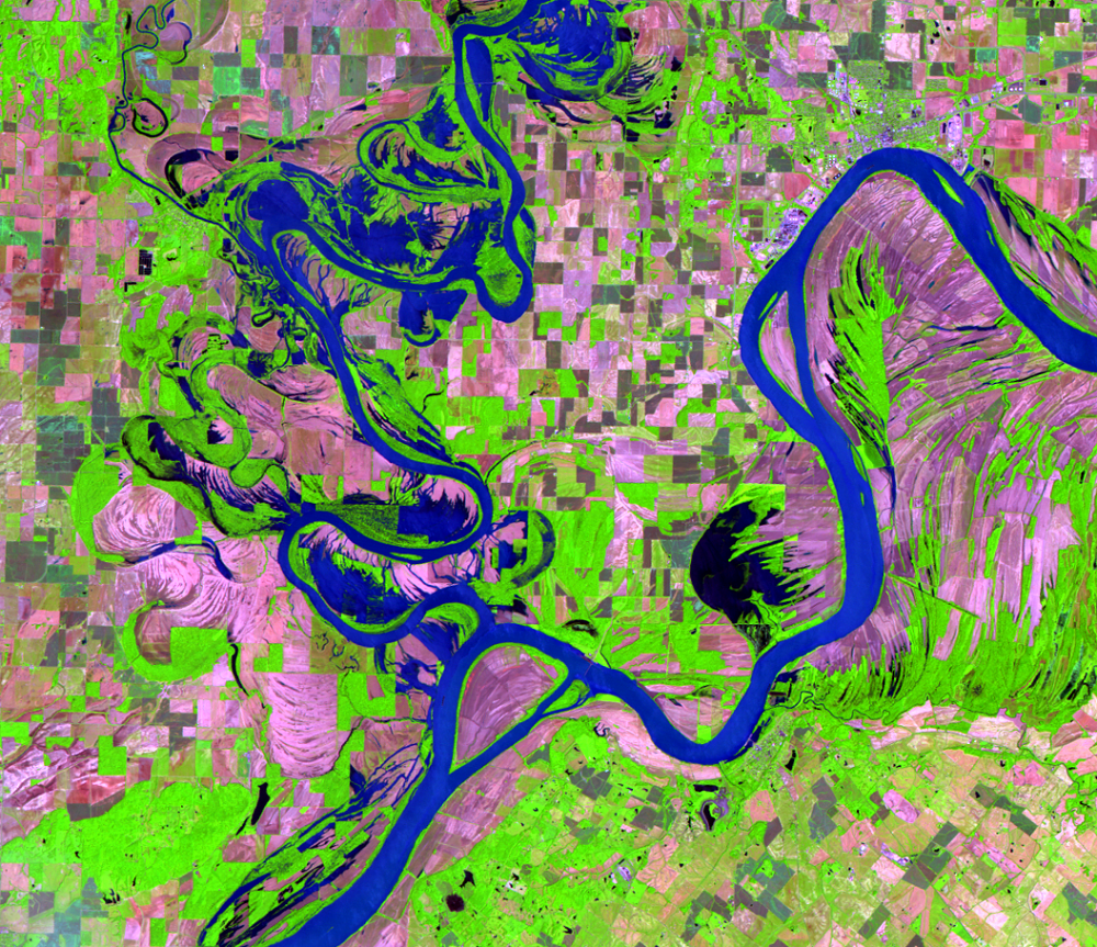
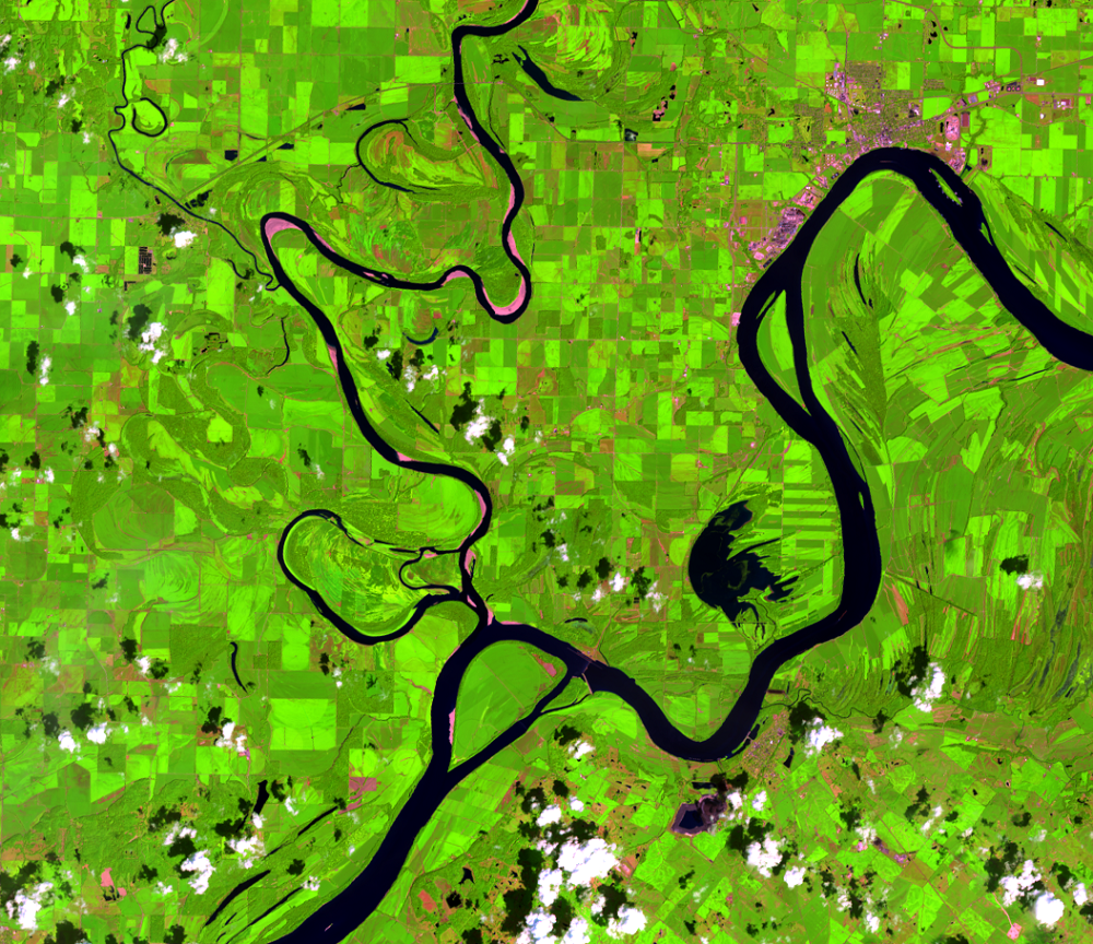
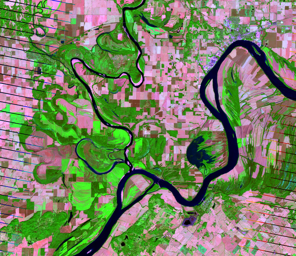
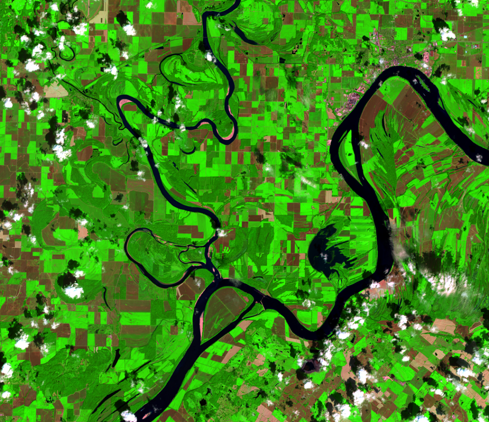
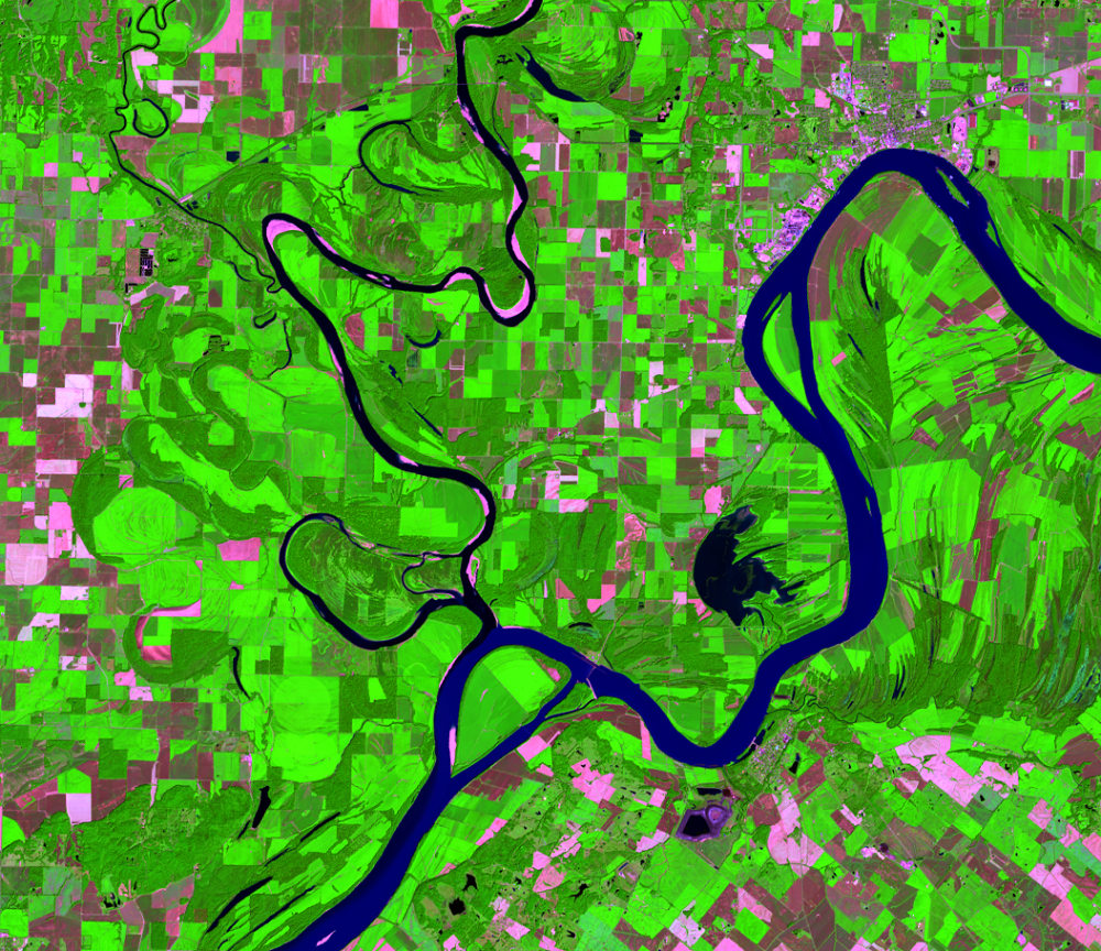
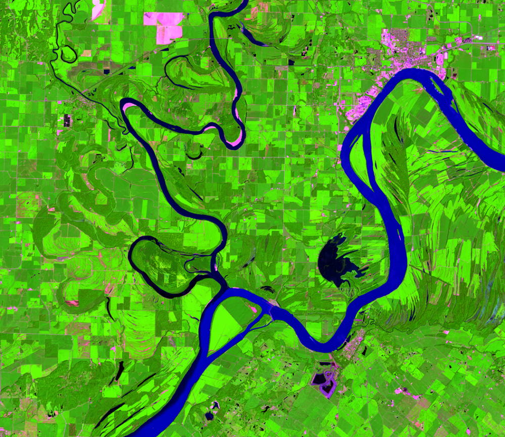
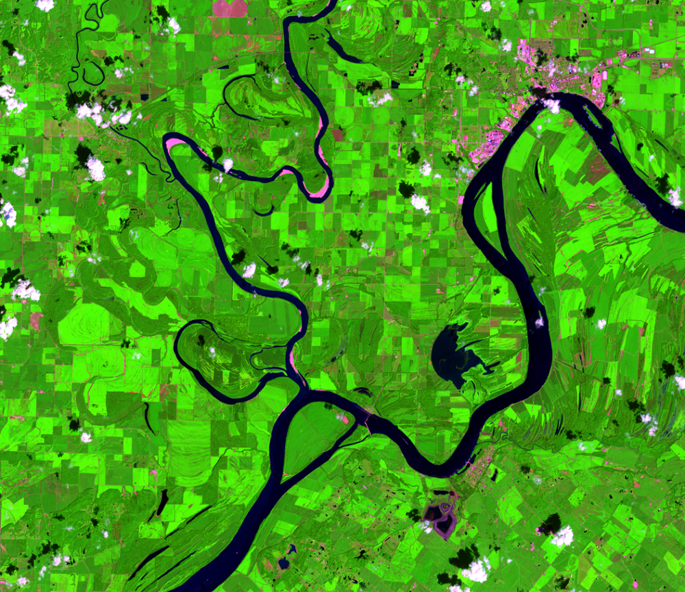
Floods are examples of short-term environmental change. They cause substantial damage and change for only a short time, such as a couple of weeks. The damage done to crops can last for an entire growing season, but in most cases, the landscape goes back to normal after the floodwaters recede. In some cases, however, a flood can cause more lasting change.
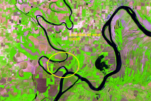
This flood changed the course of the Wabash River just above where it flows into the Ohio River. We have to go to a different Landsat image to see this happen, the one just south of the scene we’ve been examining. Images show a new cutoff that was formed from this flooding. About 2,200 acres of the land was rendered inaccessible by the new cutoff and shortened the river by about 7.5 miles.
Imagery
Every picture has a story to tell
Correlated
Additional story information
Downloads
Other Stories
Related imagery and additional content
A New Cutoff
Floods are examples of short-term environmental change. They cause sub...
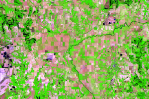
Eel River
Just west of Clay City, there is a large, nearly square-shaped area of...
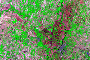
Lawrenceville and Vincennes
In this area at near Lawrenceville, Illinois, and Vincennes, Indiana, ...
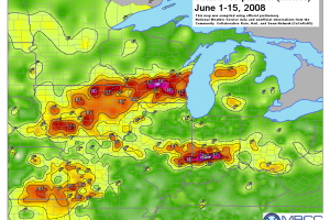
More about This Flood
The flooding that happened in summer 2008 in Indiana and Illinois star...
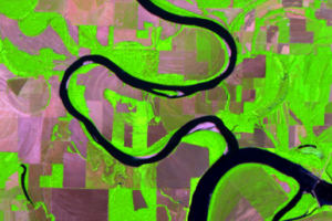
New Cutoff Close Up
Cutoffs are common on meandering rivers like the Wabash, but it’s rare...