

Other Vortices
Earth Resources Observation and Science (EROS) Center - Earthshots
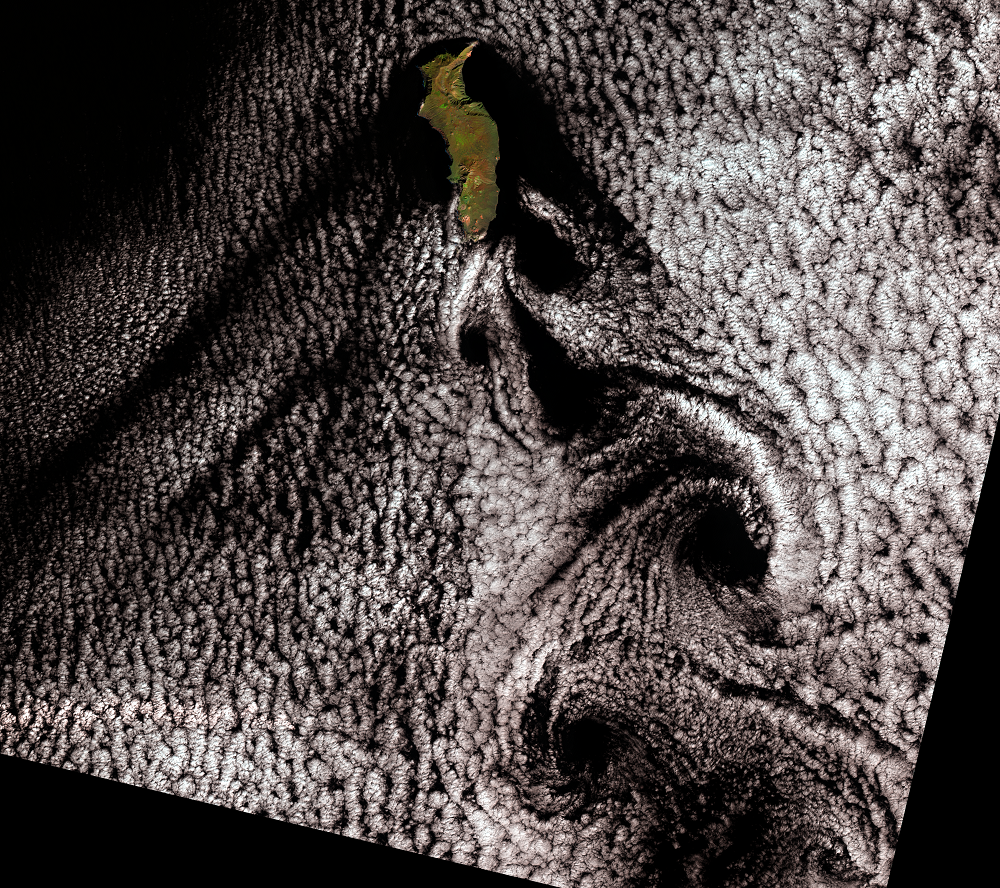
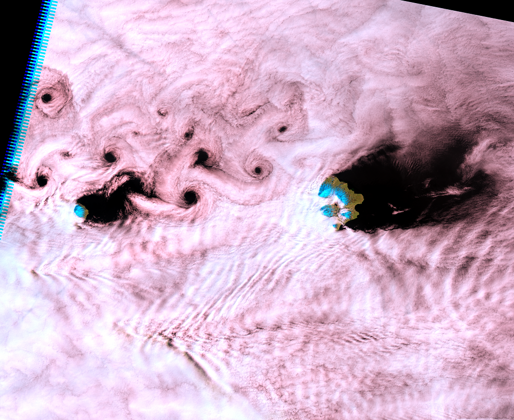
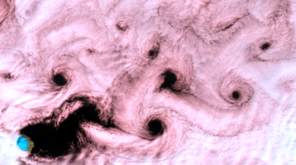
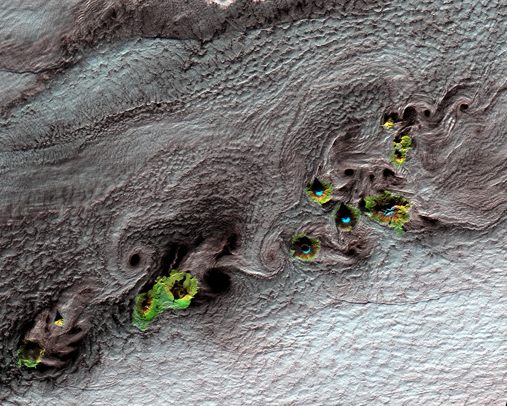
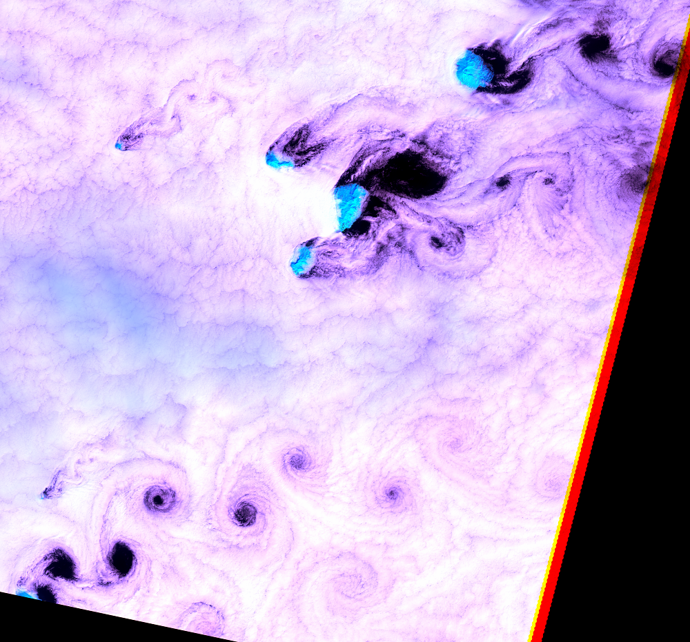
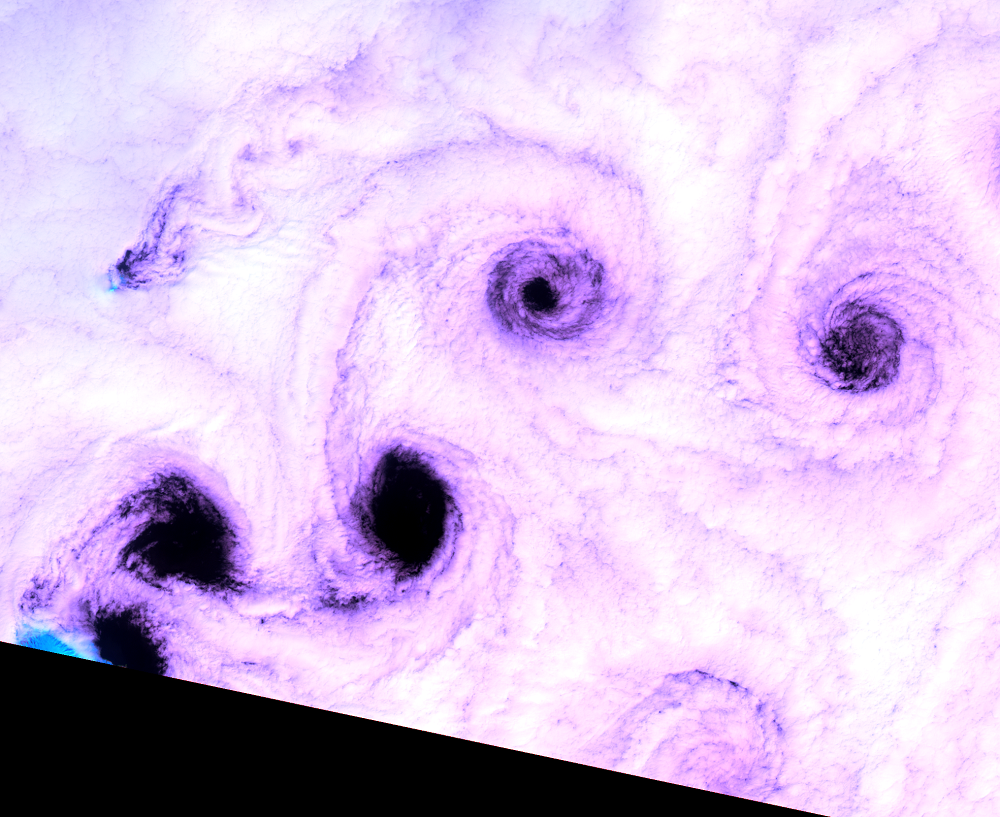
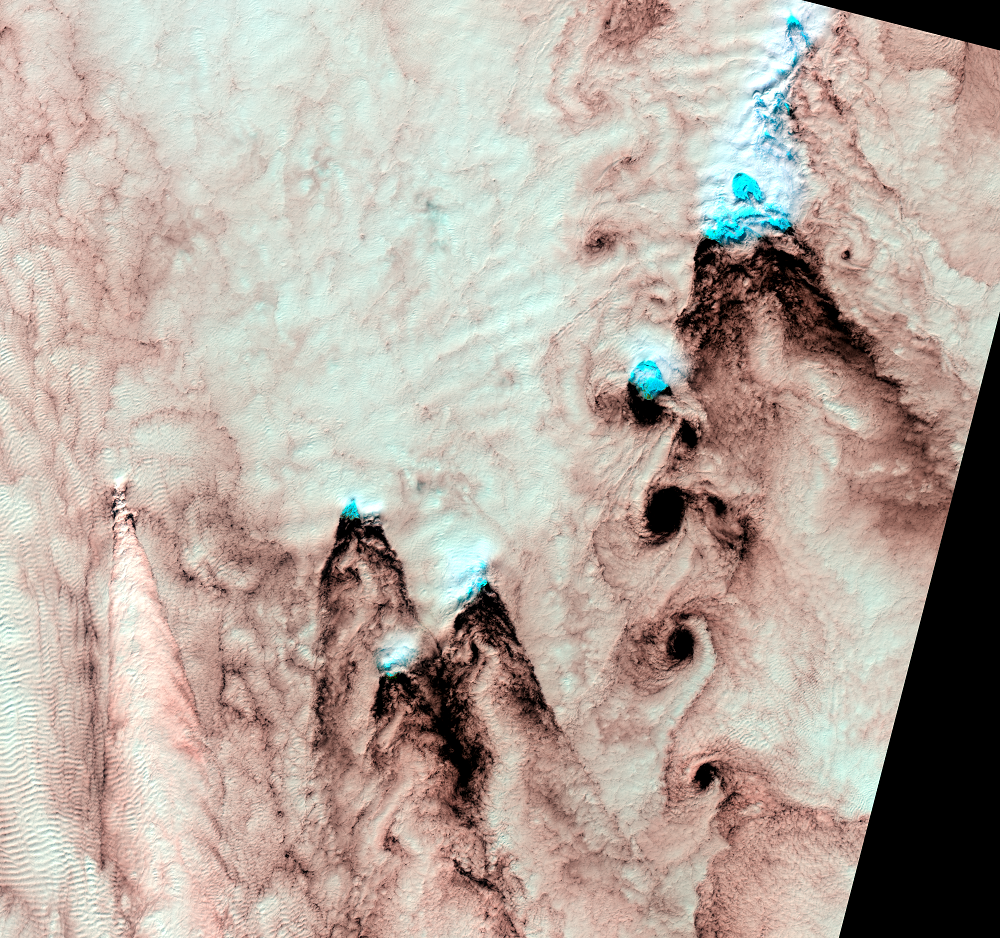
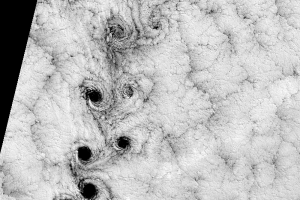
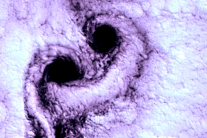
Selkirk Island is not the only place where Landsat has seen vortex streets. Other places where this phenomenon is common are nearby Robinson Crusoe Island; the Kuril Islands, Russia; Guadalupe Island, off the western coast of Mexico; and the Aleutian Islands, Alaska. The reason for the cloud patterns is the same: tall, steep-sided islands that affect the motion of passing clouds. That first image over Selkirk Island in September 1999, however, is still the clearest vortex street Landsat has recorded.
Imagery
Every picture has a story to tell
Correlated
Additional story information
Downloads
Other Stories
Related imagery and additional content
A Note on the Images
The Landsat images that are shown on Earthshots are combinations of th...
More Selkirk Cloudscapes
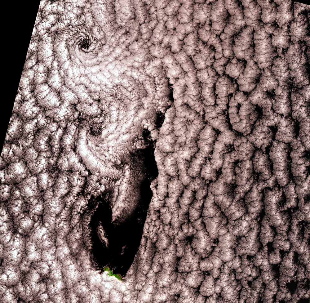
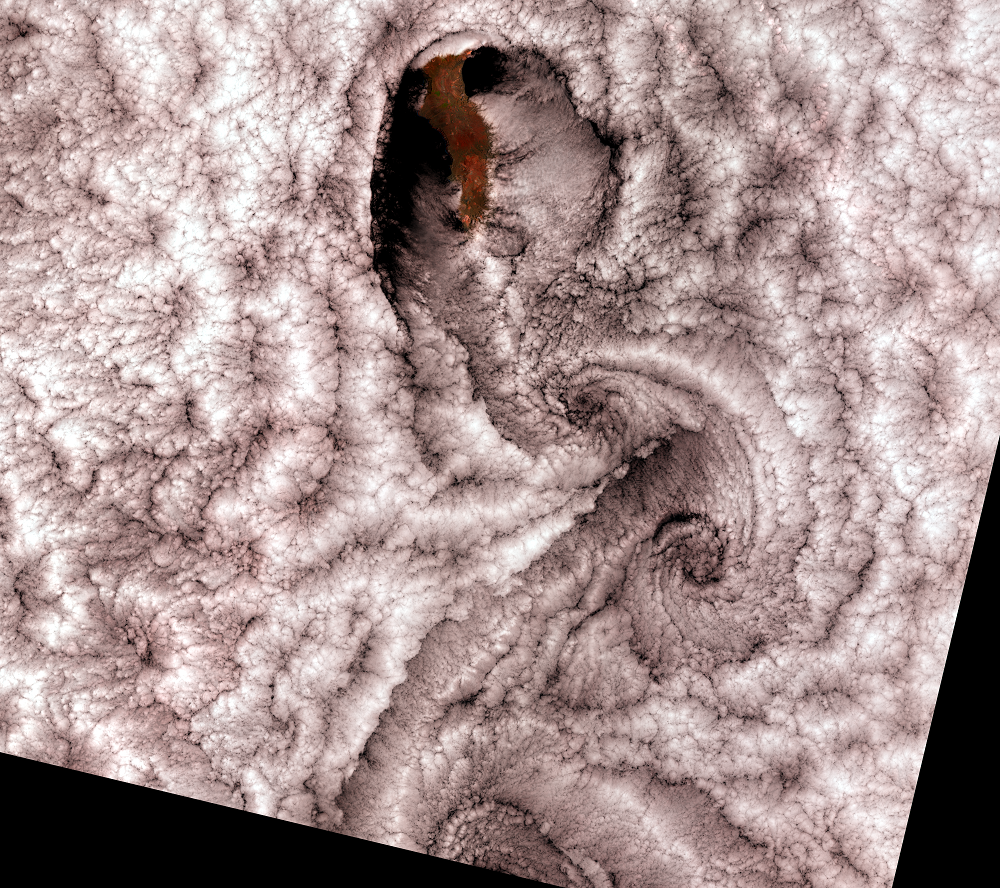
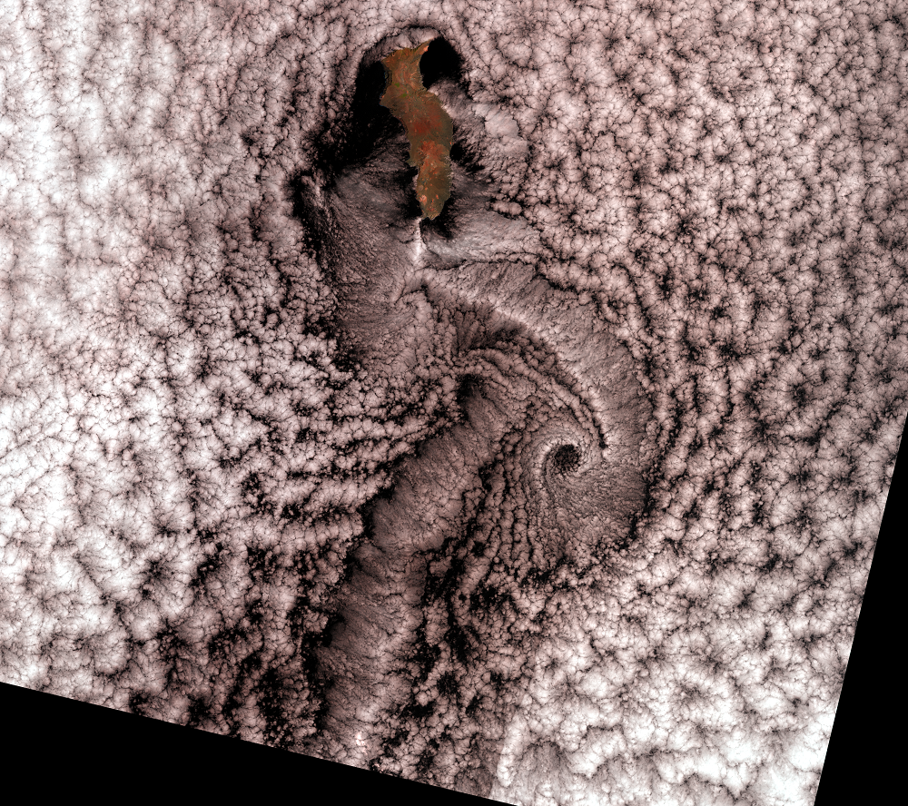
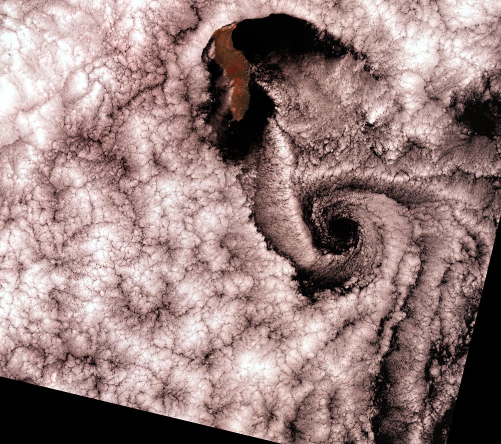
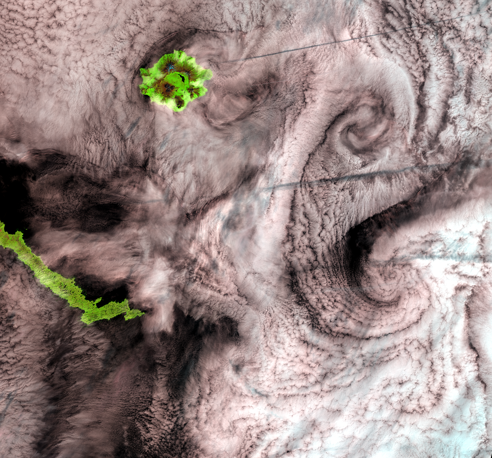
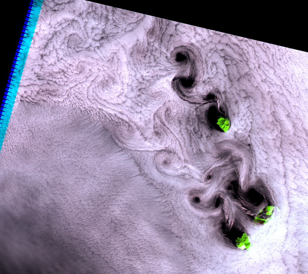
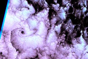
Since its launch in 1999, Landsat 7 has not again seen such nice vorti...
Other Vortices
Selkirk Island is not the only place where Landsat has seen vortex str...
Rare Clear Views
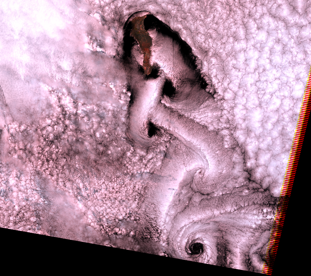
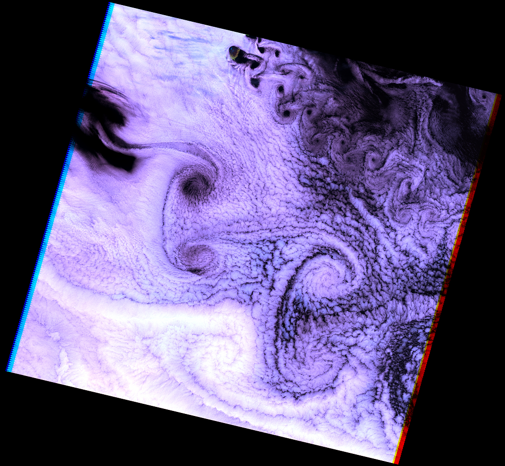
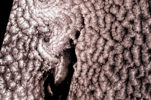
April 19, 2009, could have been a rare clear view of the island, but s...
Reflectivity of Water
Have you noticed that in these images, clouds look white but the ocean...