

Penrith Lakes
Earth Resources Observation and Science (EROS) Center - Earthshots
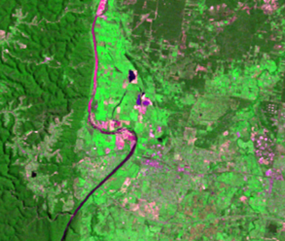
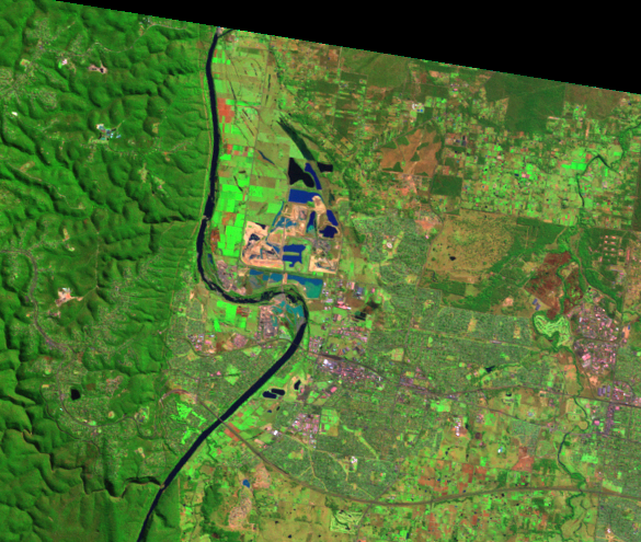
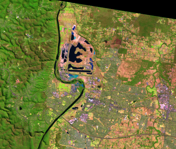
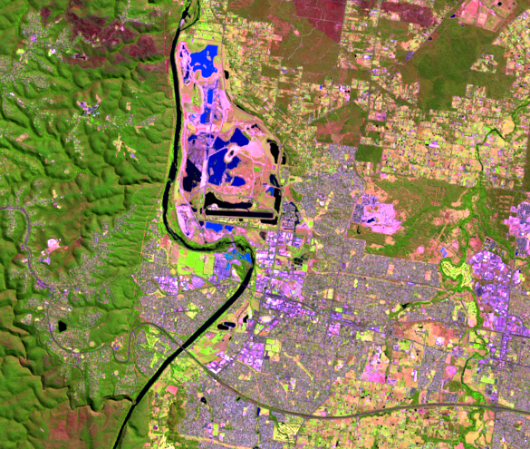
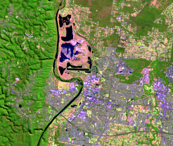
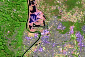
A feature west of Sydney changes shape and color throughout these four images, indicating constant change in that location. This area, which covers about 1,935 hectares, is the Penrith Lakes mining and reclamation project.
Located on the floodplain of the Nepean River, Penrith Lakes is the largest sand and gravel quarry in Australia. Eventually, quarrying activities will end and the entire site will be completely turned into parkland and lakes. Three main recreation lakes are planned, and the northern lake will be a wildlife sanctuary. During the first stage of the reclamation, the southern part of the area was turned into the kayaking and rowing venue for the 2000 Summer Olympic Games.
Imagery
Downloads
Related Content
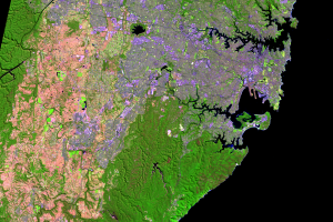
Sydney, Australia
Sydney, Australia, is a growing cosmopolitan city. Besides its recent ...
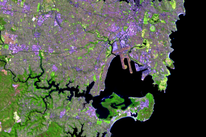
Botany Bay
The other major natural harbour on the south end of these images is Bo...
Harbours
Sydney Harbour defines the city and makes it recognizable worldwide. P...
Penrith Lakes
A feature west of Sydney changes shape and color throughout these four...
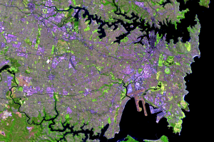
Western Side
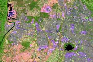
Urban growth in Sydney is seen on its western side. The light greens a...