

Plant and Wildlife
Earth Resources Observation and Science (EROS) Center - Earthshots
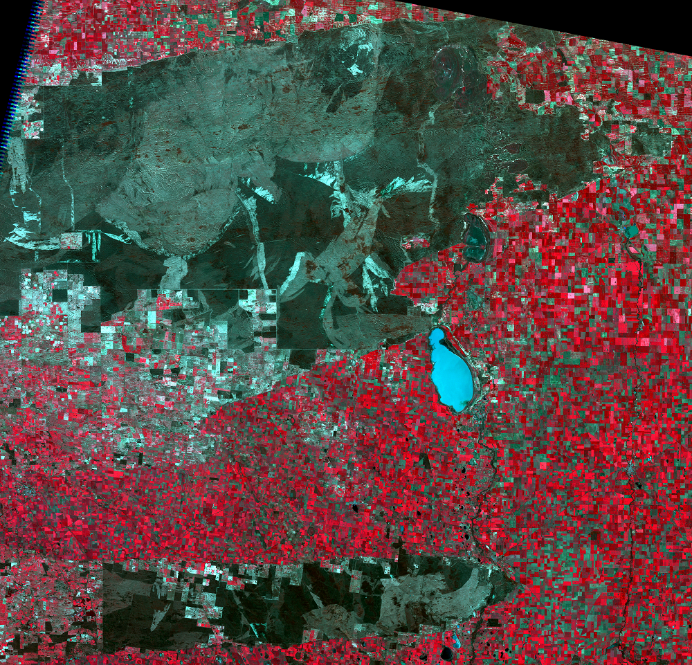
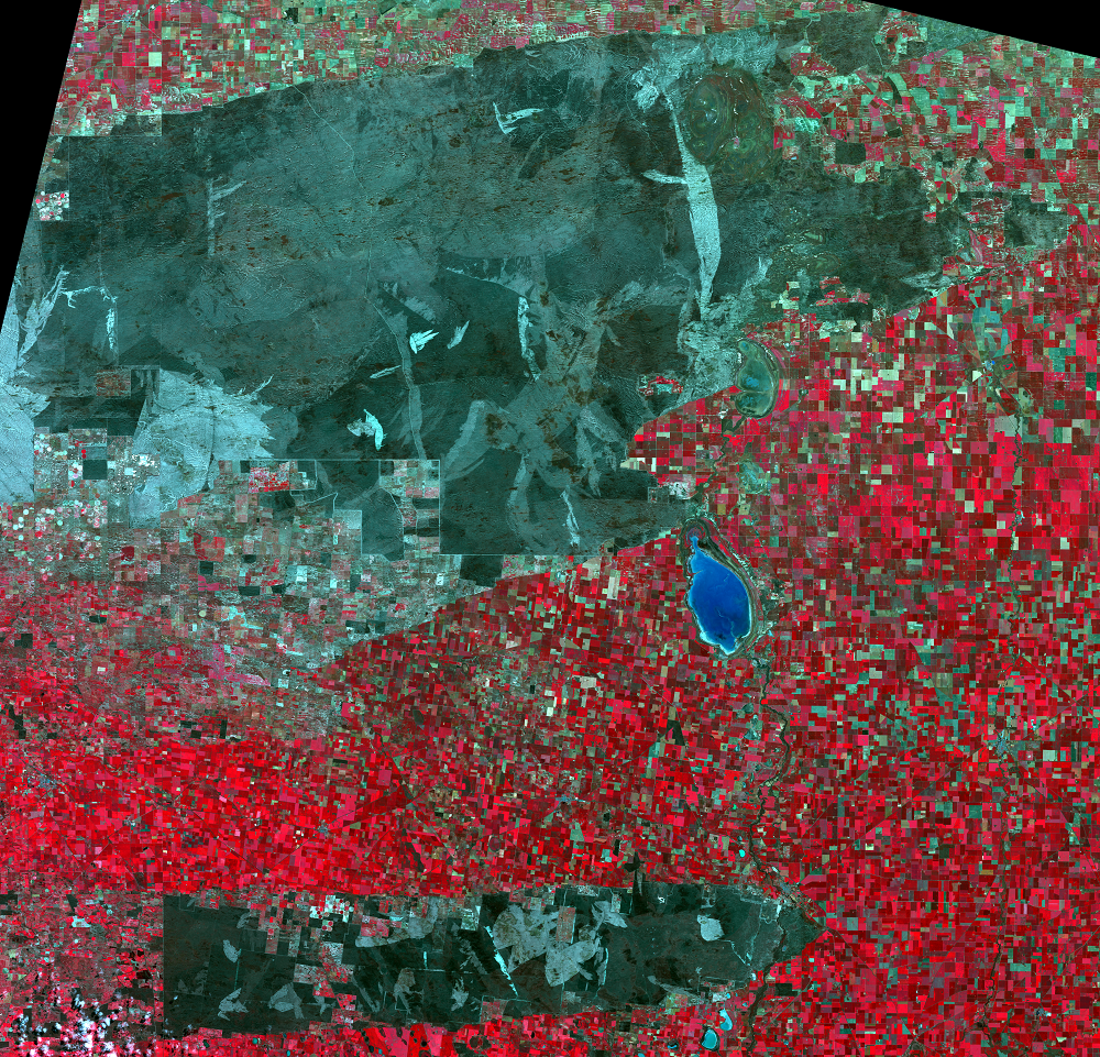
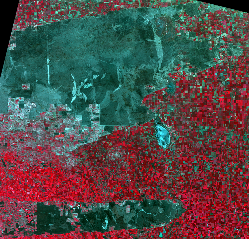
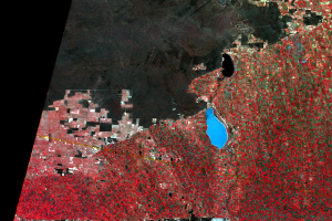
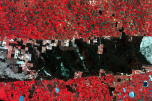
Wyperfeld National Park now covers 360,000 hectares, with its western half an official wilderness. The park is habitat for black-faced mallee kangaroo, desert hopping mice, 50 species of lizards and snakes, and 250 species of birds including parrots and eagles. Mallee fowl, a rare mound-nesting species almost extinct by the 1950s, also live in Wyperfeld’s vast shrubland.
Much of the park’s vegetation is mallee, a type of shrubland dominated by several sparse, tall varieties of eucalyptus. These eucalyptus have large underground tubers which sprout several stems after a fire, giving the mallee its distinctive look. The vegetation ranges in structure from short heath to tall, open woodlands but is commonly a thick, impenetrable scrub forest. Areas along the river are dominated by river red gum trees, which grow in the wetter soil there, and by black box trees, which grow in the slightly drier soil. These trees act as a natural record of floods, since they germinate in wet soil. The park also has stone-forming fungi, whose rootlike feeding-threads cement the sandy soil particles into underground “stones” of up to 20 pounds. These stones incorporate black rings of ash, forming a natural archive of fires.
Imagery
Every picture has a story to tell
Correlated
Additional story information
Downloads
Other Stories
Related imagery and additional content
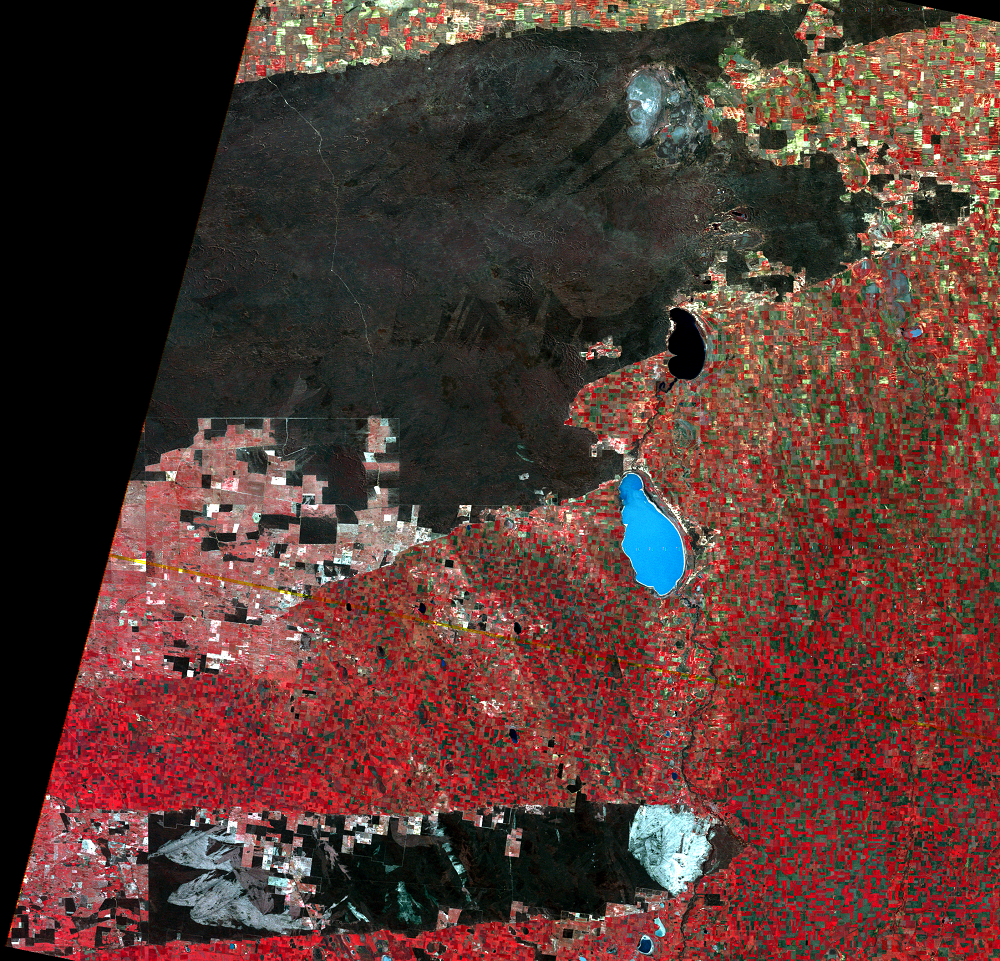
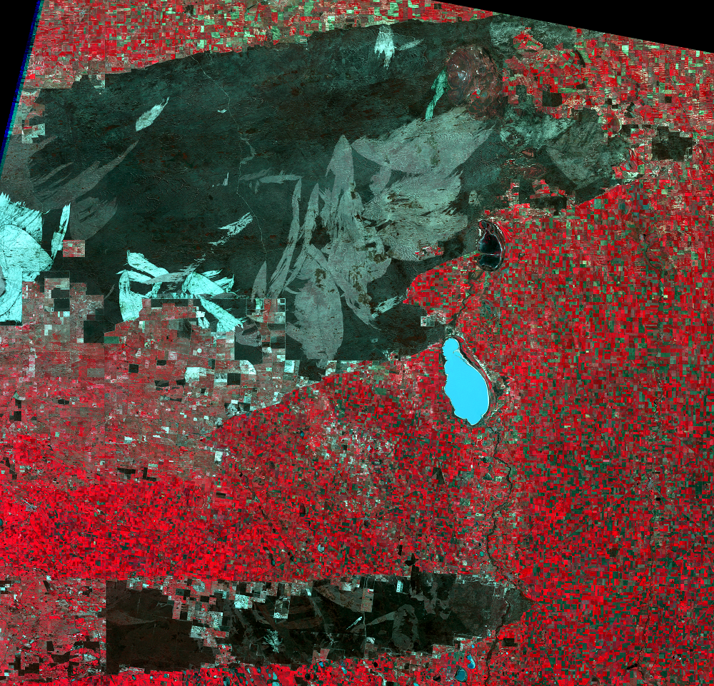
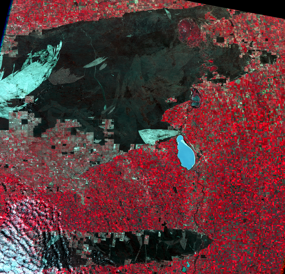
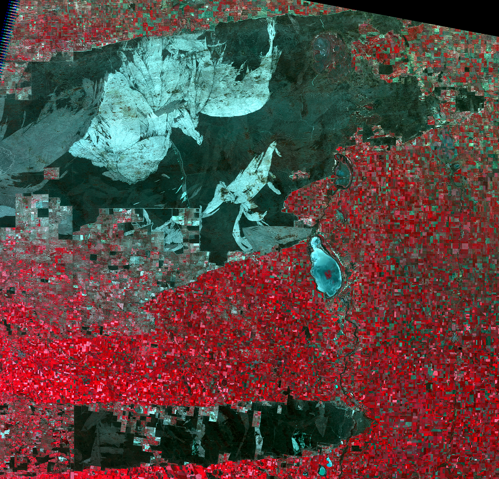
Fires in the Park
Southeast Australia has a history of severe fire problems, with some h...
Plant and Wildlife
Wyperfeld National Park now covers 360,000 hectares, with its western ...
The "Little Desert"
By the late 1800s, some Australians were trying to preserve natural la...