

Process
Earth Resources Observation and Science (EROS) Center - Earthshots
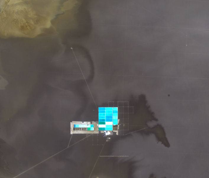
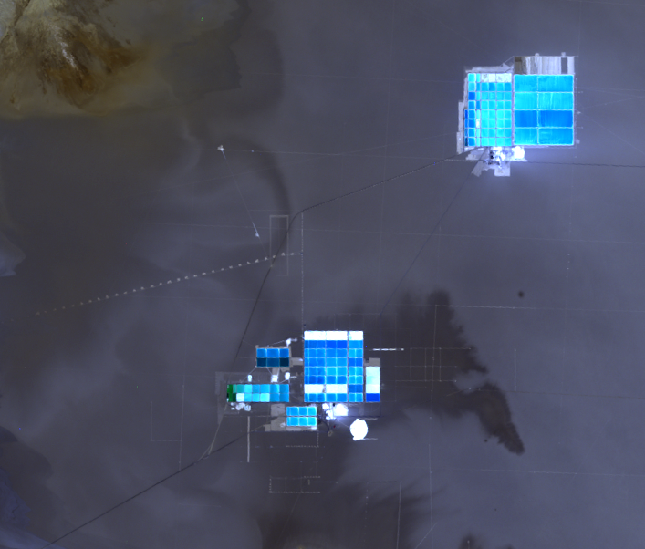
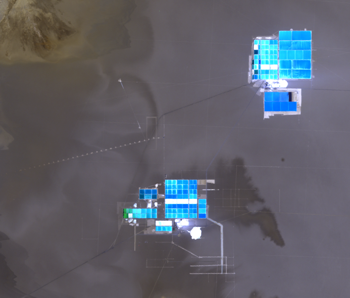
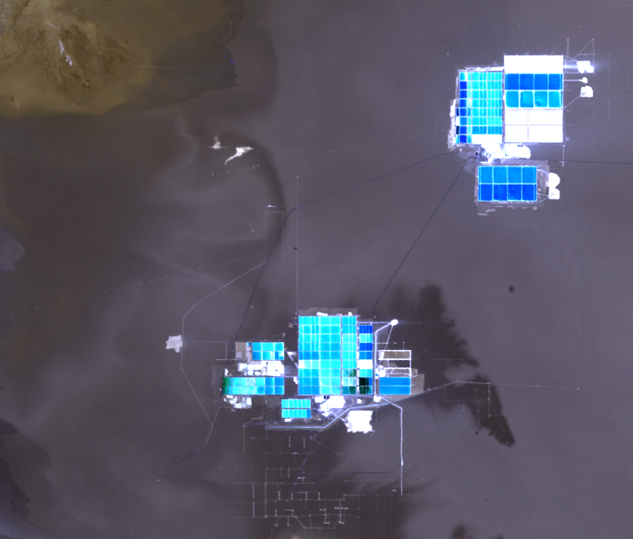
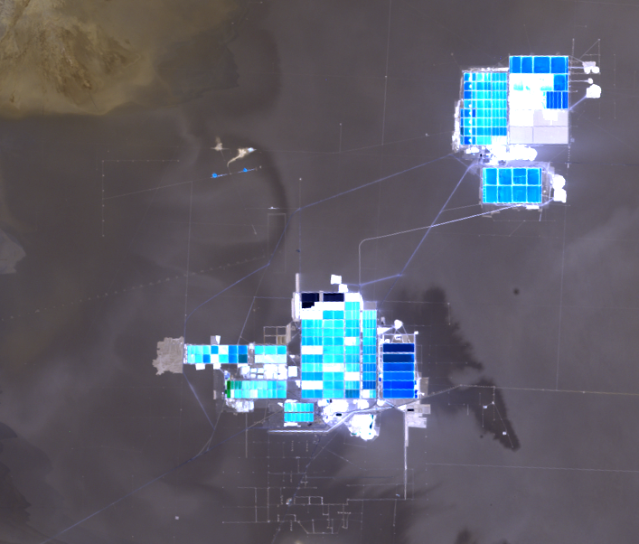
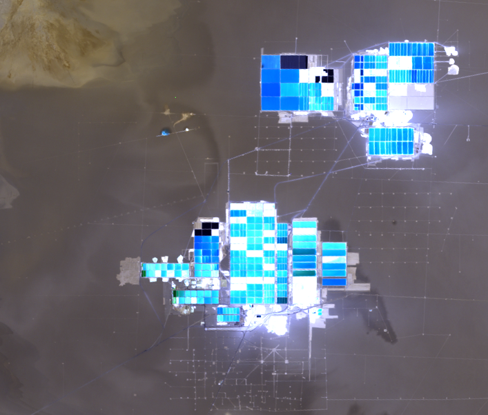
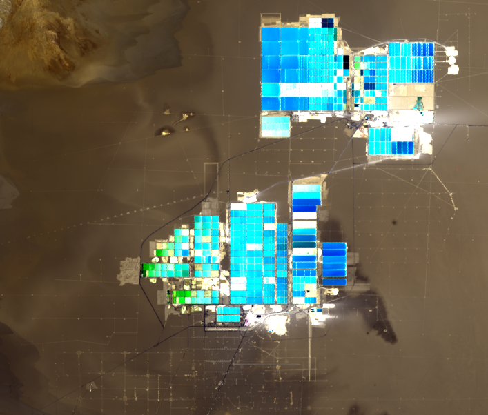
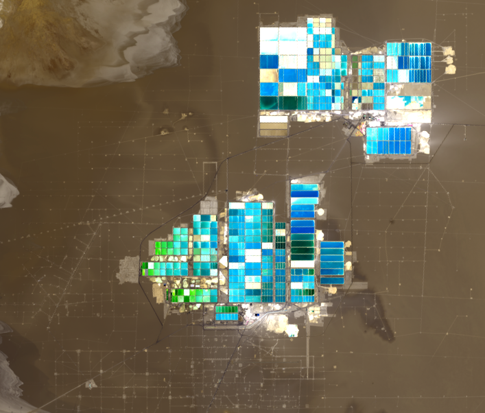
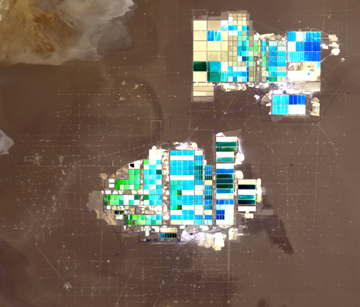
The brine, which at first looks like dirty slush, is pumped to the surface and sent via canals to several evaporation ponds. The dry, windy climate makes for efficient evaporation and leaves behind concentrated salts, from which lithium can be extracted.
The ponds, which are about 10 feet deep, vary in color in the images because of varying amounts of salts in the water. The brighter ponds contain more concentrated salts. The deep blue ponds indicate more water content.
The lithium is reduced to a concentrate and then shipped by tanker truck to a refinery on the coast in Salar del Carmen. From there, it’s on to the rechargeable battery you depend on to power your smartphone.
Imagery
Every picture has a story to tell

Correlated
Additional story information
Downloads
Other Stories
Related imagery and additional content
Ponds
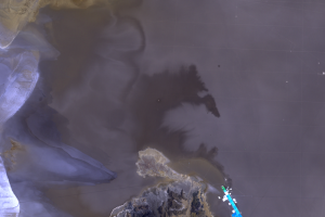
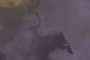
Some dry lakes have occasional inundations that partially dissolve the...
Process
The brine, which at first looks like dirty slush, is pumped to the sur...