

Randolph Air Force Base
Earth Resources Observation and Science (EROS) Center - Earthshots
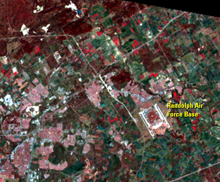
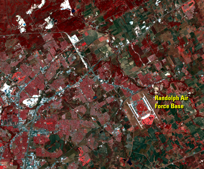
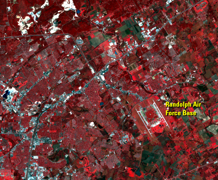
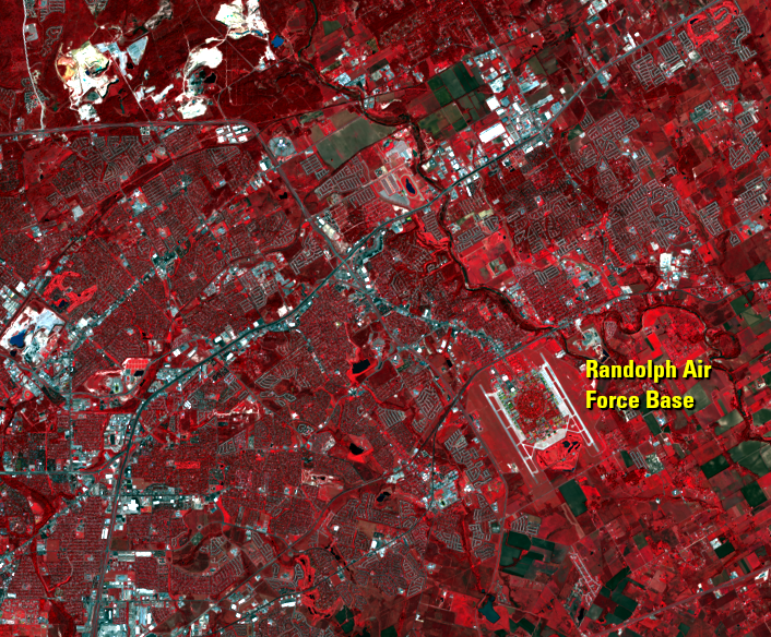
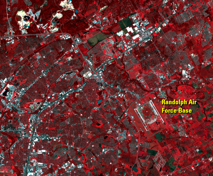
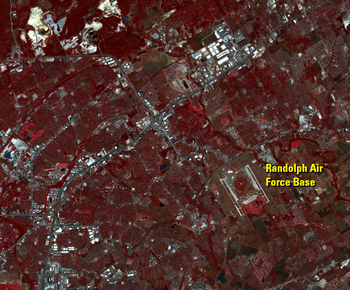
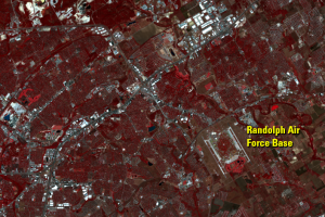
Randolph Air Force Base is visible as two white strips northeast of the city. The base’s streets were laid out in a series of concentric circles, with the runways along the east and west sides. This pattern can be seen in the series of Landsat images. Randolph Field was dedicated on June 20, 1930, so there is not much change to see to the base itself. What changes is the amount of residential buildup surrounding the base, development creeping in from the southwest and spilling over the north side of the base.
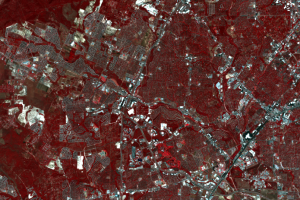
Street patterns in residential areas are clearer in some images than in others. As trees in these neighborhoods mature, they begin to cover the streets, so you will see this progression in these images.
Imagery
Downloads
Related Content
San Antonio, Texas, USA
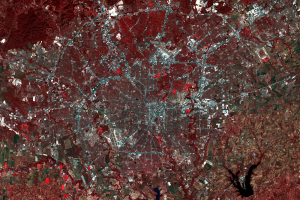
These images show the metropolitan area of San Antonio, Texas. Accordi...
Randolph Air Force Base
Randolph Air Force Base is visible as two white strips northeast of th...
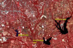
Reservoirs
Calaveras Lake and Victor Braunig Lake are artificial lakes that provi...
Westward Expansion
Pronounced urban/suburban expansion is visible on the west edge of the...