

RBV's Problems
Earth Resources Observation and Science (EROS) Center - Earthshots
Because of RBV’s higher spatial resolution than MSS, glaciologists were able to use the RBV imagery for spotting more detail. “If you want to look at the ice front, you want to get as sharp a picture as you can,” John Dwyer, Chief of the EROS Science and Applications Branch, said. “They could map crevasses and their displacement and movement over time and map the surface velocity. Once you straighten out the geometry of the image, the RBV can still be useful.”
Yes, the geometry of an RBV image had to be “straightened out.” It turns out there are a few problems inherent in the RBV data.
The RBV was more like a television camera than a sensor, but television pictures tended to distort the image. Researchers using satellite imagery want the image to resemble an accurate map. They expect straight lines for latitude and longitude, for example. RBV images, however, were more like maps printed on a rubber sheet. They were easily stretched out of shape, distorting those imaginary latitude and longitude lines. These distortions could be corrected, but that would have increased processing time and cost.
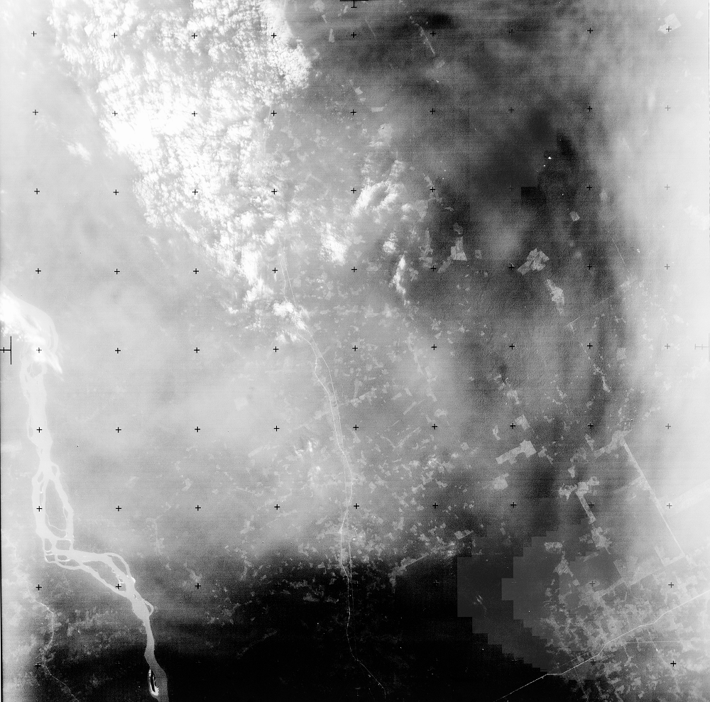
Furthermore, when imaging over Antarctica, RBV tended to go snow blind. Areas of high reflectance, like snow and ice, could be overexposed. Therefore, cloud cover and snow cover were easily confused.
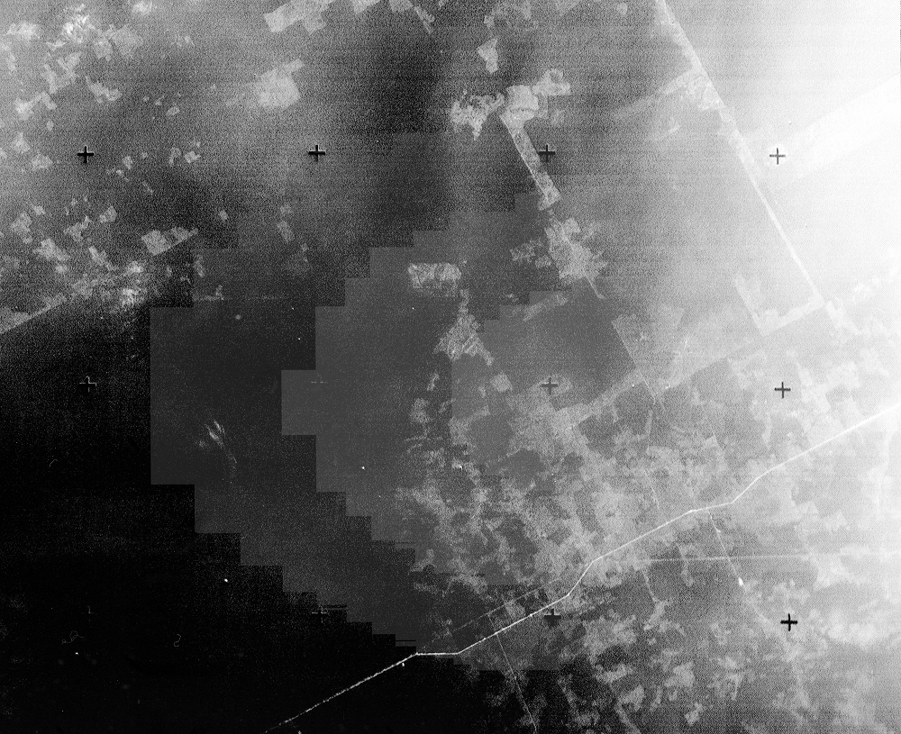
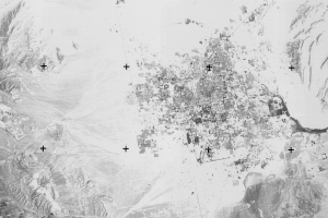
Because RBV’s main purpose was mapping the earth, the imagery included a reseau grid. No other Landsat sensors contain reseau marks. These plus signs on the images are used to correct distortions in the image after development or scanning. As John Faundeen, Archivist at EROS, put it, the reseau marks allowed you to “tie the imagery to the earth to verify the accuracy.”
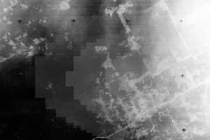
In all, there were officially 11 inherent problems with RBV data. Other problems include corners out of focus, occasional black vertical lines, and missing or distorted reseaus. These problems are detailed in a 1981 USGS Open-File Report.
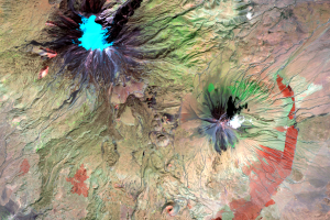
The RBV image shown in this section is in Brazil and shows a stairstep anomaly on the right side of the image. This stairstep phenomenon appears in several RBV images.
Imagery
Downloads
Related Content
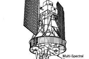
Landsat’s Return Beam Vidicon
A sensor on the early Landsats had a name worthy of some Star Trek gad...
Alaska
One of the factors that improves on Landsat sensors over the project’s...
Mt. Ararat
Despite its problems, RBV data has been used in land change studies. R...
RBV Data
Roughly 138,000 images were taken by the RBV on Landsat 3. The data we...
RBV's Beginnings
Landsat’s RBV had an inauspicious beginning. It rode into orbit on Lan...
RBV's Problems
Because of RBV’s higher spatial resolution than MSS, glaciologists wer...