

Re-greening
Earth Resources Observation and Science (EROS) Center - Earthshots
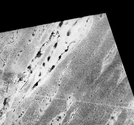
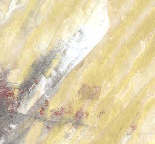
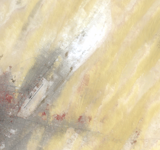
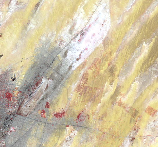
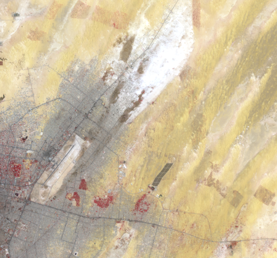
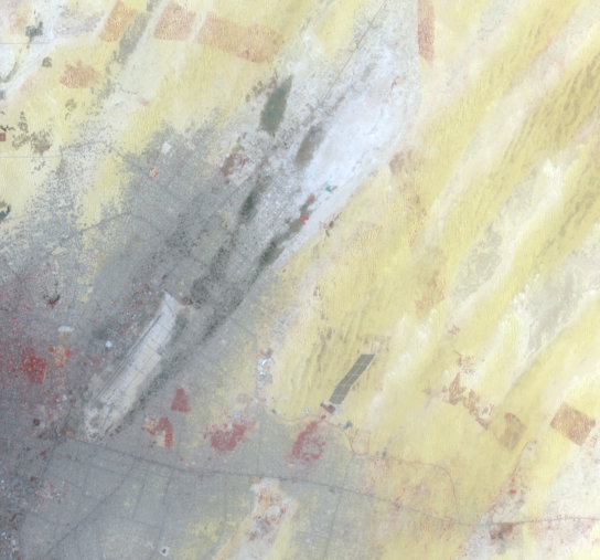
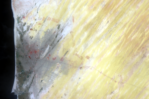
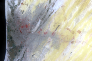
Nouakchott is surrounded by a succession of sand dune belts, some of which are highly mobile and can reach 20 m high.
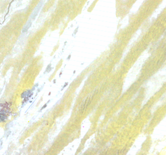
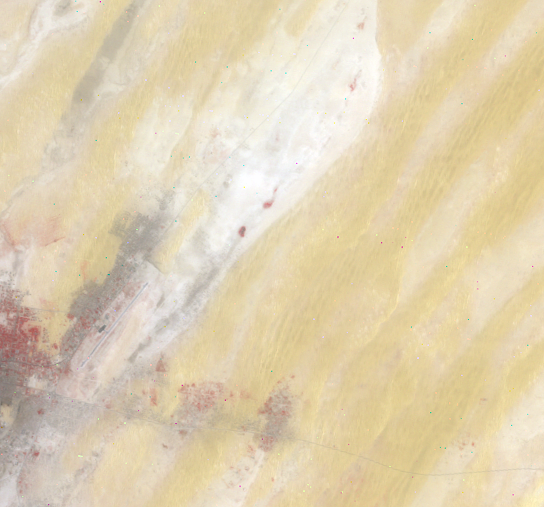
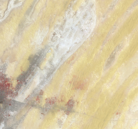
North and east of the city, a green belt was established between 1975 and 1990. Various trees and grasses were planted to curb sand encroachment. Evidence of this effort is seen in Landsat images, where the green belt actually appears red. Landsat’s ability to see various infrared wavelengths of light allows us to more easily differentiate actively growing vegetation from the urban areas and open desert. This vegetation appears red in these images because of Landsat’s near-infrared imaging capability, which reveals actively growing vegetation.
This green belt has changed recently because of the city’s expansion. From 2000–2007, a new project extended the plantings around the city. During this project, 800 ha of inland dunes were stabilized with various trees and grasses.
Imagery

Downloads
Related Content
Nouakchott, Mauritania
Not too long ago, Nouakchott, Mauritania, was a small fishing town. It...
City Growth
Nouakchott was a small fishing village for hundreds of years. As recen...
New Airport
Nouakchott’s airport is visible as the straight diagonal line near the...
Re-greening
Nouakchott is surrounded by a succession of sand dune belts, some of w...