

Reclamation
Earth Resources Observation and Science (EROS) Center - Earthshots
The mining companies are required to restore the disturbed land to be at least as productive as it was before it was mined. Overburden that was removed for surface mining is replaced on top of the sand and sediment layer. Mining companies must ensure the overburden is not contaminated during the storage period.
Native species are then planted, such as white spruce, aspen, dogwood, and blueberry.
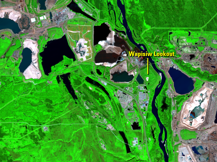
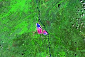
For example, a location called Wapisiw Lookout was a tailings pond from 1967 to 1997. The image series shows it later filled in by 2009, and then green by 2011.
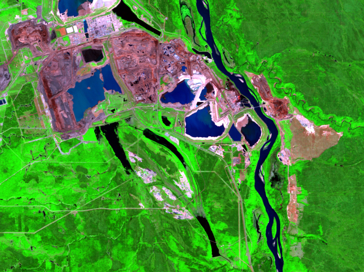
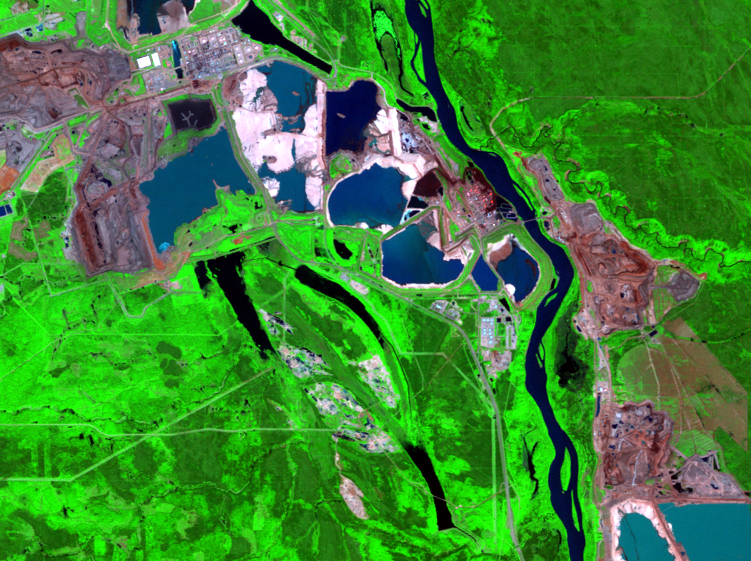
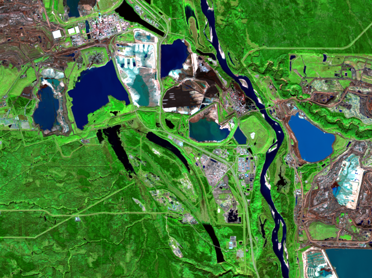
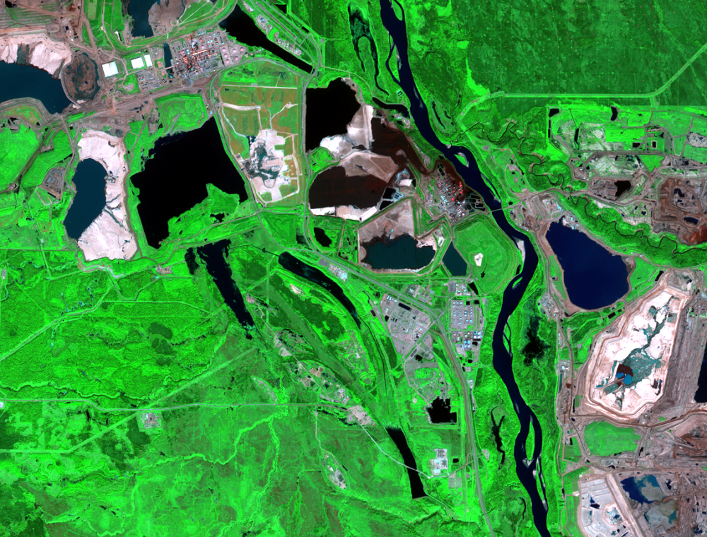
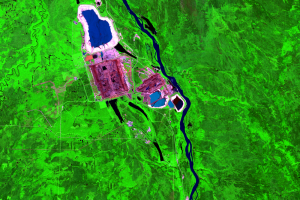
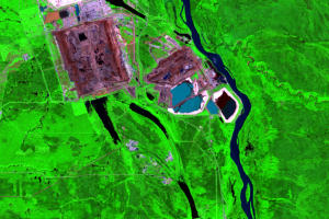
In the Sentinel-2 image provided for this series, the 20-meter resolution allows the bench pattern in the open pits to be visible.
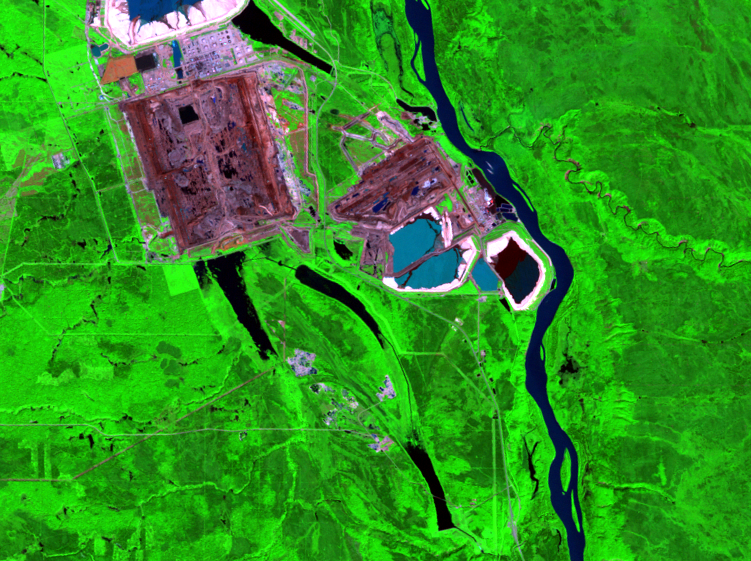
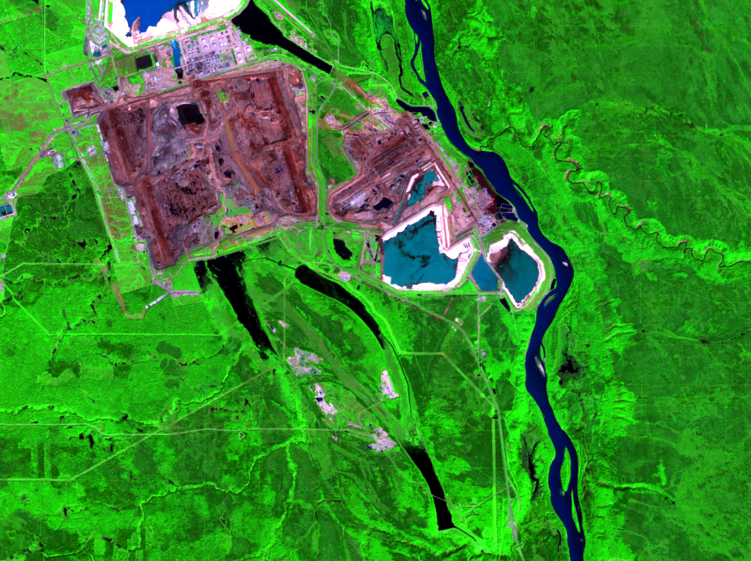
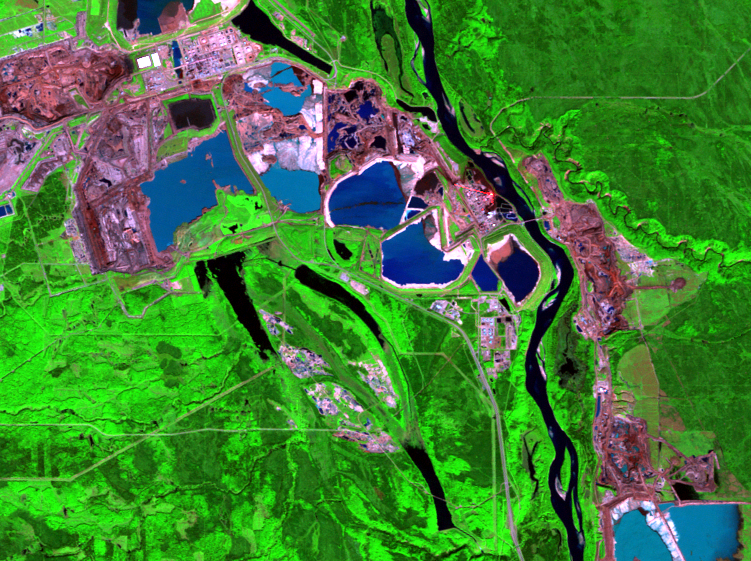
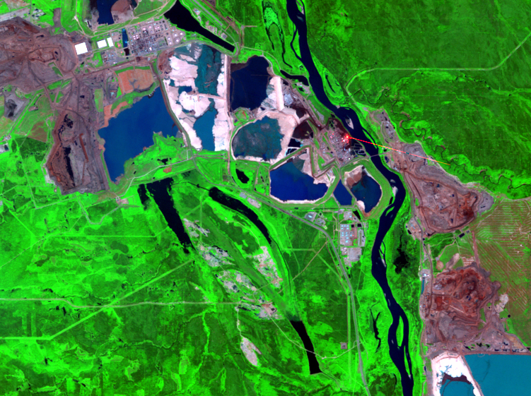
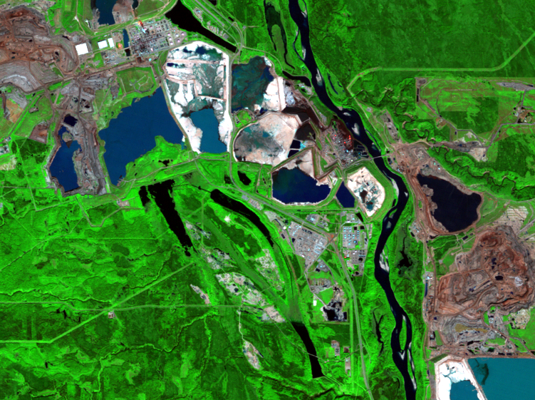
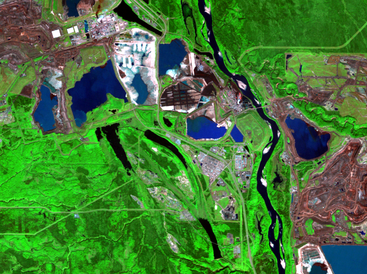
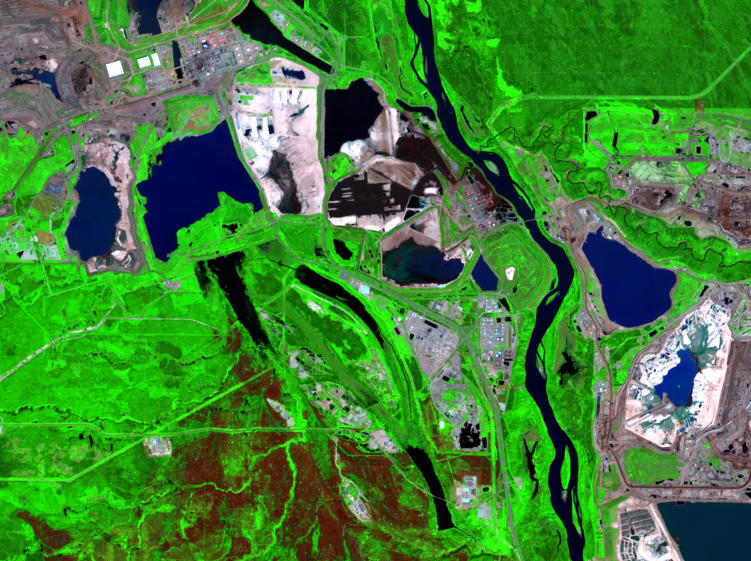
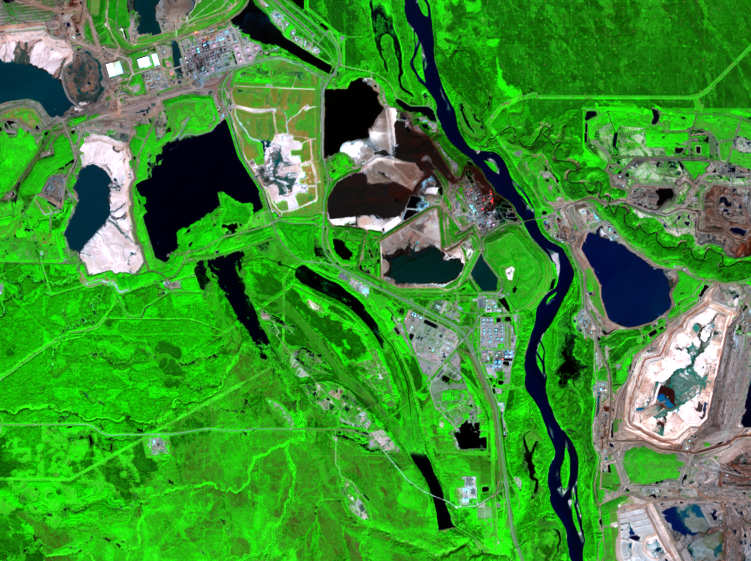
Data from satellites such as Landsat and Sentinel-2 continue to monitor the mining and reclamation of the Athabasca region. The frequent repeat cycle of these satellites—8 days for Landsat and 10 days for Sentinel—ensures that the land can be observed as it changes.
Imagery
Every picture has a story to tell
Correlated
Additional story information
Downloads
Other Stories
Related imagery and additional content
Bitumen
The oil type mined in the Athabasca oil sands region is bitumen. This ...
Fire
You might have noticed that fire scars of varying size show up in some...
In Situ Mining
To extract oil that is too deep for surface mining operations, in situ...
Mining Operations
Getting oil from oil sands is fairly straight-forward. But that doesn’...
Reclamation
The mining companies are required to restore the disturbed land to be ...