

Rosso, Mauritania
Earth Resources Observation and Science (EROS) Center - Earthshots
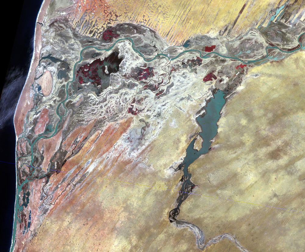
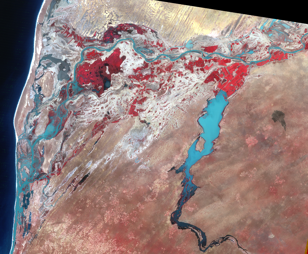
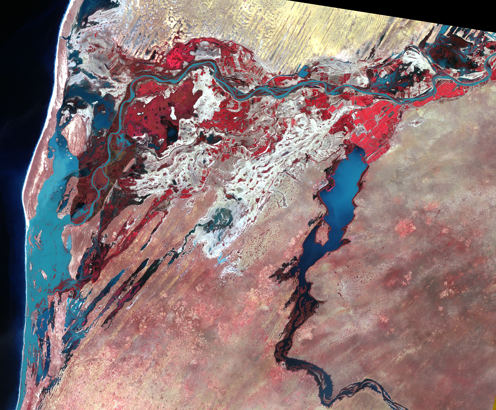
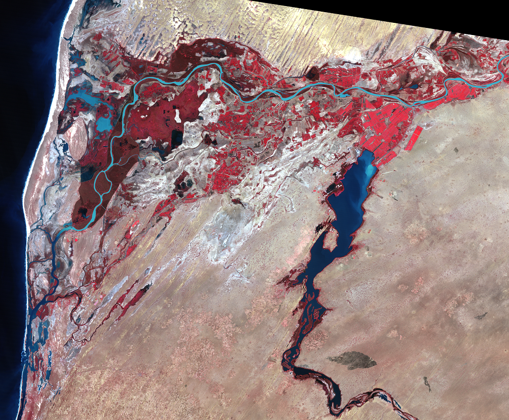
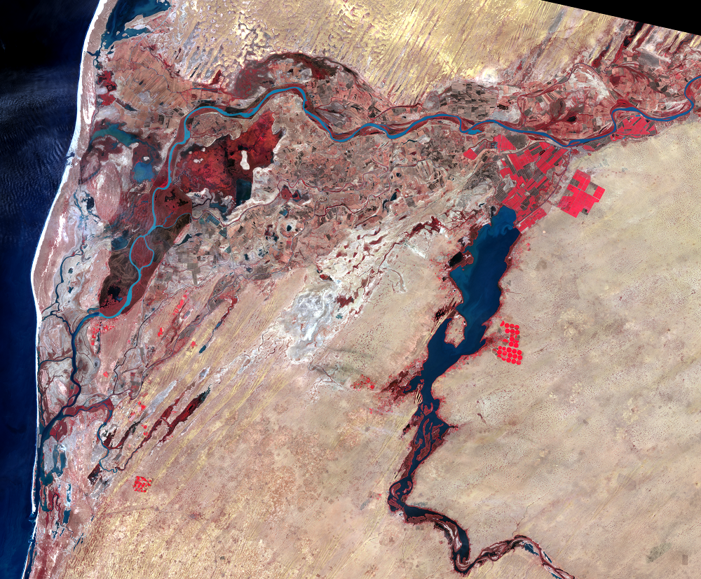
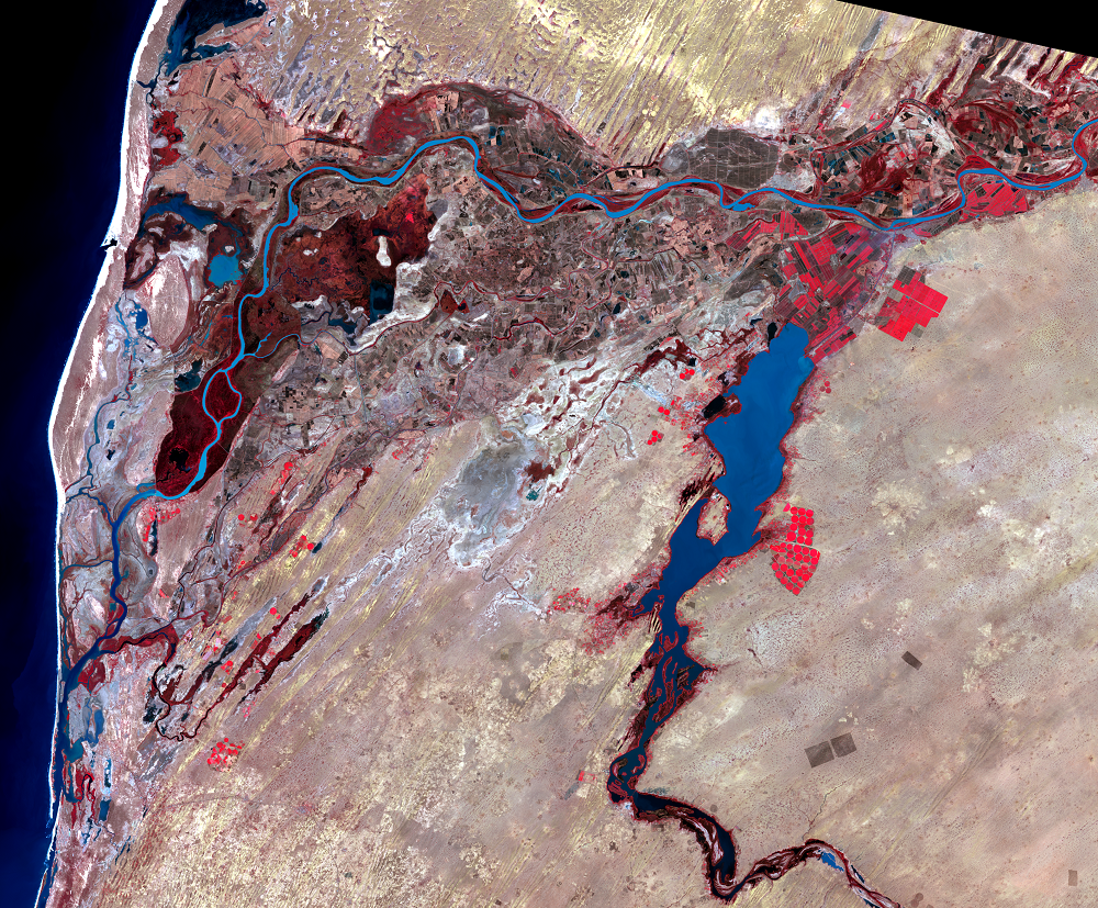
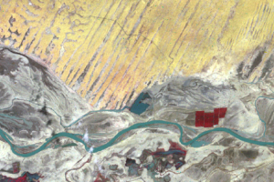
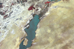
The border area of Mauritania and Senegal in westernmost Africa is an example of both expanding irrigation and desertification. The international border between Mauritania and Senegal is the Senegal River, flowing westward and interrupting the arid lands to the north and south. The regional capital of southwestern Mauritania is Rosso, which is on the north bank of the river, and the town of Richard Toll ("Richard's Field" in the Wolof language) is on the south bank. The effects of a highway, which connects the regional capital Rosso to the national capital Nouakchott, on the desert is seen in the close-up images.
Imagery
Every picture has a story to tell
Correlated
Additional story information
Downloads
Abderrahmane, M., 2011, Mauritania—fresh attempt at irrigated agriculture: Inter Press Service, available at http://www.ipsnews.net/2011/08/mauritania-fresh-attempt-at-irrigated-ag…. (Accessed September 18, 2012.)
Mainguet, M., 1994, Desertification—natural background and human mismanagement: Berlin, Springer-Verlag, 314 p.
Toupet, Charles, 1977, Atlas de la Republique Islamique de Mauritainie: Paris, Editions Jeune Afrique, 64 p.
United Nations Environment Programme, 1997, World atlas of desertification (2d ed.): London, Edward Arnold, 182 p.
United Nations Environment Programme, 2008, Mauritania, in Africa—Atlas of our changing environment: Nairobi, Kenya, United Nations Environment Programme, p. 236–241.
Gorse, J. E., and Steeds, D. R., 1987, Desertification in the Sahelian and Sudanian zones of west Africa: Washington, D.C., The World Bank, 62 p.
Other Stories
Related imagery and additional content
Desertification
The word desertification, if split into its roots, logically would mea...
Irrigation
There has been irrigation along the Senegal River in the Richard Toll,...