

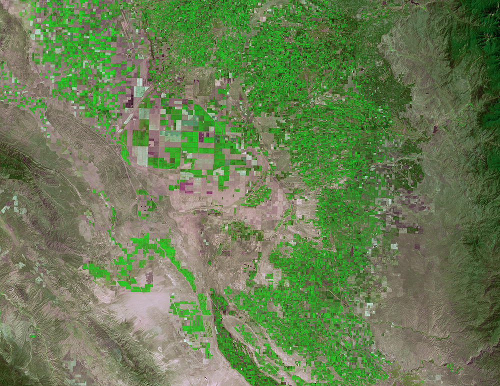
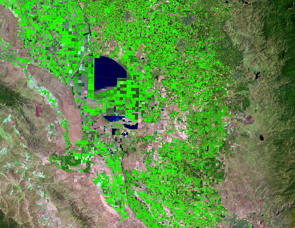
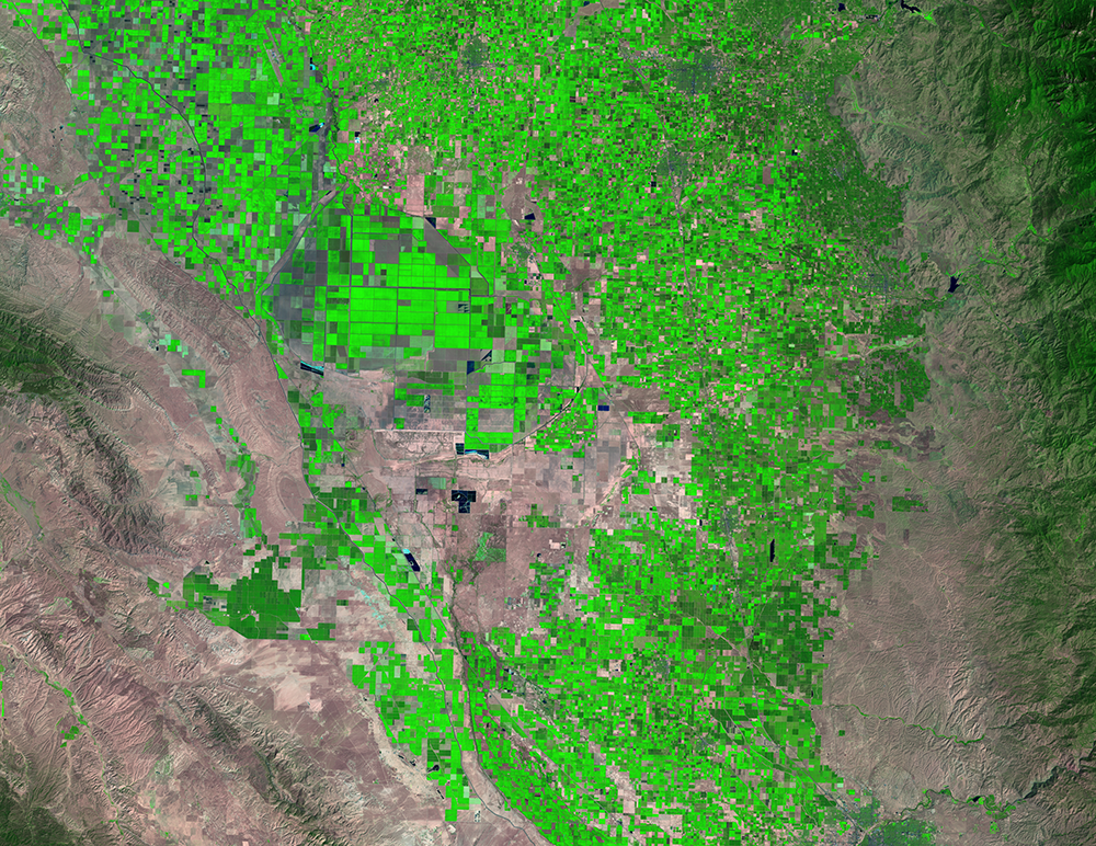
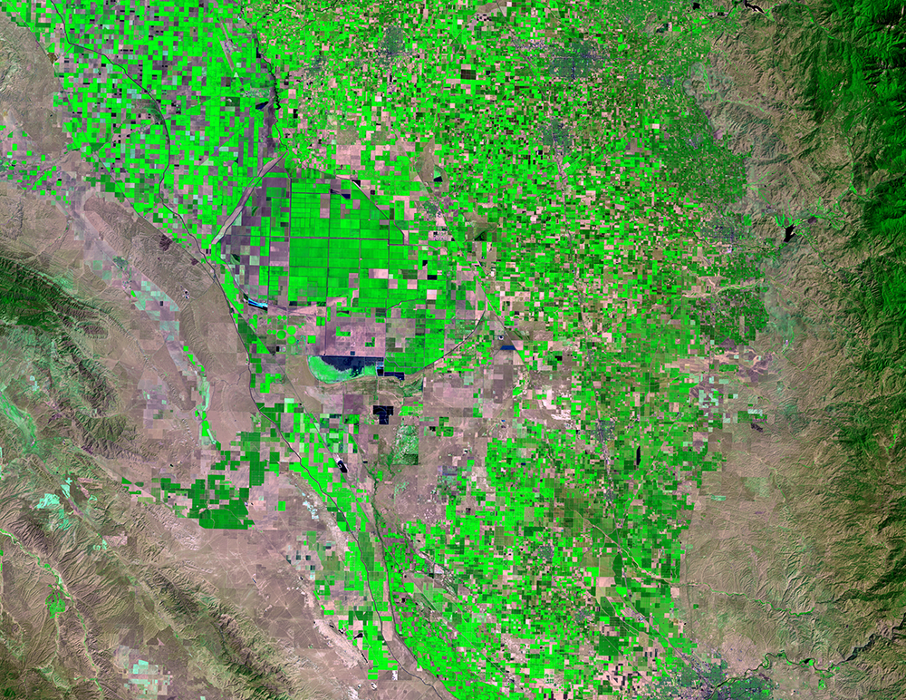
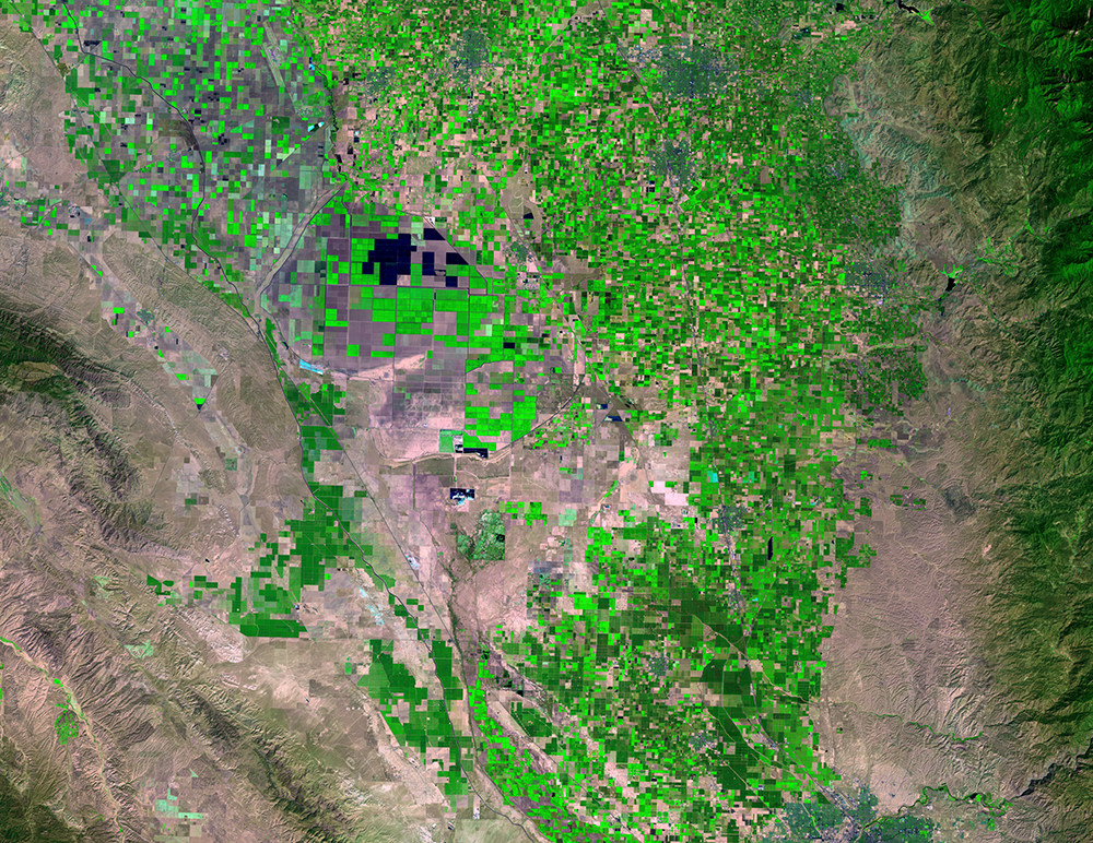
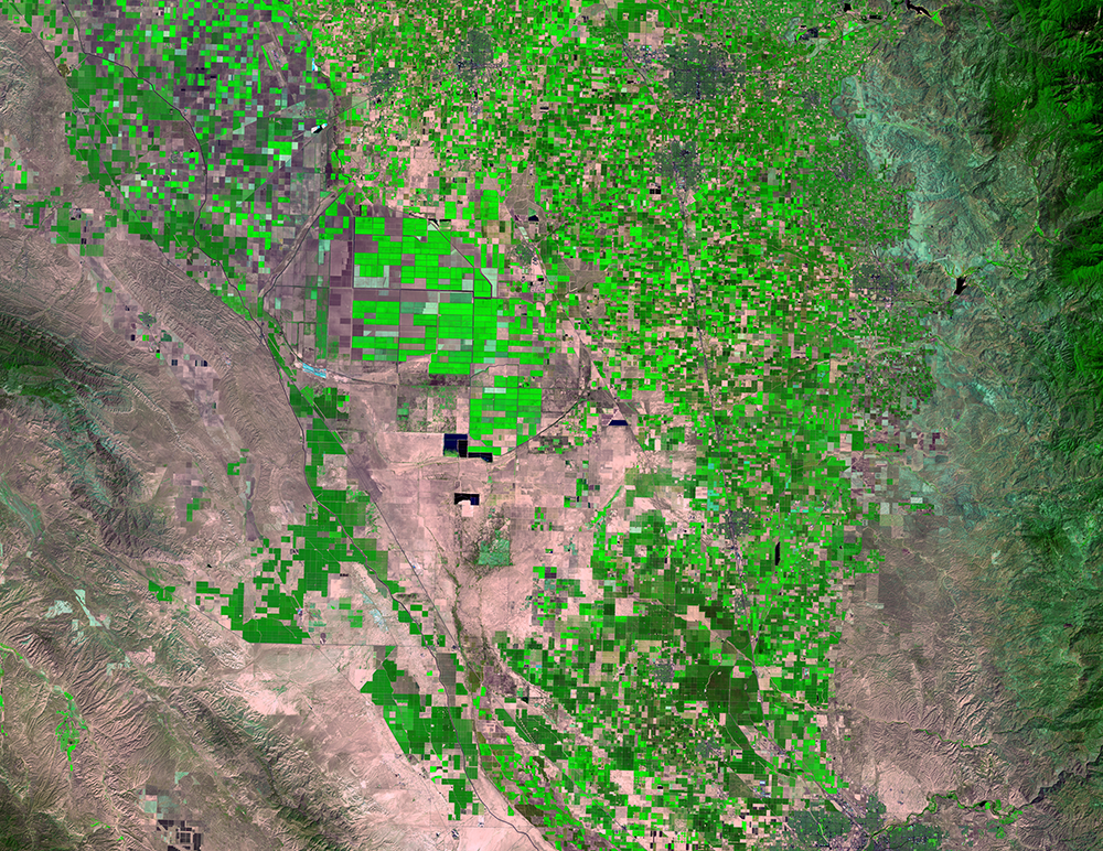
San Joaquin Valley, California, USA
Earth Resources Observation and Science (EROS) Center - Earthshots
Changes in land use, climate, and population demographics are placing unprecedented demands on water supplies in the United States. Add frequent droughts to that list, and mapping water use in the western United States is becoming increasingly important.
California’s San Joaquin Valley is one of the world’s most productive agricultural regions. Much of that productivity depends on the availability of water for irrigation. Recent prolonged droughts in California have underscored the importance of accurately monitoring changes and trends in water use in order to make well-informed water management decisions.
Landsat images show some change to the farmland in this valley over time. Not visible is exactly how much water was used to irrigate those crops. That’s where evapotranspiration (ET) comes into play.
ET is the combined effect of evaporation from the soil and transpiration from plants. ET is a major part of the hydrologic budget of a watershed. It varies with different climate, vegetation types, and land use.
With ET estimates derived from satellite data, scientists at EROS estimated how much water is being used to water crops. They used a computer model that incorporates Landsat imagery, including the Landsat 8 thermal band, along with climate data to estimate ET for every Landsat scene of the San Joaquin Valley from 1984 to 2014.
They then used the ET results along with precipitation and runoff data to create maps that show water use in the valley over that 31-year time period. The maps show seasonal crop water use in millimeters with enough detail to show individual fields and reveal which crops are using the most, or least, water.
Imagery
Downloads
Carle, D., 2015, Introduction to Water in California. University of California Press, 2015.
Fleskes, J.P., Skalos, D.A., and Farintha, M.A., 2013, Changes in Types and Area of Postharvest Flooded Fields Available to Waterbirds in Tulare Basin, California: Journal of Fish and Wildlife Management, v. 4, no. 2, p. 351–361.
Medellín-Azuara, J., and Howitt, R.E., 2013, Comparing Consumptive Agricultural Water Use in the Sacramento-San Joaquin Delta— A Proof of Concept Using Remote Sensing, Center for Watershed Sciences, University of California, Davis, 27p.
Senay, G.B., Friedrichs, M., Singh, R.K., and Velpuri, M.N., 2016, Evaluating Landsat 8 evapotranspiration for water use mapping in the Colorado River Basin: Remote Sensing of Environment, vol. 185, pp. 171–185. Accessed November 8, 2016, at http://dx.doi.org/10.1016/j.rse.2015.12.043.
Tulare Lake Basin Water Storage District, 2015, Agricultural Water Management Plan—November 2015 Plan Update: Tulare Lake Basin Water Storage District, 38p.
USGS, 2015, The Central Valley—Tulare Basin: USGS California Water Science Center, accessed on October 17, 2016, at http://ca.water.usgs.gov/projects/central-valley/tulare-basin.html.
USGS, 2016, Evapotranspiration—The Water Cycle: USGS Water Science School, accessed on October 17, 2016, at http://water.usgs.gov/edu/watercycleevapotranspiration.html.
USGS, 2016, Landsat Reveals Water Use Dynamics in the San Joaquin Valley: Image of the Week, accessed on October 17, 2016, at https://eros.usgs.gov/image-of-the-week/landsat-reveals-water-use-dynamics-san-joaquin-valley.
USGS, 2016, Mapping water use—Landsat and water resources in the United States: U.S. Geological Survey Fact Sheet 2016–3037, 2 p., http://dx.doi.org/10.3133/fs20163037.
Water Education Foundation, 2016, Tulare Lake Basin: Water Education Foundation, accessed on October 17, 2016, at http://www.watereducation.org/aquapedia/tulare-lake-basin.
Yang, Y., Anderson, M.C., Gao, F., Hain, C.R., Semmens, K.A., Kustas, W.P., Noormets, A., Wynne, R.H., Thomas, V.A., and Sun, G., 2016, Daily Landsat-scale evapotranspiration estimation over a forested landscape in North Carolina, USA using multi-satellite data fusion: Hydrology and Earth System Sciences, doi:10.5194/hess-2016-198.
Related Content
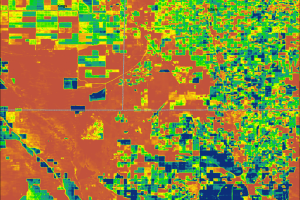
ET Maps
With these water use maps, land managers and farmers can tell which cr...
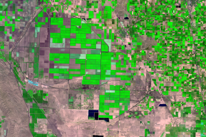
Tulare Basin
In the southern portion of the San Joaquin Valley is the Tulare Lake B...