

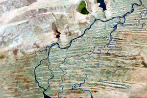
Seasonal Flooding
Earth Resources Observation and Science (EROS) Center - Earthshots
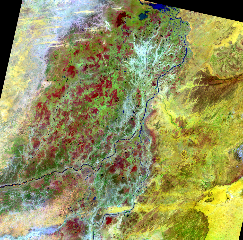
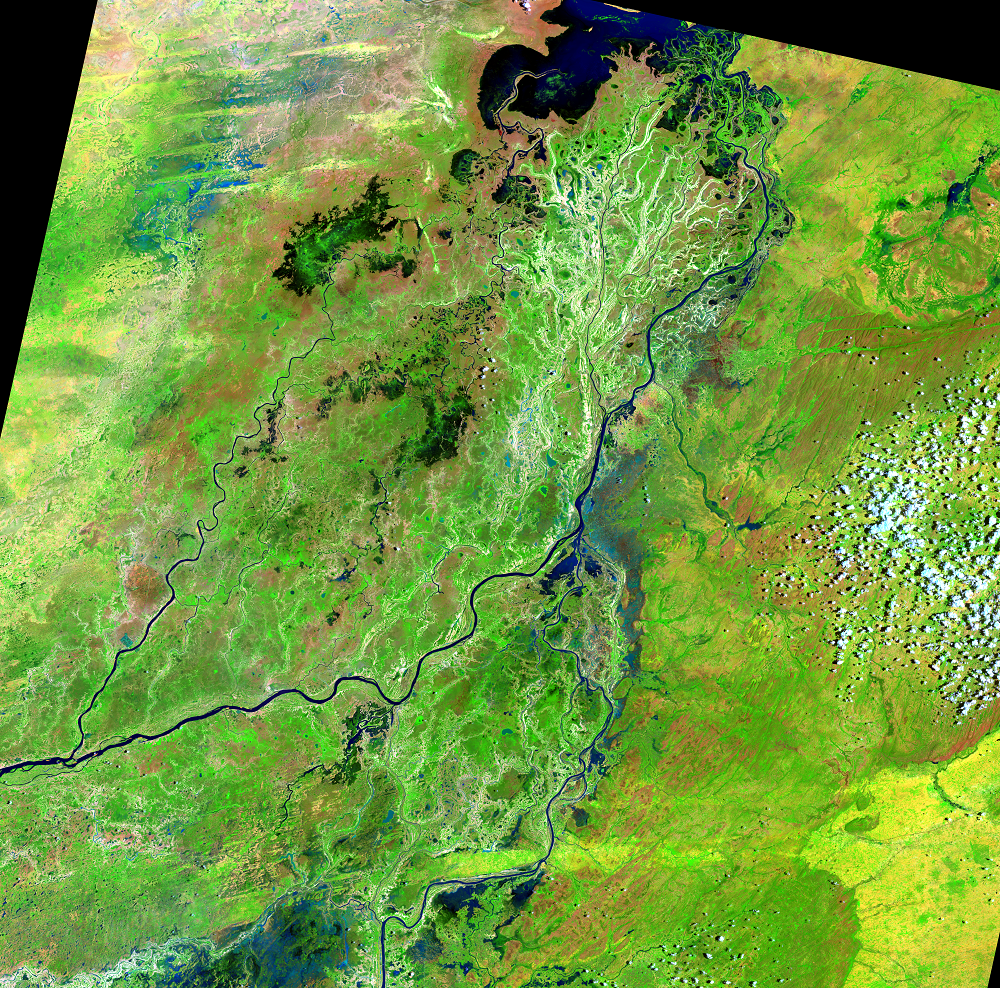
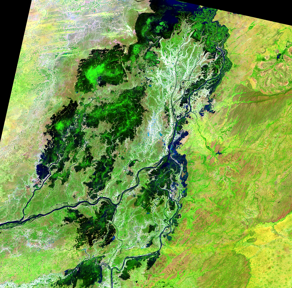
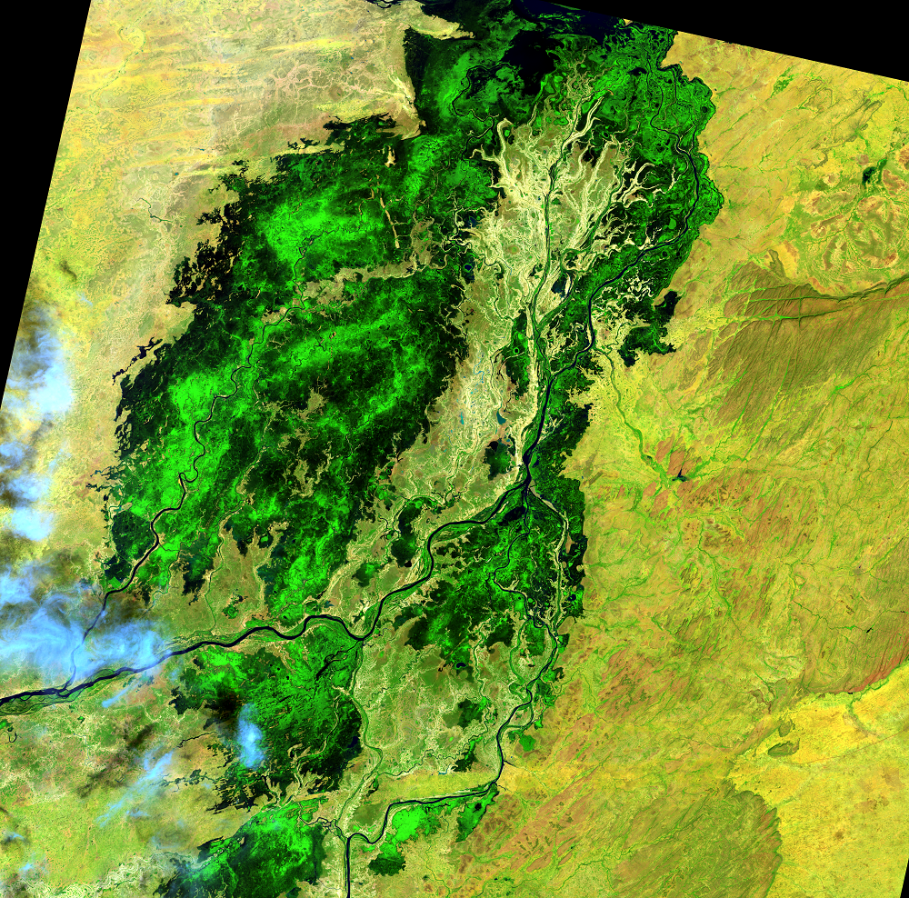
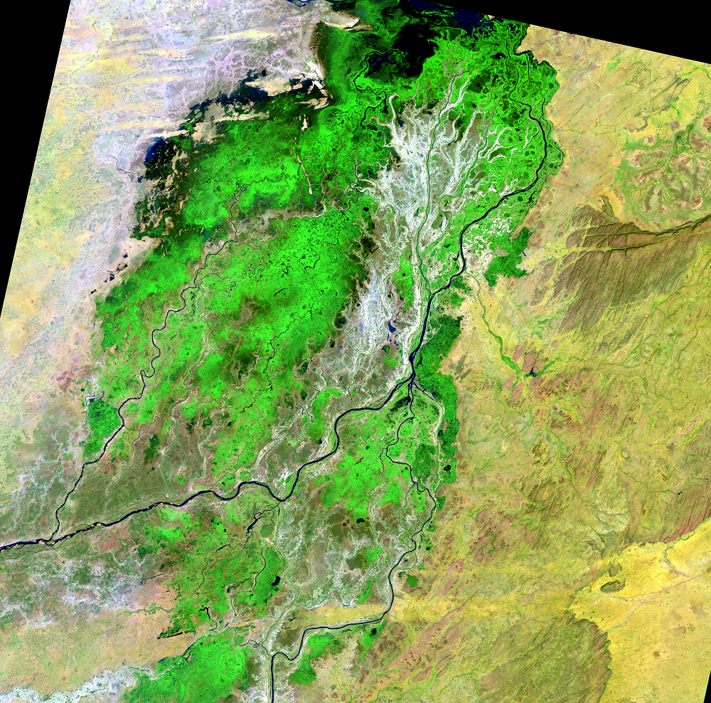
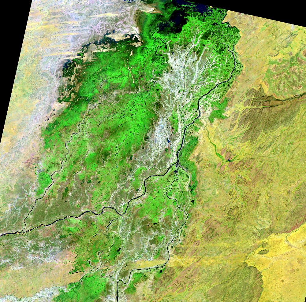
During the flood season, the delta can grow to 20,000 square kilometers (7,700 square miles). During the dry season, it can shrink to 3,900 square kilometers (1,500 square miles). The flatness of the delta region—it drops only 8 meters (26 feet) over its entire length—leads to this large spread of water.
In the images, dark blue to black areas represent open water. The water expands and then noticeably begins shrinking in December. Any bright green, which is actively growing vegetation, also begins to diminish by late December. Dark blotches in the June image are bare ground. And this is roughly what it will look like again the following June.
These 2014 images show a flood level that was close to average.
Imagery
Every picture has a story to tell
Correlated
Additional story information
Downloads
Other Stories
Related imagery and additional content
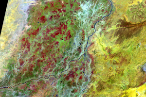
Annual Change
In the flooded season, this part of Mali’s landscape stands out as bri...
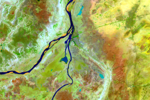
Mopti
The busy port city Mopti is located at the confluence of the Niger and...
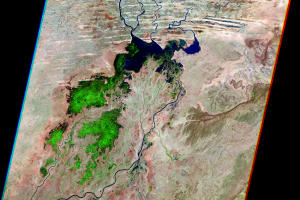
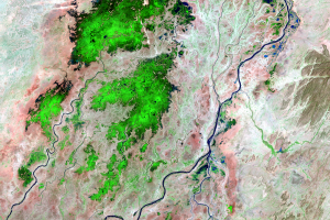
Northern Delta
In the northern portion of the delta, channels fill in between sand du...
Seasonal Flooding
During the flood season, the delta can grow to 20,000 square kilometer...
Southern Delta
The Inland Niger Delta lies in the transition between a seasonally wet...