

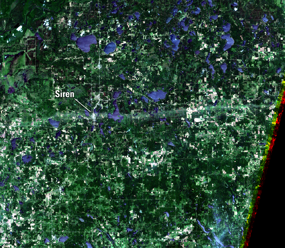
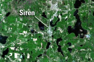
Siren, Wisconsin, USA
Earth Resources Observation and Science (EROS) Center - Earthshots
This Earthshots page looks at the northwestern corner of Wisconsin, in the crook of the St. Croix River, before and just after a tornado cut a west-to-east swath half a mile wide and more than 20 miles long.
These images are shown in simulated natural color; green fields and forests are interspersed by glacial lakes, country roads, and a few popcorn clouds in the May 18 image. (The lakes look much brighter on June 19 than on May 18, most likely from the sun glinting off waves.)
Imagery
Every picture has a story to tell

Correlated
Additional story information
Downloads
Other Stories
Related imagery and additional content
The Siren Storm
The tornado touched down on a Monday evening, June 18, 2001, about 5 m...