

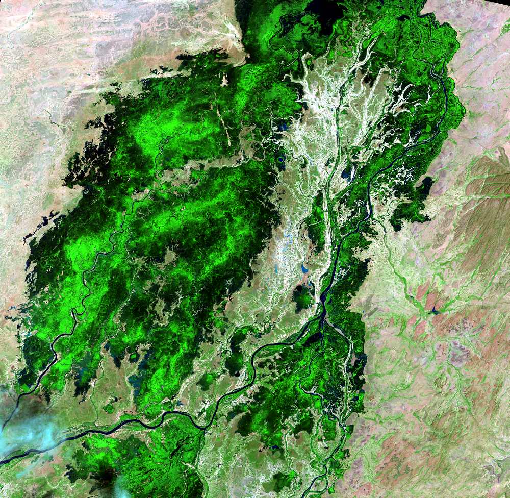
Southern Delta
Earth Resources Observation and Science (EROS) Center - Earthshots
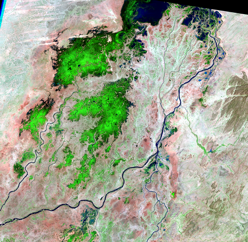
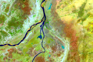
The Inland Niger Delta lies in the transition between a seasonally wet-and-dry climate in the south and a mostly dry climate at the edge of the Sahara. Therefore, the northern and southern parts of the delta have different characteristics.
The southern portion of the delta is a vast alluvial plain. The floodplains fill during the flood season. The water level rises between June and November. The water then flows north and the floodplains empty by early the next year.
The rainy season here begins in July and continues through October. The mean annual precipitation is 600 mm (23.6 inches).
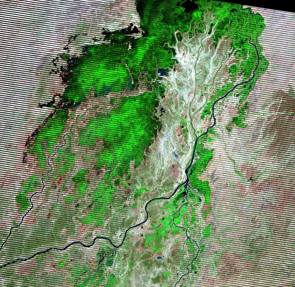
(Black stripes run through the 2011 image because of the Scan Line Corrector failure on Landsat 7 in May 2003.)
Imagery
Every picture has a story to tell
Correlated
Additional story information
Downloads
Other Stories
Related imagery and additional content
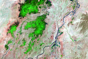
Annual Change
In the flooded season, this part of Mali’s landscape stands out as bri...
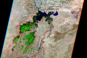
Mopti
The busy port city Mopti is located at the confluence of the Niger and...
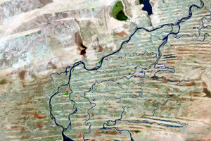
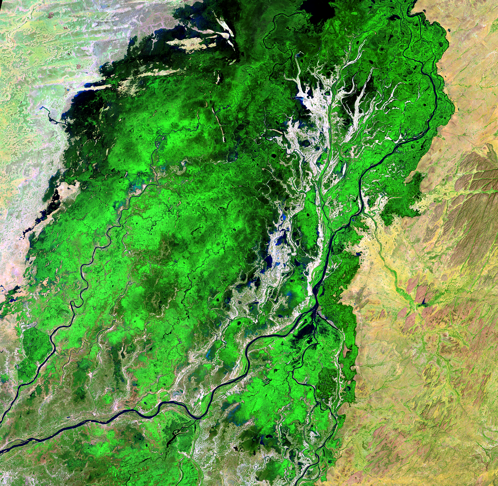
Northern Delta
In the northern portion of the delta, channels fill in between sand du...
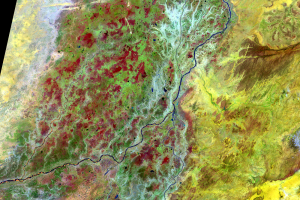
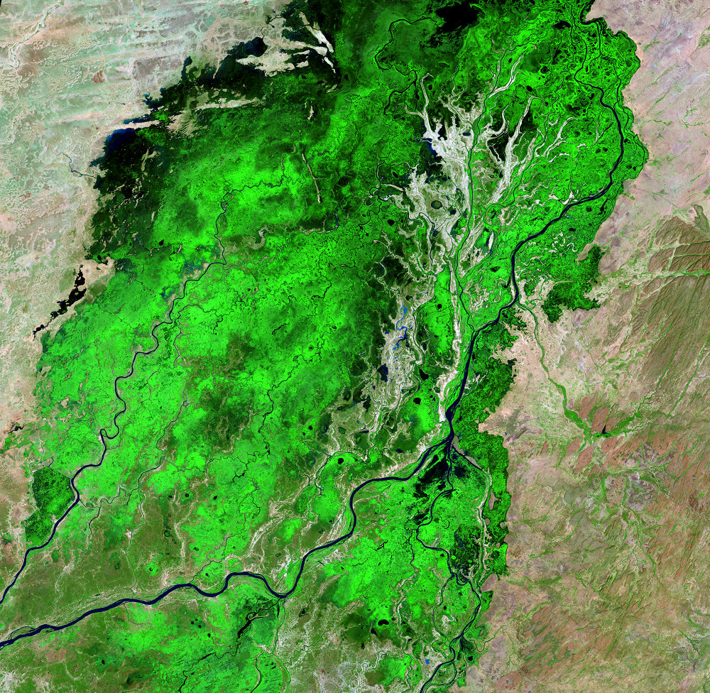
Seasonal Flooding
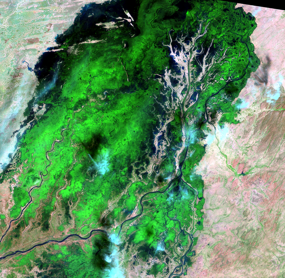
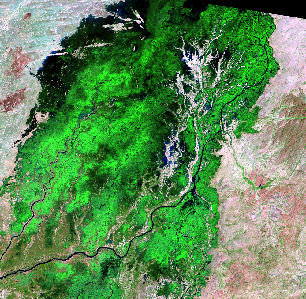
During the flood season, the delta can grow to 20,000 square kilometer...
Southern Delta
The Inland Niger Delta lies in the transition between a seasonally wet...