

Southwestern Las Vegas
Earth Resources Observation and Science (EROS) Center - Earthshots
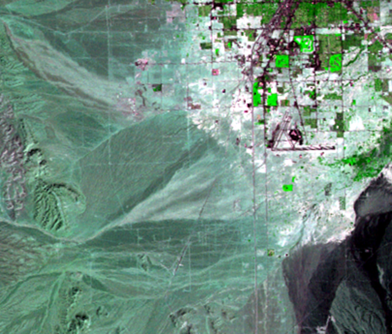
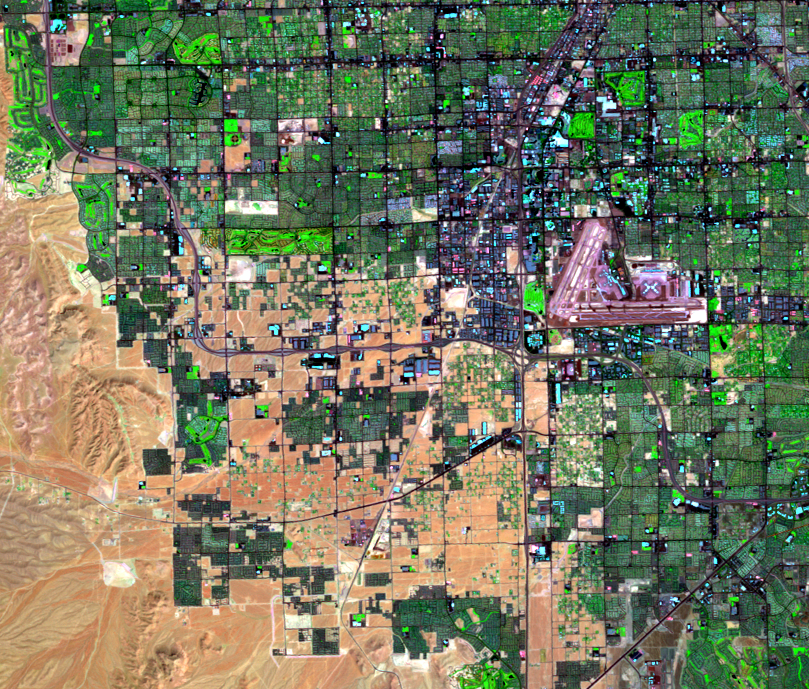
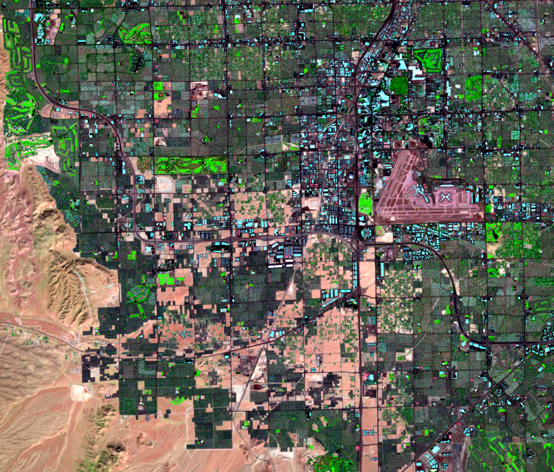
Zooming in on the southwestern portion of the city reveals further urban and suburban changes.
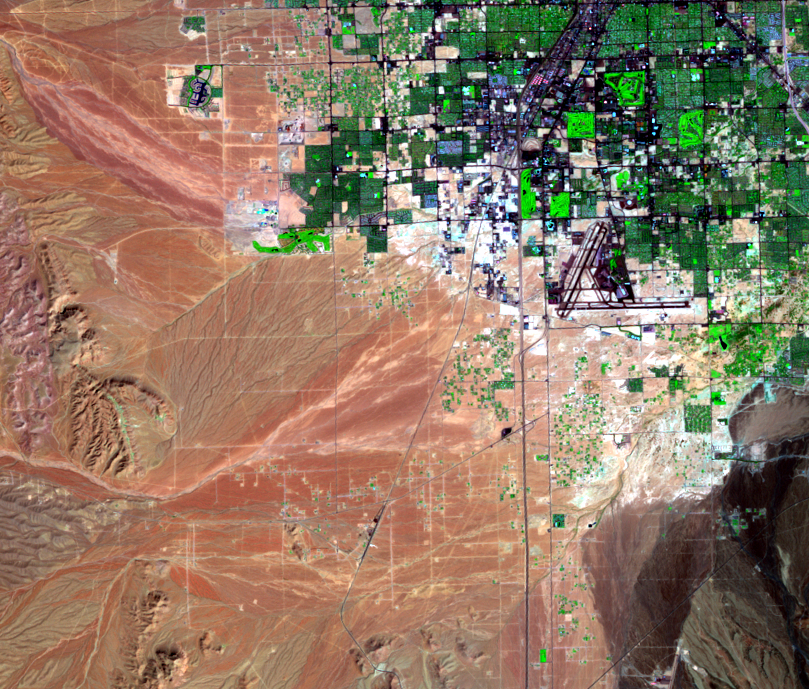
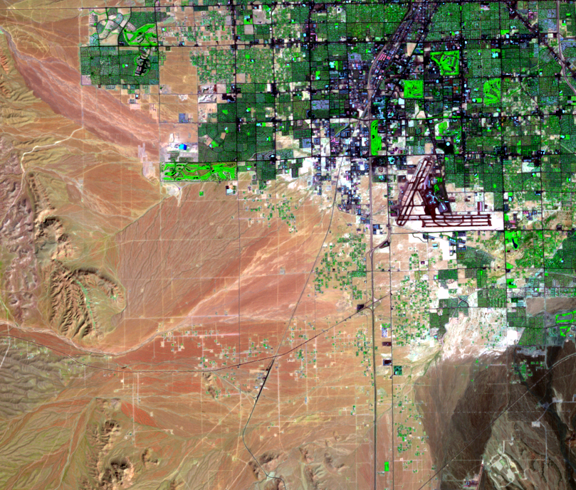
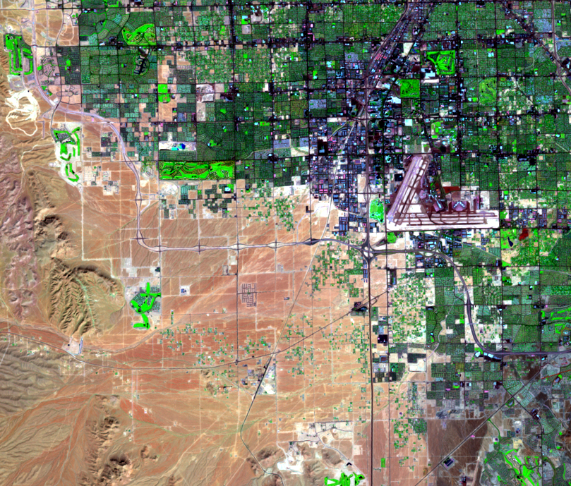
McCarran International Airport expanded in this timeframe to accommodate the population and tourism growth. One way to expand an airport is to pour a lot of concrete. Compare the 1986 and 1992 images. The addition of east-west runways can be clearly seen. You can also see the addition of a new terminal and gates in the 2000 image, located to the east (right) of the present terminal. These “D” gates opened in 1998. The 2010 image reveals additional expansion of the “D” gates, as they take on the final X shape.
More new golf courses show up in this part of the urban area throughout the images. For example, the Rhodes Ranch Golf Club shows up in the 2000 image just south of where a new highway curves in the western part of the image. In the 2022 image, it’s surrounded by residential areas. Landsat data can help people in fast-growing cities plan for future growth.
In the western part of the 2000 image, we see the newly completed highway, Clark County 215. Compare the 2000 image and the 2023 image: what effects do new highways have on a location? Suburbs often develop along main highways, and the growth of residential and retail areas near and along the new highway demonstrate that type of urban growth.
Imagery
Downloads
Related Content
Las Vegas, Nevada, USA
Las Vegas, Nevada, is one of the fastest growing metropolitan areas in...
Change Animation
If you could speed up time and watch a fast-growing city like Las Vega...
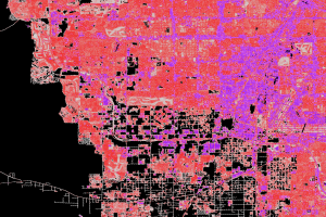
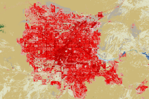
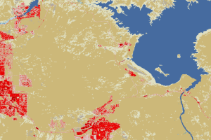
Impervious Surface
NLCD images of western Las Vegas show that much more urban expansion t...
Lake Las Vegas
Between 1986 and 1992, a lake appeared east of the city, along La...
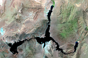
Lake Mead
How is Las Vegas getting enough water for its expanding population? Mo...
Land Cover Maps
The images displayed in this section show a different way of looking a...
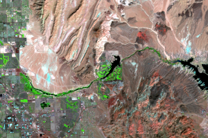
Near Lake Mead
These close-up NLCD images show the water level changes to western Lak...
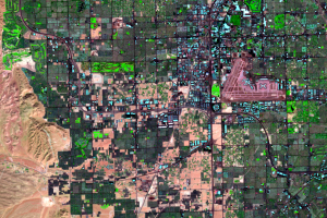
Southwestern Las Vegas
Zooming in on the southwestern portion of the city reveals further urb...
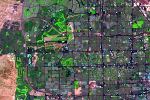
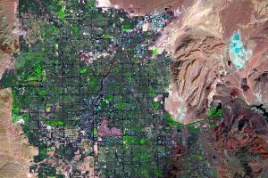
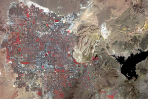
Western Urban Expansion
In these false-color images, bright green indicates vegetation. As the...