

The Island Expands
Earth Resources Observation and Science (EROS) Center - Earthshots
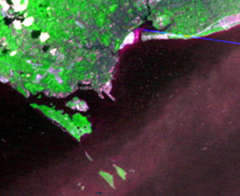
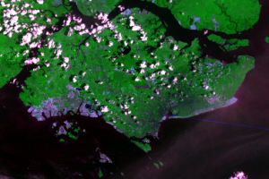
The British started the expansion of Singapore within days of landing in 1819. The expansion was begun by moving soil into small areas around the old port town that flooded at high tide. As Singapore became more important to Britain’s economy and military, they invested more in the port, including more extensions of land. This activity peaked between the World Wars, when Britain built the port into its naval stronghold in East Asia, and it ended with the Second World War, after which development quieted. From the mid-1800s to 1960, the city’s coastline had moved about 500 meters seaward.
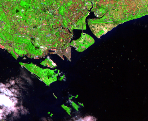
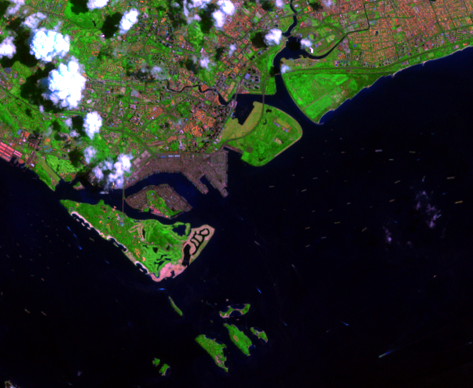
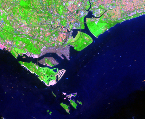
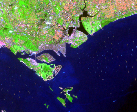
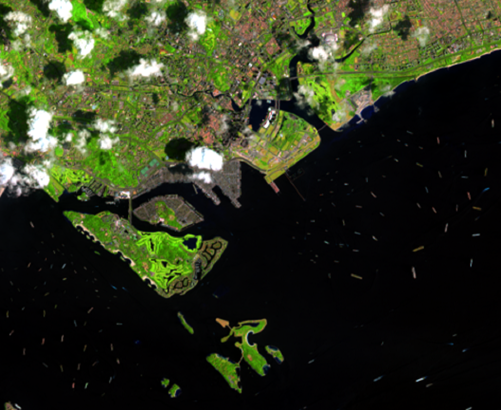
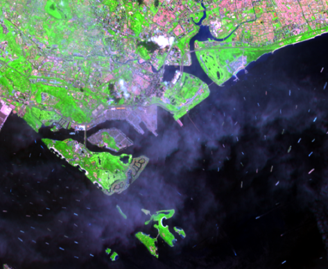
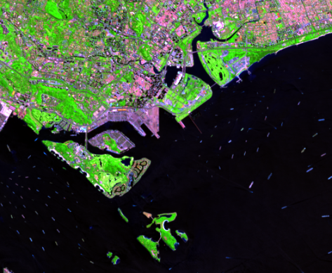
In the decades following self-government in 1959, Singaporeans have created much more land than the British did in 140 years. The 1973 and 1990 images show this transformation underway; new ground was created either by flattening nearby hills or by scooping up underwater sand to deepen navigation channels. By 2000, you can identify the new recreation areas, stretching east along the coast and on southern Sentosa Island, by the green color of their vegetation, with golf fairways appearing as bright strips. The harbor channel is flanked by the gray areas of loading facilities. In the later images, you can see ships of different colors and sizes swarming in the water.
Imagery
Every picture has a story to tell
Correlated
Additional story information
Downloads
Other Stories
Related imagery and additional content
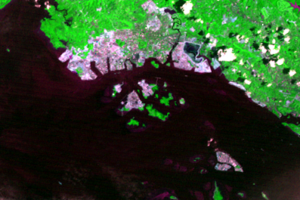
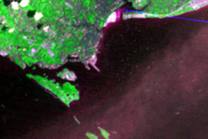
Changi Airport
The new shoreline extends east of the city all the way to the airport ...
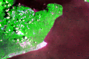
Jurong
The symbol of the new Singapore may be on the island’s west end, the i...
The Island Changes
Landsats 1 through 8 recorded these post-independence changes, startin...
The Island Expands
The British started the expansion of Singapore within days of landing ...