

The Lakes Form
Earth Resources Observation and Science (EROS) Center - Earthshots
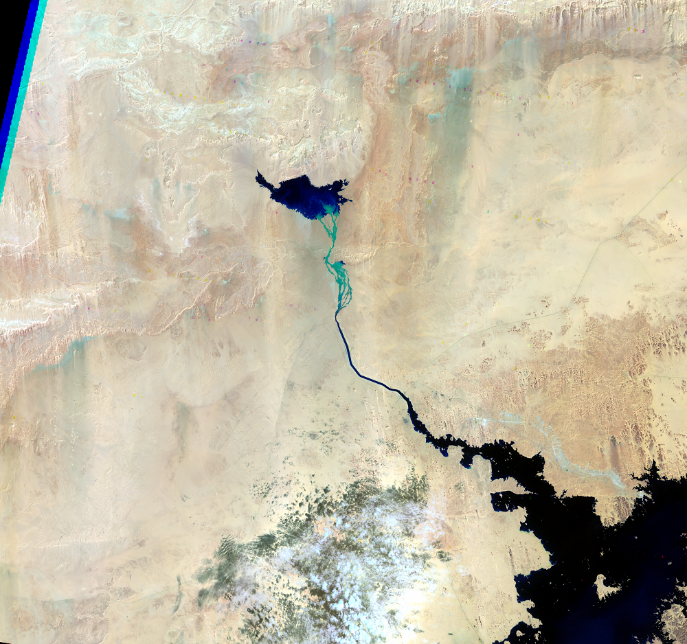
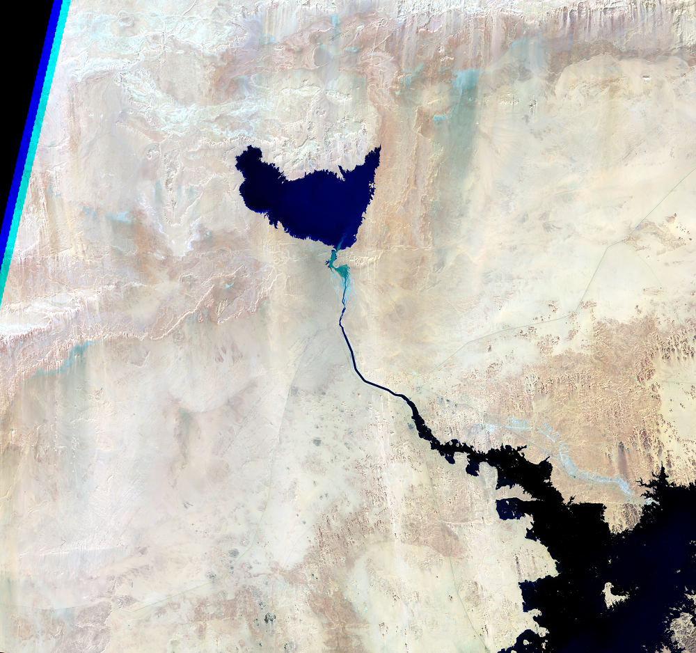
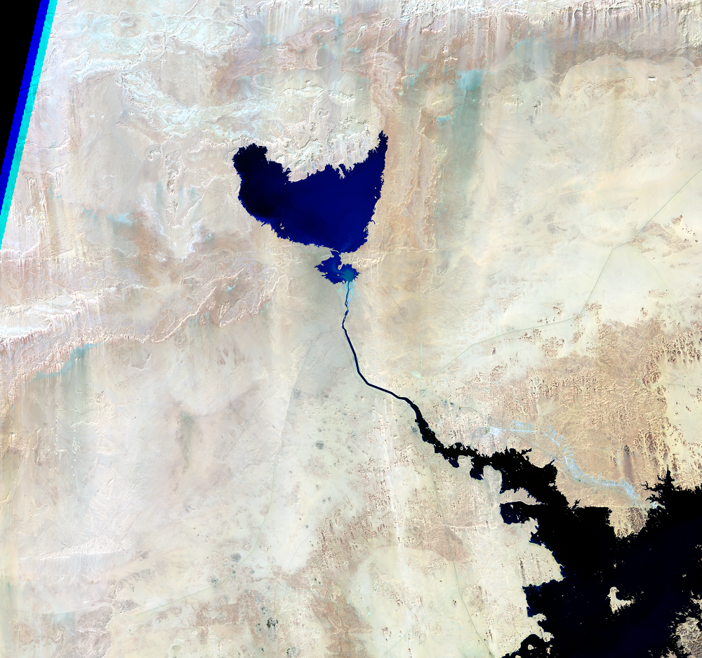
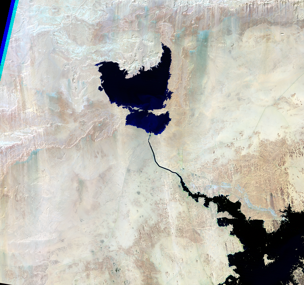
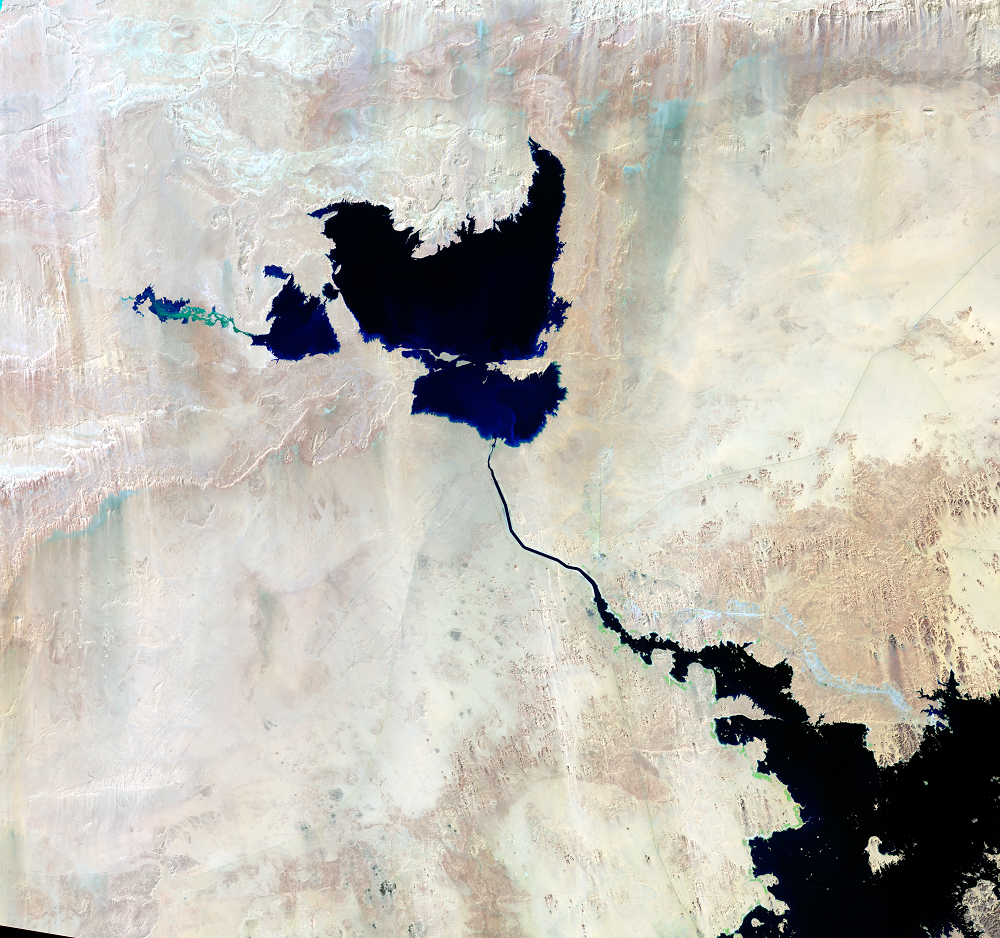
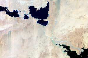
The Aswan High Dam on the Nile River was completed in 1970 for flood protection and to store water during dry years. The dam formed Lake Nasser, the third largest reservoir in the world by volume. A small portion of this lake is visible in the lower right corner of the images.
In 1978, a spillway and channel were built as a precaution against any unexpected increase in Lake Nasser’s water level. The channel can divert water from the reservoir to the Toshka basin, which is located outside the Nile basin. This design reduces pressure on the dam and protects downstream areas from massive flooding.
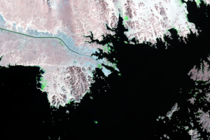
In 1998, excess rainfall in the Ethiopian highlands tested the flood control plan. The huge reservoir reached its maximum stage of 183 meters above sea level in September. The overflow water streamed through the spillway and into the Toshka basin forming the Toshka lakes. Around 32 to 98 million cubic meters of water per day poured into the basin during September and October.
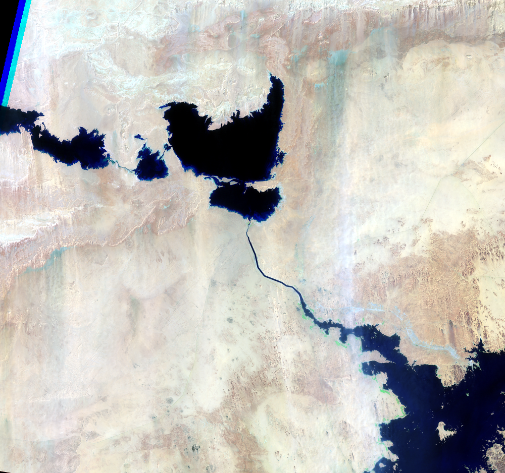
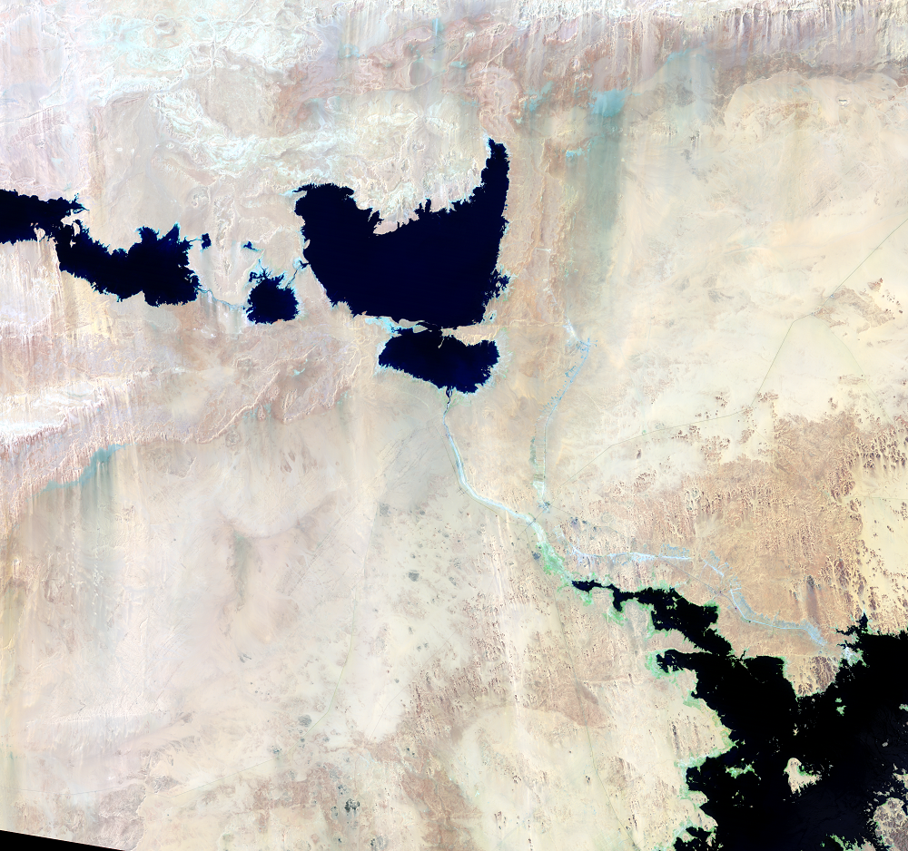
The lakes reached their maximum collective size in August 2001. Their area remained fairly stable through August 2003. The water supply from Lake Nasser continuously replaced water lost through evaporation. As the level of Lake Nasser subsided, the water supply from the reservoir stopped and the lakes started diminishing.
Imagery
Downloads
Related Content
Toshka Project, Egypt
In southern Egypt, the sandy desert has turned into a lakes region. Be...
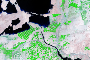
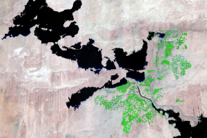
Irrigated Fields
The economic viability of this huge project has been unclear. It’s imp...
Pumping Station
As part of the Toshka Project, a pumping station sends water from Lake...

Submerged Dunes
These close-ups of one of the larger lakes show how the formation and ...
The Lakes Form
The Aswan High Dam on the Nile River was completed in 1970 for flood p...
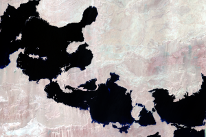
The Lakes Shrink
The only two places for water in this arid region to go are into the a...