

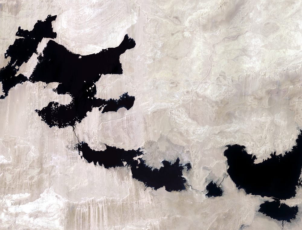
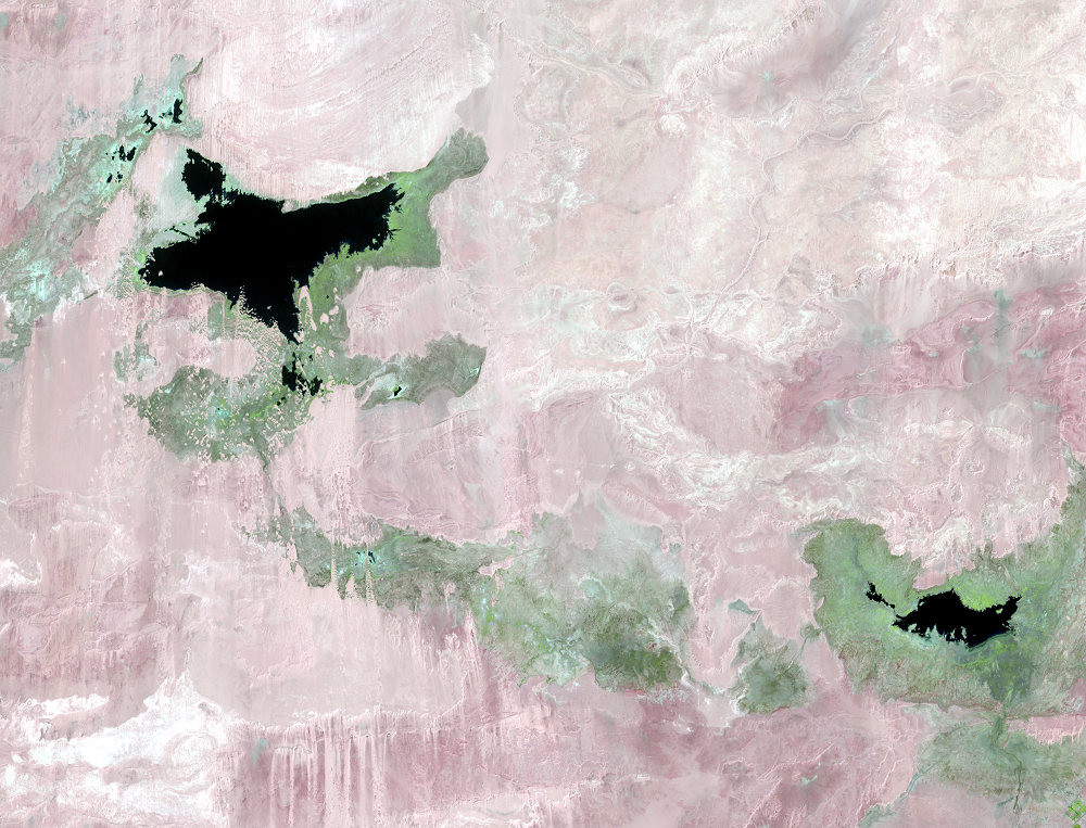
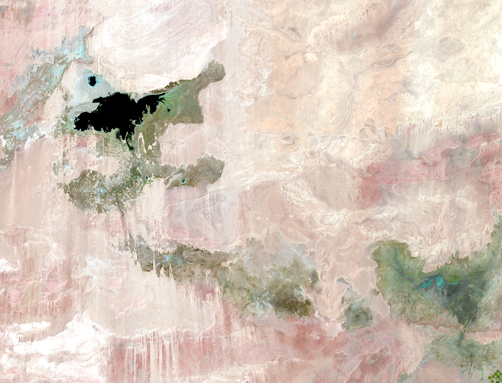
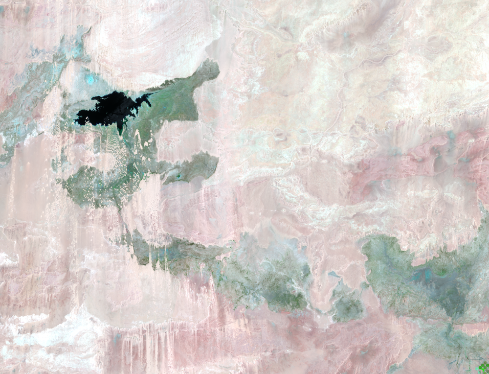
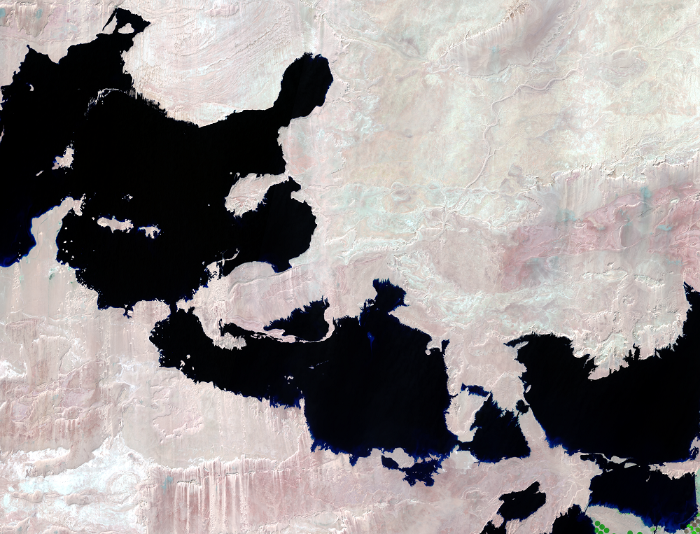
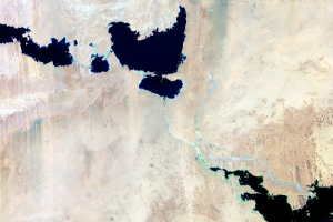
The Lakes Shrink
Earth Resources Observation and Science (EROS) Center - Earthshots
The only two places for water in this arid region to go are into the air or into the ground. The underlying limestone prevents much ground infiltration. In the Toshka region, annual precipitation averages a meager 1.5 millimeters, and the potential evaporation rate is 14–15 millimeters per day. With no natural outlet and reduced water input to these lakes from Lake Nasser, the water evaporated quickly. Starting in 2019, flooding rains in Sudan once again brought excess water to Lake Nasser, and water once again flowed into the Toshka basin.
Imagery
Downloads
Related Content
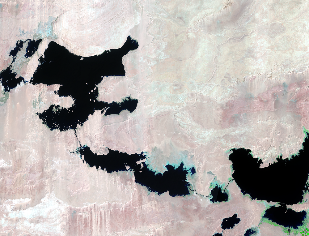
Toshka Project, Egypt
In southern Egypt, the sandy desert has turned into a lakes region. Be...
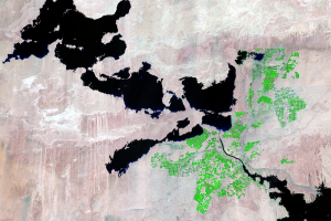
Irrigated Fields
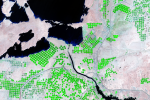
The economic viability of this huge project has been unclear. It’s imp...
Pumping Station
As part of the Toshka Project, a pumping station sends water from Lake...
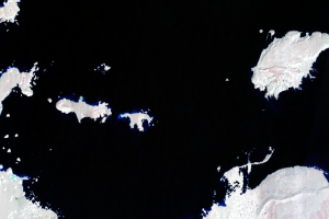
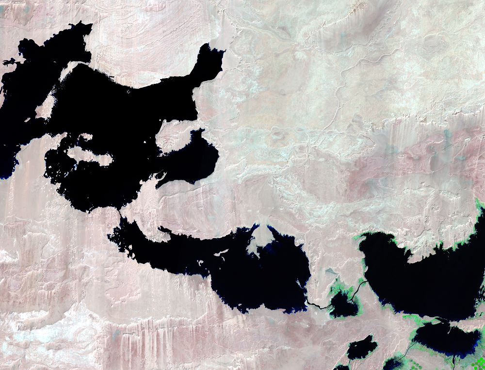
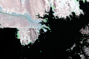
Submerged Dunes
These close-ups of one of the larger lakes show how the formation and ...
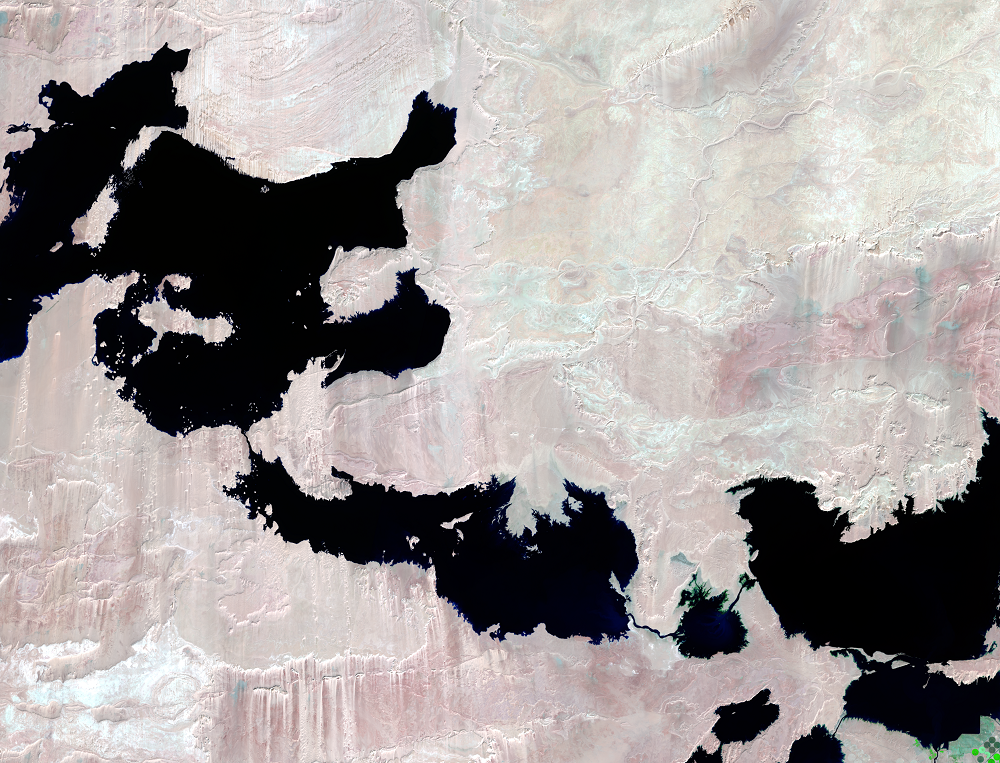
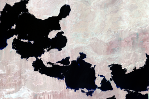
The Lakes Form
The Aswan High Dam on the Nile River was completed in 1970 for flood p...
The Lakes Shrink
The only two places for water in this arid region to go are into the a...