

Western Side
Earth Resources Observation and Science (EROS) Center - Earthshots
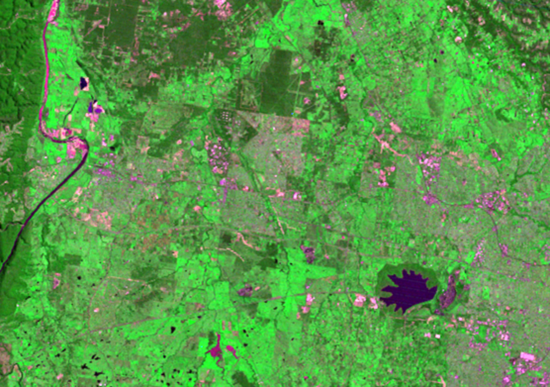
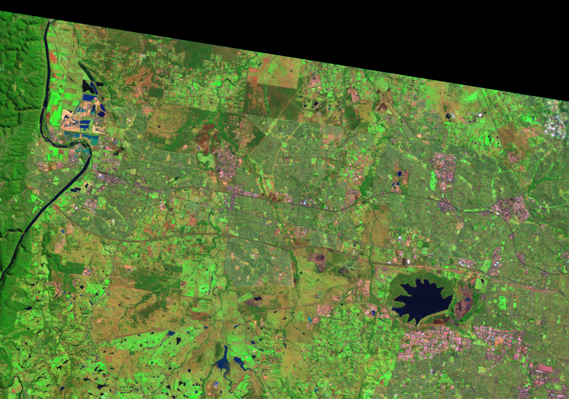
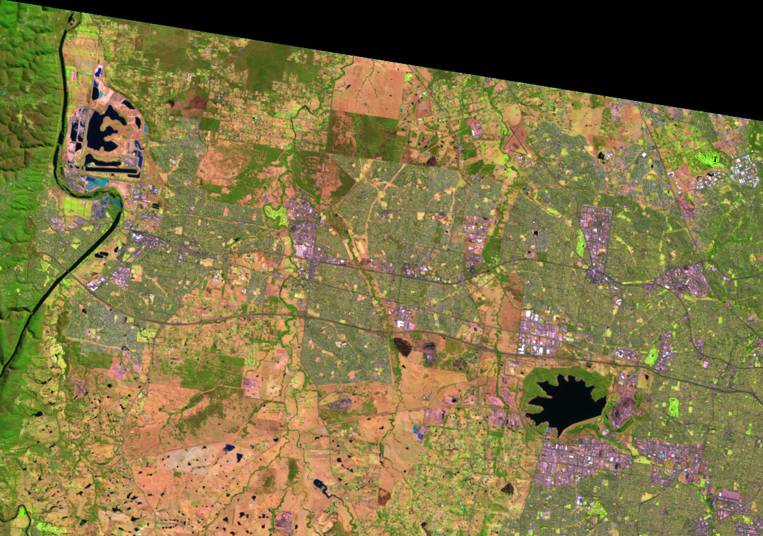
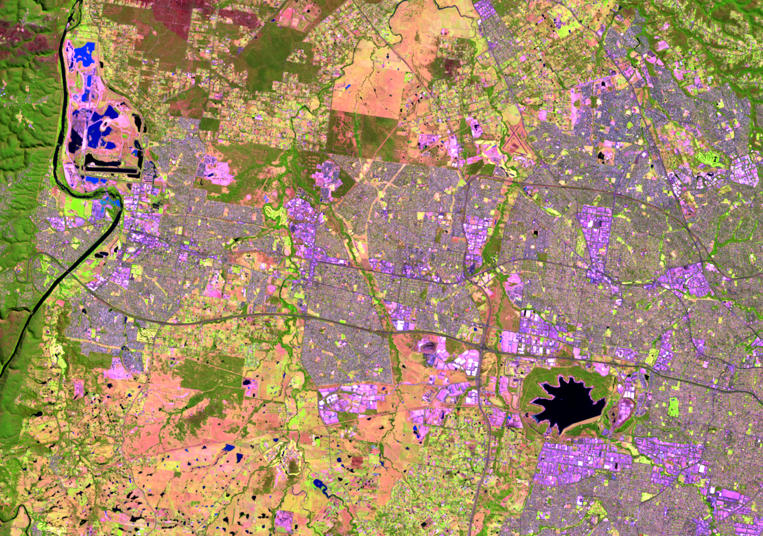
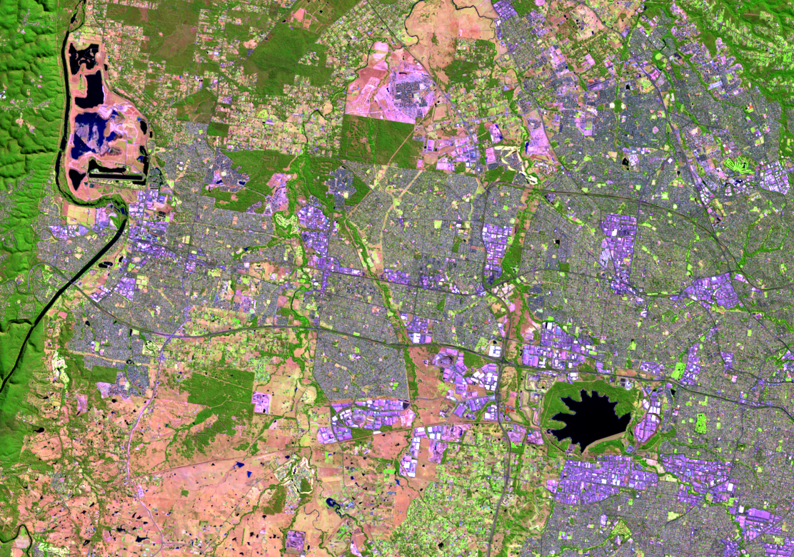
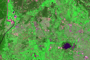
Urban growth in Sydney is seen on its western side. The light greens and purples in this sequence of images are residential and retail areas, and they are expanding over the green and tan colors of a more vegetated landscape. Even with this population growth, natural areas are preserved.
The lake that looks like the top of a rooster’s head is Prospect Reservoir. It’s been there since long before satellites. It was completed in 1888 to supply Sydney with water. The earthfill dam that formed the reservoir is 2.2 kilometers long and 26 meters high. The reservoir is surrounded by green in the images—the Prospect Nature Reserve. The purpose of the reserve is to offer environmental education, bushland conservation, and recreation such as walking and biking trails.
The 2013 image reveals a new highway that runs in a north-south direction on the west side of Prospect Reservoir. The Westlink M7 toll road opened to traffic in December 2005. North of the reservoir, the highway turns sharply to the east.
Imagery
Every picture has a story to tell
Correlated
Additional story information
Downloads
Other Stories
Related imagery and additional content
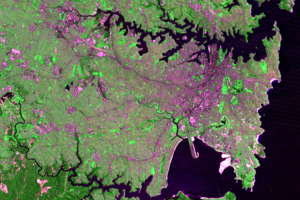
Botany Bay
The other major natural harbour on the south end of these images is Bo...
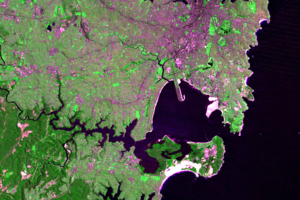
Harbours
Sydney Harbour defines the city and makes it recognizable worldwide. P...
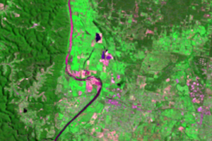
Penrith Lakes
A feature west of Sydney changes shape and color throughout these four...
Western Side
Urban growth in Sydney is seen on its western side. The light greens a...