

Where Is the Water?
Earth Resources Observation and Science (EROS) Center - Earthshots
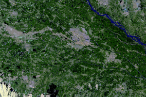
The first question people have when seeing these images of the Aral Sea over time is, Where did the water go?
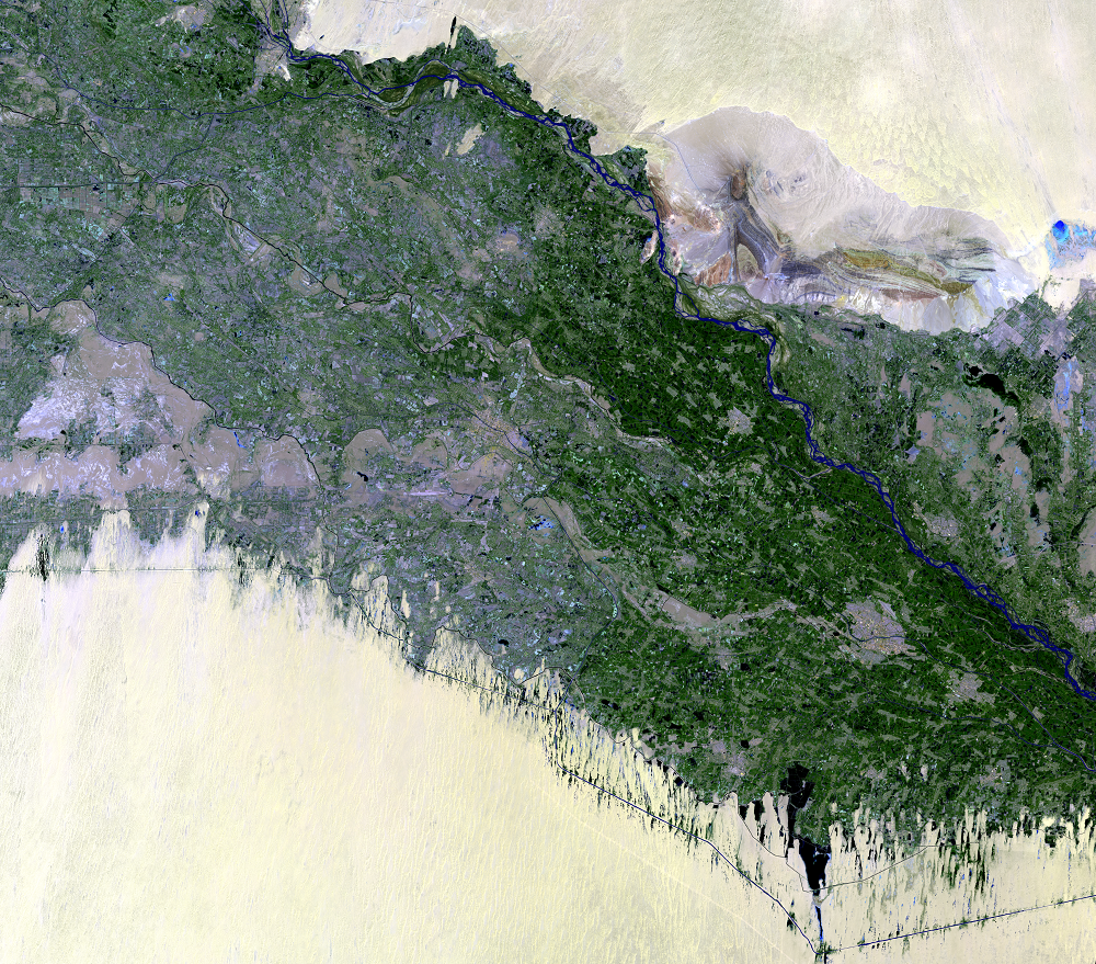
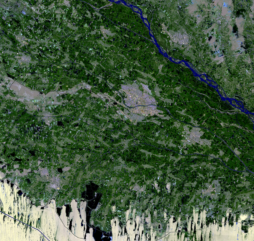
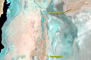
The images that go along with this section show where a lot of it is going. These images are from a Landsat scene south of the Aral Sea, upstream along the Amu Darya. The urban area in the center of the close-up image is Urgench, Uzbekistan.
Both images show extensive irrigated cropland along the Amu Darya. Canals can be seen stretching across the region, along with several pools of stored water. There is still plenty of water in the rivers that feed the Aral, it’s just being used before it can get there.
Imagery
Downloads
Related Content
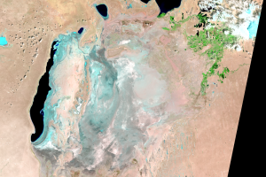
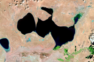
Aral Sea, Kazakhstan and Uzbekistan
We see a lot of change with 50 years of Landsat imagery, along with th...
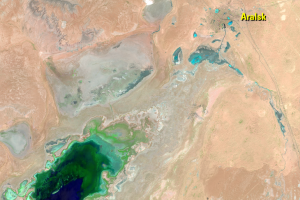
Aralsk
The city of Aralsk is shown in the 1964 ARGON image on the coast of th...
Islands
The name Aral means Island. The sea did once have many islan...
Kazakhstan, North Aral Sea
While the entire Aral Sea is shrinking dramatically, these images show...
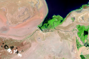
Kok-Aral Dam
The Kok-Aral Dam was completed in 2005 to control the water level of t...
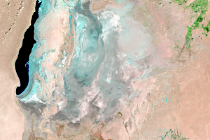
Uzbekistan, South Aral Sea
Although using the dam to retain most of the water from the Syr Darya ...
Where Is the Water?
The first question people have when seeing these images of the Aral Se...