

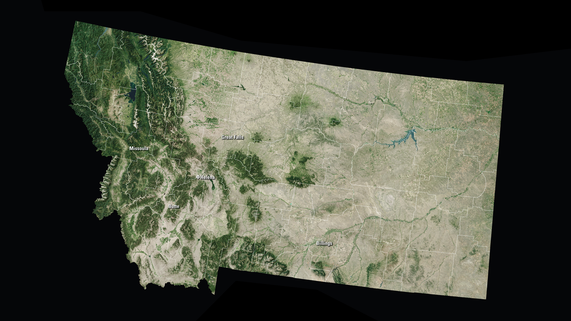
With a total area of 147,040 square miles, Montana is the fourth largest state in the country. But it has the forty-fourth largest population. Montana has an average population density of seven people per square mile.
Downloads
You May Also Like

MT Satellite Puzzle
First put together your state, and then try another. Notice the types of land features captured by Landsat as you fit the pieces together.
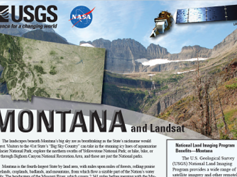
Montana and Landsat
Landsat data are used every day to help us better understand our dynamic planet. Read about how Landsat benefits Montana in this USGS Fact Sheet.
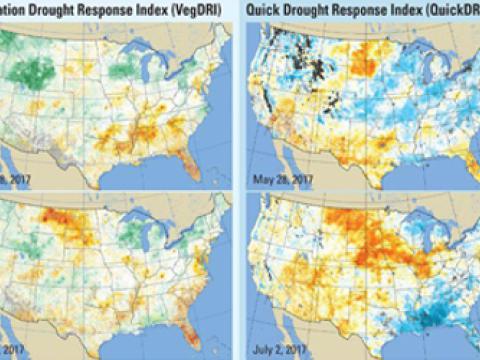
QuickDRI, VegDRI Showed Their Value in Montana Drought of 2017
In the spring of 2017, almost no one in Montana saw the drought coming. Not when winter snowpack and early rains soaked the landscapes with adequate moisture. Not when springtime green-up seemed to hold such promise.