

Utah mountain peaks, on average, are the tallest in the country. The average elevation of the tallest peaks in each of Utah’s counties is 11,222 feet–higher than the same average in any other state.
Downloads
You May Also Like

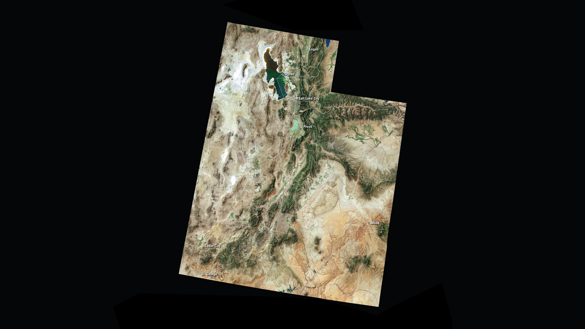
UT Satellite Puzzle
First put together your state, and then try another. Notice the types of land features captured by Landsat as you fit the pieces together.
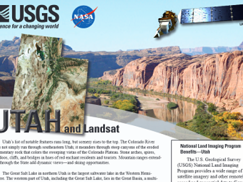
Utah and Landsat
Landsat data are used every day to help us better understand our dynamic planet. Read about how Landsat benefits Utah in this USGS Fact Sheet.