

Rivers and Rain
Earth Resources Observation and Science (EROS) Center - Earthshots
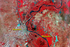
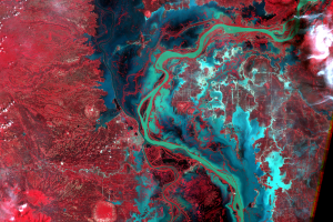
Phnom Penh lies just west of the four-river intersection called the Chattomukh ("Four Faces"). From the northwest and northeast, respectively, flow the Tonle Sap and Mekong Rivers. These waters merge and split into the Basak River and the Mekong, which flow southeast to the South China Sea.
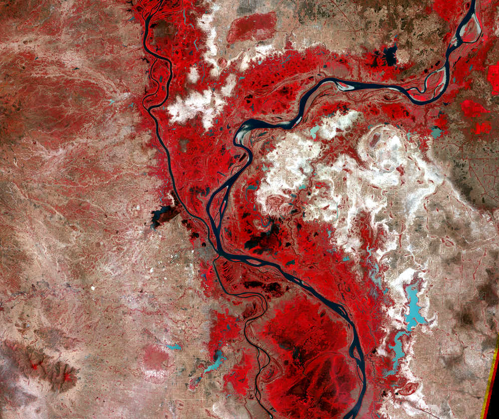
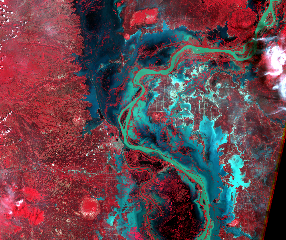
The Mekong River is the 12th longest in the world, flowing 4,200 km from western China to the Mekong Delta in southern Vietnam. Every autumn, monsoon rains are too great for the Mekong to carry, and it floods a large area of Cambodia. This flood even reverses the flow of the Tonle Sab River, northward to the Tonle Sap ("Great Lake"), which can expand to ten times its normal size.
This area receives 152 to 203 cm of rain annually, most of which falls during the southeast monsoons from mid-May to early October. Landsat images are effective for quantifying changes in surface water. The pair of images from 1995 shows the dramatic effect the annual flooding can have.
Imagery
Downloads
Related Content
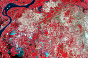
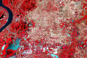
Phnom Penh, Cambodia
From 1975 to 1978, Cambodia was ruled by the Khmer Rouge regime, which...
Population Change
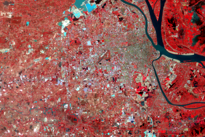
Phnom Penh is the largest city along the Mekong River. Its population ...
Rivers and Rain
Phnom Penh lies just west of the four-river intersection called the Ch...
The Initial Irrigation Idea
From 1975 to 1978, Cambodia was governed by Pol Pot. His regime was kn...
Further Problems
Many projects were headed by loyal party leaders with no technical ski...