

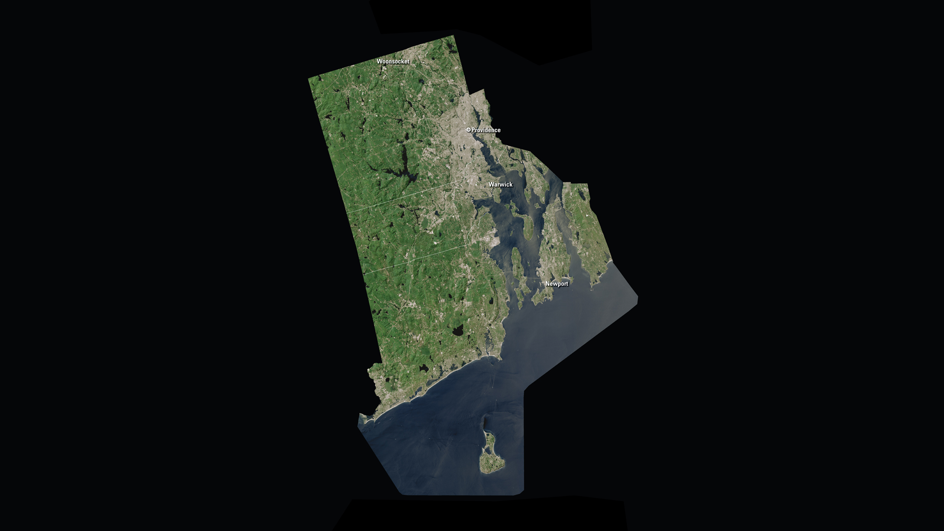
The total area (land and water) of Rhode Island is only 1,545 square miles. The state measures about 37 miles east-west, and about 48 miles north-south.
Downloads
You May Also Like

RI Satellite Puzzle
First put together your state, and then try another. Notice the types of land features captured by Landsat as you fit the pieces together.
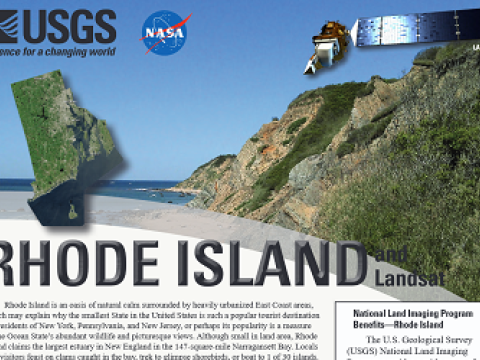
Rhode Island and Landsat
Landsat data are used every day to help us better understand our dynamic planet. Read about how Landsat benefits Rhode Island in this USGS Fact Sheet.
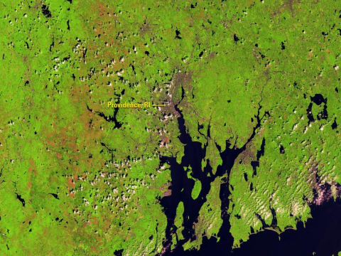
Landsat Monitors Gypsy Moth Damage
Massive defoliation caused by a severe outbreak of the European gypsy moth caterpillar during the spring and summer of 2016 across southern New England and the Mid-Atlantic was easily captured by the Landsat 8 Operational Land Imager sensor.