
We’ve created fun and engaging educational lessons that allow students to look at satellite imagery and perform the same analysis as our remote sensing scientists at EROS. Students of all ages can learn how remote sensing scientists use Landsat satellite data to track changes to the Earth’s surface over the years. We’ve also added a few games and puzzles so you can test your skills too.

Remote Sensing Classroom
Earth Resources Observation and Science (EROS) Center
Educational Lessons
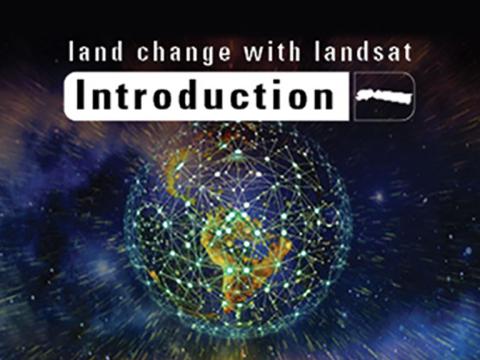
Land Change with Landsat
Introduction
These activities will introduce you to Landsat images and how the Landsat satellites work.
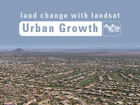
Land Change with Landsat
Urban Growth-Phoenix, AZ
From 438 miles above the Earth, Landsat satellites capture all sorts of changes on the Earth's surface.
Interactives
Collections and Games
Earthshots
Satellite images of environmental changes
Travel the world at your own pace and see changes to the Earth's surface in these satellite images of environmental transformation.
Spot the Change Quiz
Interpreting Satellite Images
Track changes to the Earth's surface. Test your ability to see what a scientist sees!
Test Your Memory
Image matching at different levels
This memory game has a challenging twist. The pairs of images are not identical. Instead, they are before and after images of a changing location.
Satellite Puzzles
Various state images to choose from
First put together your state, then try another. Notice the types of land features captured by satellites as you fit the pieces together.