

South Dakota is home to the fabled “Black Hills.” Seen from a distance, these pine-covered hills, rising several thousand feet above the surrounding prairie, appear black.
Downloads
You May Also Like

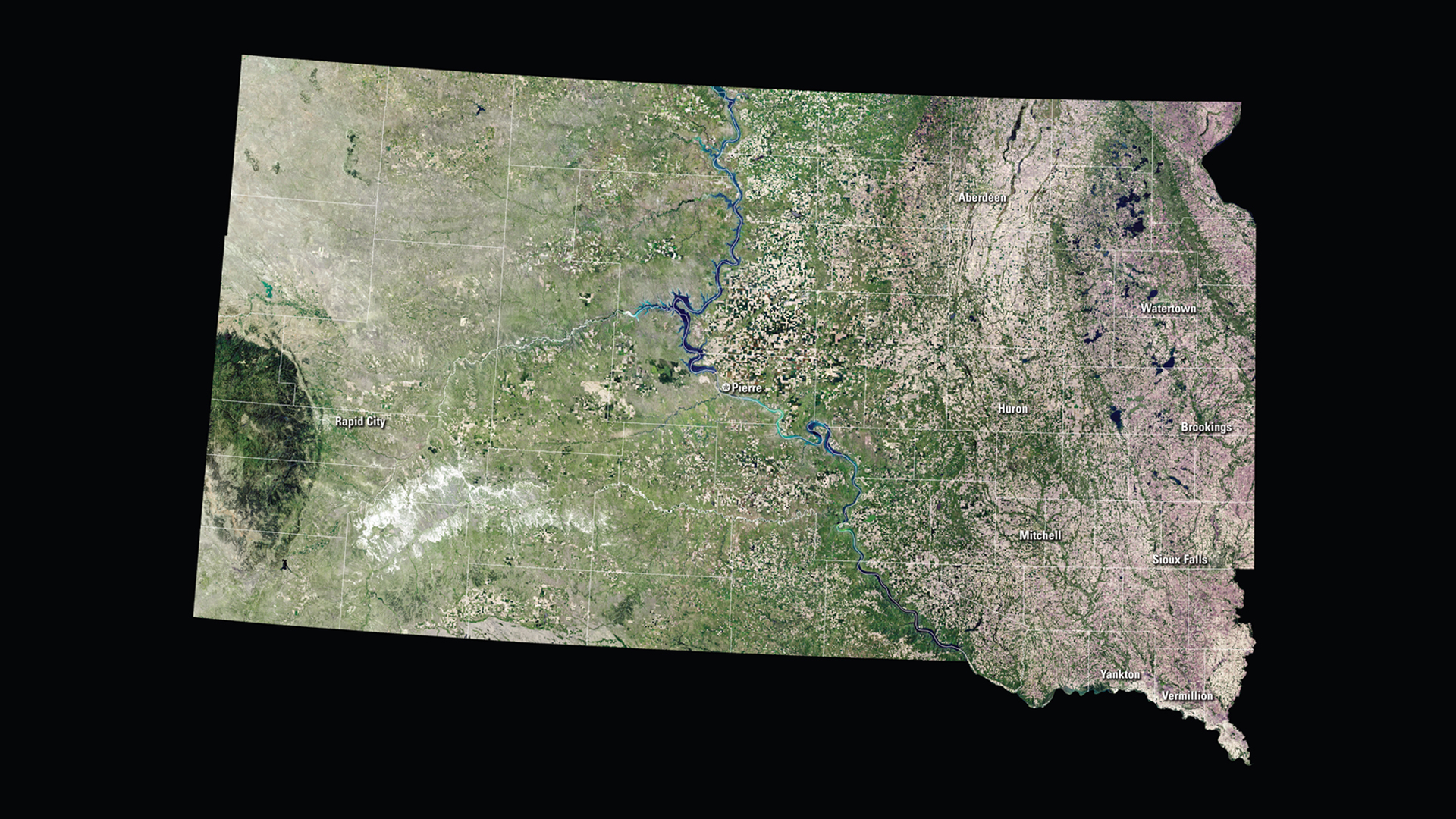
SD Satellite Puzzle
First put together your state, and then try another. Notice the types of land features captured by Landsat as you fit the pieces together.
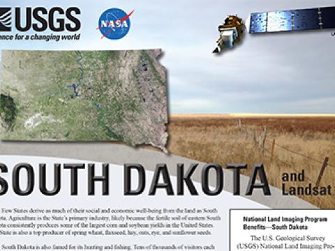
South Dakota and Landsat
Landsat data are used every day to help us better understand our dynamic planet. Read about how Landsat benefits South Dakota in this USGS Fact Sheet.
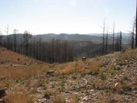
Black Hills Perfect Laboratory for Multi-Sensor Fire Science Research
After the Legion Lake Fire at Custer State Park in South Dakota’s Black Hills erupted in December 2017— burning across private, state, and federal landscapes all at once—scientists at the Earth Resources Observation and Science (EROS) Center discovered an important opportunity among the ashes.