

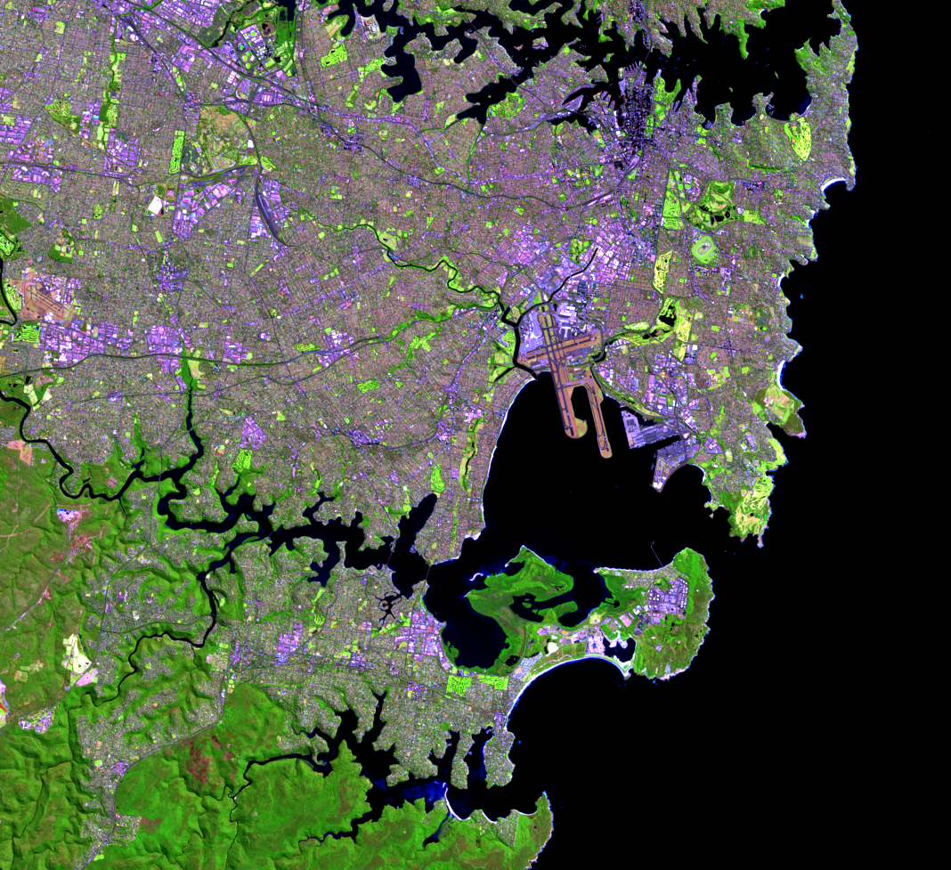
Botany Bay
Earth Resources Observation and Science (EROS) Center - Earthshots
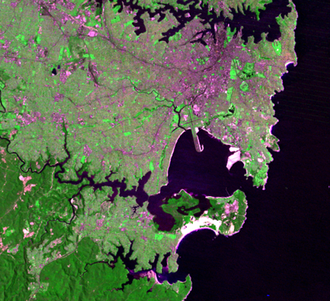
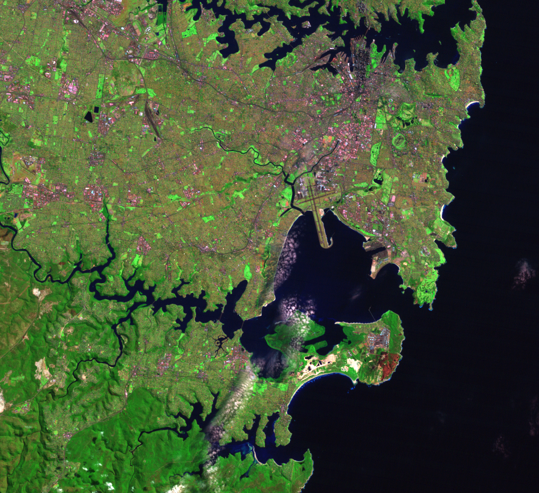
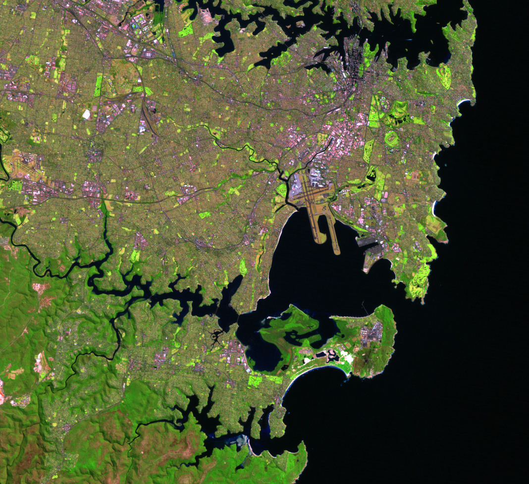
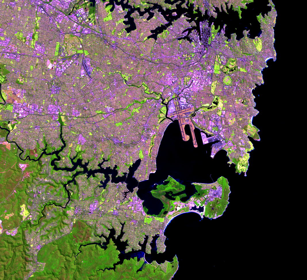
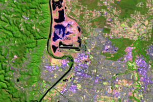
The other major natural harbour on the south end of these images is Botany Bay. The runways of Sydney Airport stretch into the bay. The main north-south runway is 3,962 meters long and was built in 1963. The other runway that extends into the bay appears in the 2002 image; it was completed in 1994.
Another expansion seen in Botany Bay is Port Botany, a major shipping port for Australia. The port is in an ideal location because of the deep water channels of the bay and proximity to the open waters of the Tasman Sea. The most recent addition is seen in the 2013 image, which shows the development of 63 hectares of land.
Imagery
Downloads
Related Content
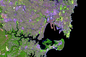
Sydney, Australia
Sydney, Australia, is a growing cosmopolitan city. Besides its recent ...
Botany Bay
The other major natural harbour on the south end of these images is Bo...
Harbours
Sydney Harbour defines the city and makes it recognizable worldwide. P...
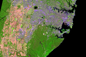
Penrith Lakes
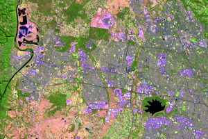
A feature west of Sydney changes shape and color throughout these four...
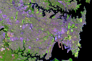
Western Side
Urban growth in Sydney is seen on its western side. The light greens a...