

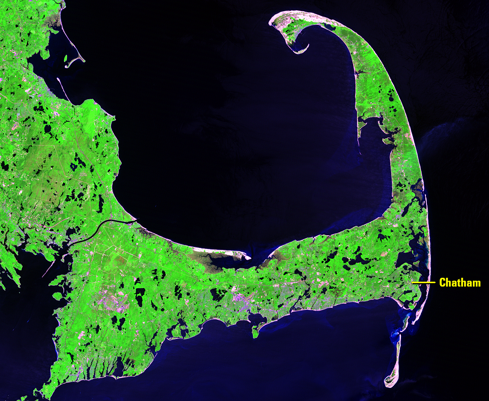
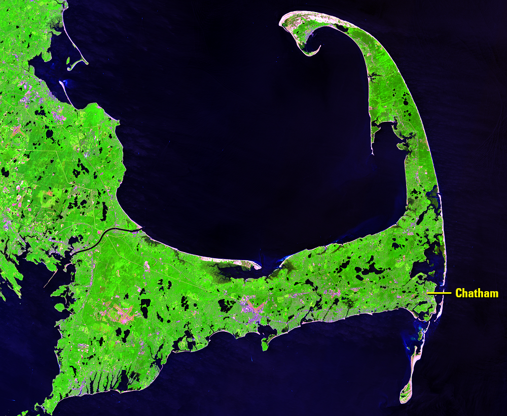
Cape Cod, Massachusetts, USA
Earth Resources Observation and Science (EROS) Center - Earthshots
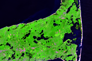
Along some coastlines, long, narrow islands stand guard. These barrier islands are attractive to tourists, but they also protect the mainland coast from storm surge and are important beach, dune, and marsh habitats. Those islands do take a beating though.
These images focus on the southeastern elbow of Cape Cod, Massachusetts. Wave action, currents, winds, and tides are constantly changing the barrier islands here. Strong storms can change them quite suddenly.
In 1984, a nearly unbroken barrier island lines the Massachusetts coast at Chatham. To the south, Monomoy Island extends into the ocean like a teardrop. The other subsections of this Earthshots page show over 35 years of changes to these barrier islands as seen by three different Landsat satellites.
Imagery
Downloads
Carlowicz, Michael, 2014, Coastline Change: NASA Earth Observatory World of Change article, available at http://earthobservatory.nasa.gov/Features/WorldOfChange/cape_cod.php?src=features-hp&eocn=home&eoci=feature. (Accessed January 27, 2015.)
NPS, 2015, Cape Cod National Seashore: National Park Service Web page at http://www.nps.gov/caco/index.htm. (Accessed January 27, 2015.)
Thieler, E.R., Smith, T.L., Knisel, J.M., and Sampson, D.W., 2013, Massachusetts Shoreline Change Mapping and Analysis Project, 2013 Update: U.S. Geological Survey Open-File Report 2012–1189, 42 p., http://pubs.usgs.gov/of/2012/1189/.
USFWS, 2009, Monomoy National Wildlife Refuge: U.S. Fish and Wildlife Service brochure, available online at https://www.fws.gov/refuge/Monomoy.
Related Content
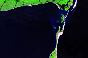
Monomoy Island(s)
Monomoy is the southernmost barrier island in this system. It once con...
Storms
Ocean currents, and the sediments they transport, have constantly shif...