

Changi Airport
Earth Resources Observation and Science (EROS) Center - Earthshots
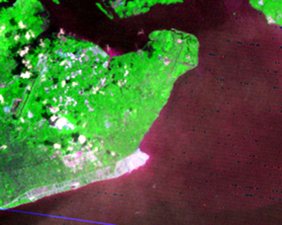
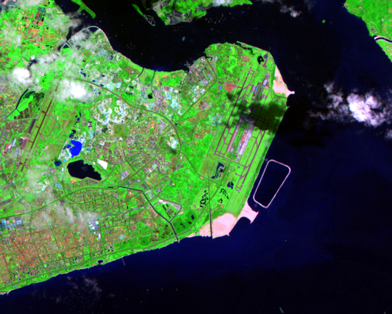
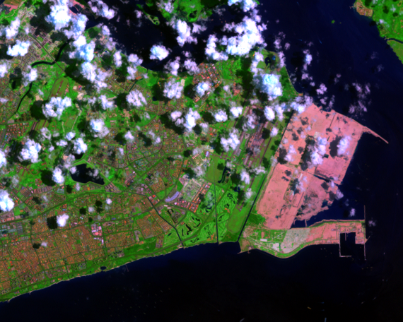
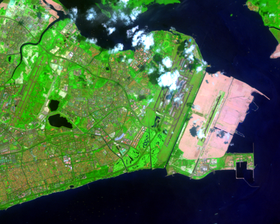
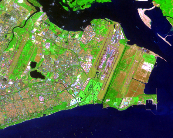
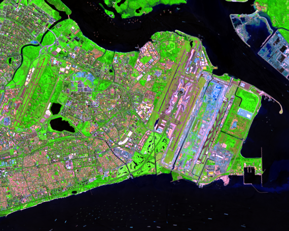
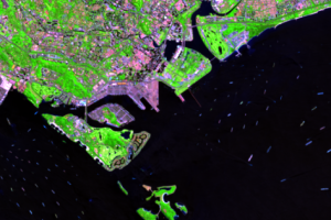
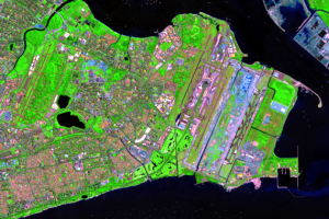
The new shoreline extends east of the city all the way to the airport on the island’s tip. In the mid-1970s, the government moved the main international terminal from Paya Lebar to Changi, partly to allow more distance between the planes and new, higher skyscrapers downtown.
In the 1989 image, on the east end of the island, you can see the old and new runways, parallel and a few miles apart. Planes now land where once was only water. A further extension of the land on the eastern tip was built for Chengi Air Base, visible in the 2000 image and later.
Imagery
Downloads
Related Content
Singapore
“Buy land,” a wise man once said. “They’re not making any more.” Not s...
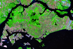
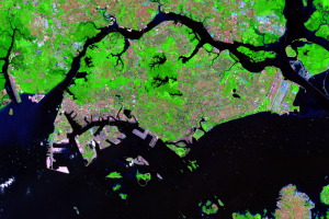
The Island Changes
Landsats 1 through 8 recorded these post-independence changes, startin...
The Island Expands
The British started the expansion of Singapore within days of landing ...
Changi Airport
The new shoreline extends east of the city all the way to the airport ...

Jurong
The symbol of the new Singapore may be on the island’s west end, the i...