

More Selkirk Cloudscapes
Earth Resources Observation and Science (EROS) Center - Earthshots
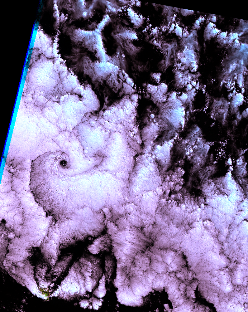
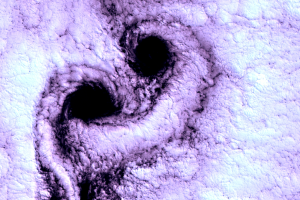
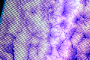
Since its launch in 1999, Landsat 7 has not again seen such nice vortices over Selkirk Island. A single vortex formed on March 25, 2000, from a similar southerly wind, but then the pattern broke up. That morning the clouds were too unstable, as shown by the turbulent convection cells in the northeast.
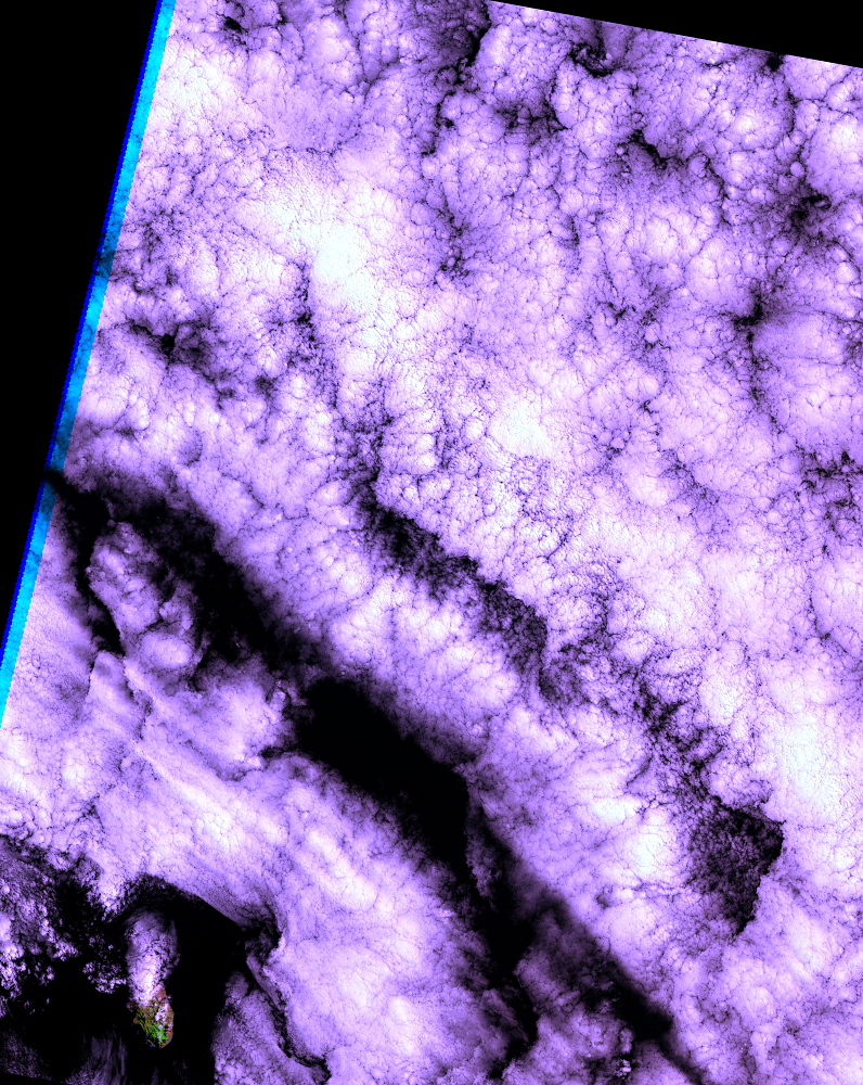
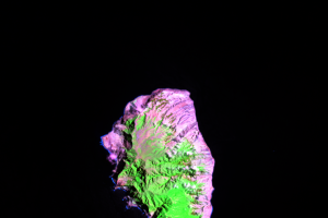
In its first year of acquiring images, the whole island was never visible to Landsat 7. Even on a clear day like November 18, 1999, the island's heat and elevation heave up damp marine air into the cold, until it reaches its dew point and condenses into a kind of permanent parasol of clouds. This sometimes trails downwind a short distance on windy days, as on February 22, 2000.
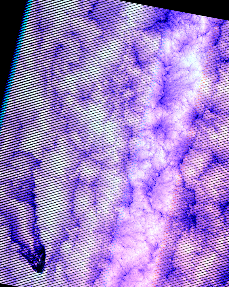
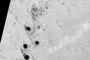
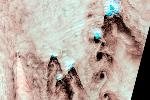
On November 10, 2008, the island looked a bit more like an icebreaker ship plowing through ice pack; no vortex street this time, but the effect the tall mountain island has on the clouds is clearly demonstrated. The February 14, 2009, image almost displays a vortex, but it didn’t quite form completely.
Imagery
Downloads
Related Content
Selkirk Island, Chile
In September 1999, engineers at EROS were reviewing Landsat 7 sensor o...
More Selkirk Cloudscapes
Since its launch in 1999, Landsat 7 has not again seen such nice vorti...
Rare Clear Views
April 19, 2009, could have been a rare clear view of the island, but s...
A Note on the Images
The Landsat images that are shown on Earthshots are combinations of th...

Reflectivity of Water
Have you noticed that in these images, clouds look white but the ocean...
Other Vortices
Selkirk Island is not the only place where Landsat has seen vortex str...