

Near Lake Mead
Earth Resources Observation and Science (EROS) Center - Earthshots
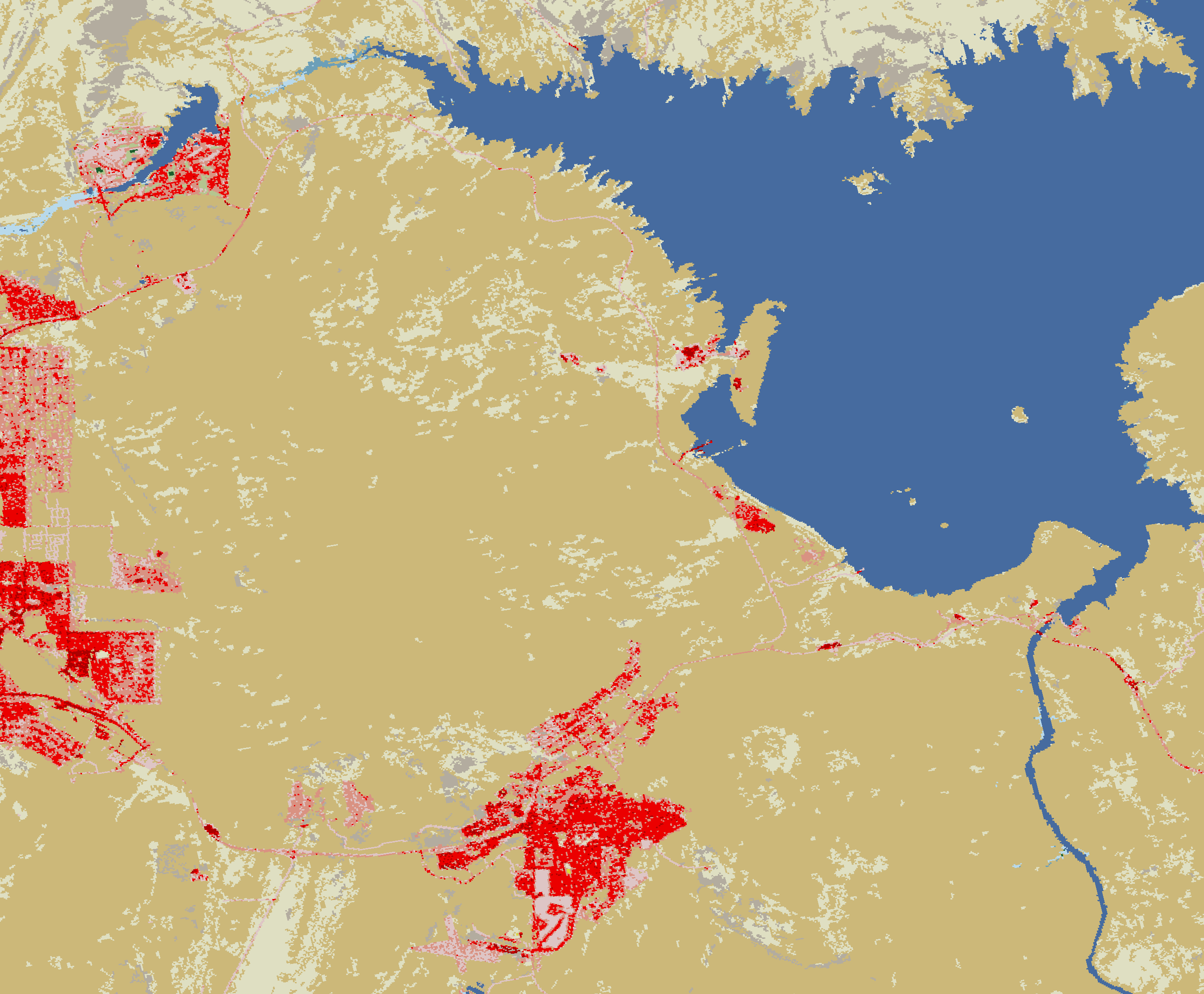
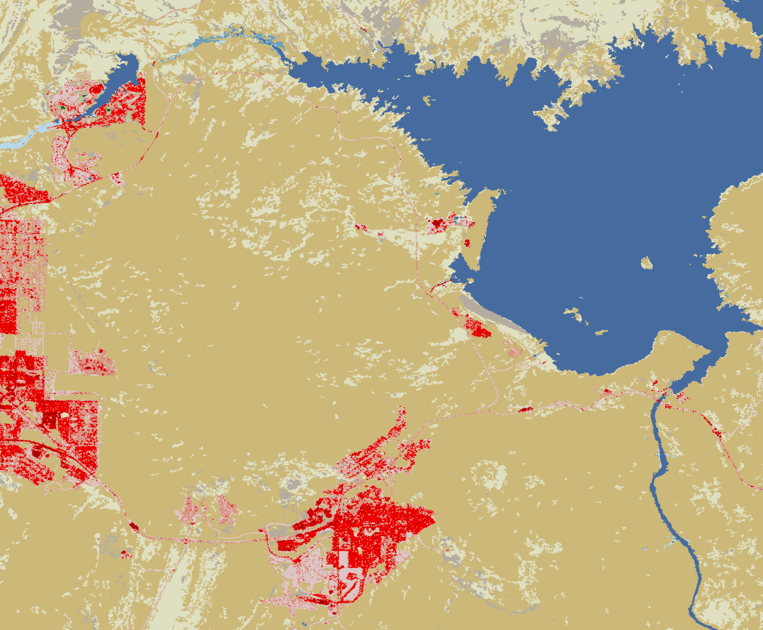
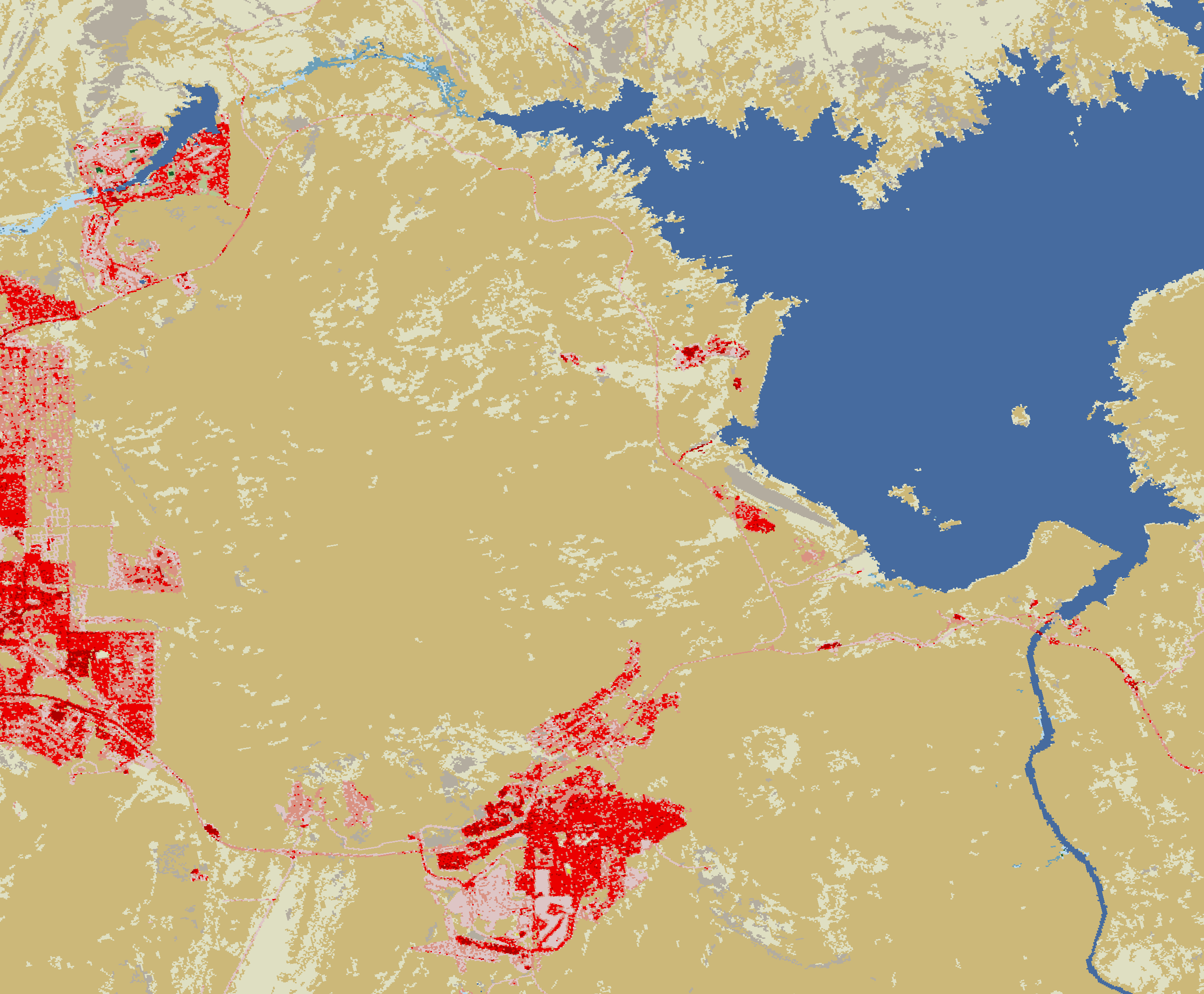
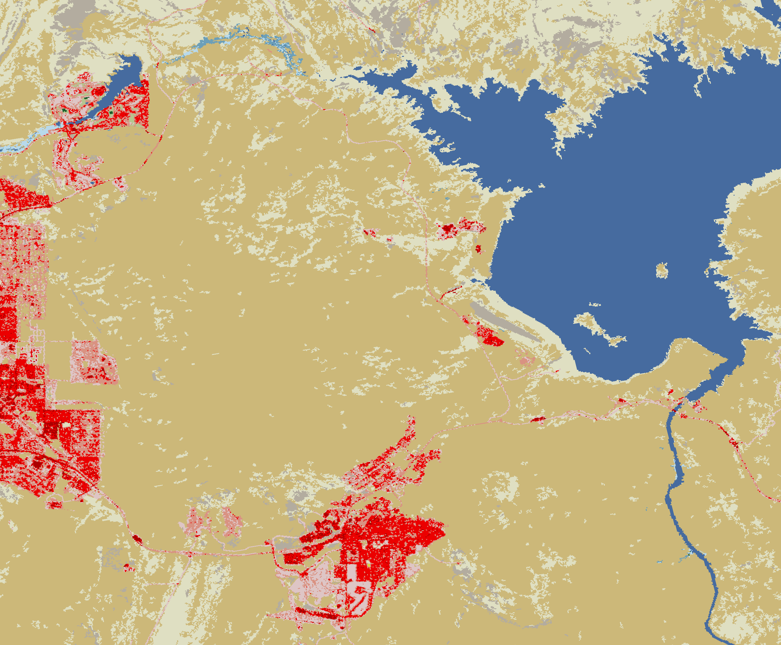
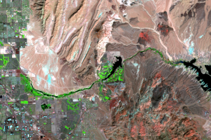
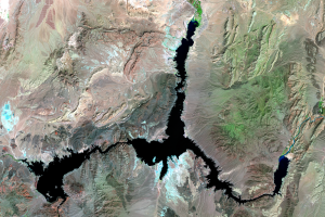
These close-up NLCD images show the water level changes to western Lake Mead. The water classification (blue) changes to barren ground (gray) as the lake shrinks from 2001 to 2011.
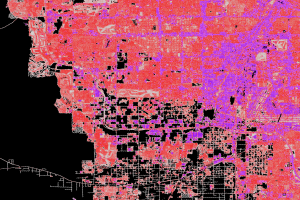
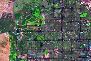
Golf courses show up as developed land. Even though they have vegetation (as indicated in the Landsat images as bright green), here they show up as developed, open space. This faded pink color is also used to indicate lawn grasses in large-lot single-family housing units, parks, and other vegetation planted for aesthetics.
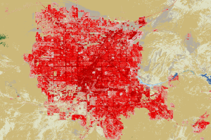
The dark red is urban areas, and in the lower center of image is Boulder City, NV. The faded pink is conspicuous as golf courses, but another pink and red line traces toward the left—a highway that leads from Boulder City to part of Henderson. Around Lake Las Vegas are more golf courses and development in the upper left. The River Mountains occupy the blank tan space to the left of Lake Mead.
Imagery
Downloads
Related Content
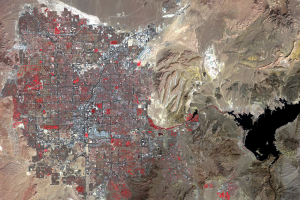
Las Vegas, Nevada, USA
Las Vegas, Nevada, is one of the fastest growing metropolitan areas in...
Change Animation
If you could speed up time and watch a fast-growing city like Las Vega...
Impervious Surface
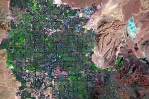
NLCD images of western Las Vegas show that much more urban expansion t...
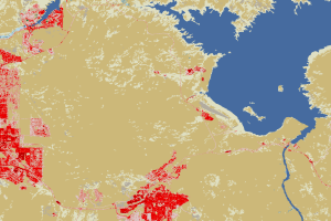
Lake Las Vegas
Between 1986 and 1992, a lake appeared east of the city, along La...
Lake Mead
How is Las Vegas getting enough water for its expanding population? Mo...
Land Cover Maps
The images displayed in this section show a different way of looking a...
Near Lake Mead
These close-up NLCD images show the water level changes to western Lak...
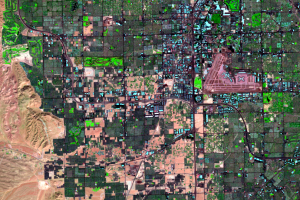
Southwestern Las Vegas
Zooming in on the southwestern portion of the city reveals further urb...
Western Urban Expansion
In these false-color images, bright green indicates vegetation. As the...