

New Orleans
Earth Resources Observation and Science (EROS) Center - Earthshots
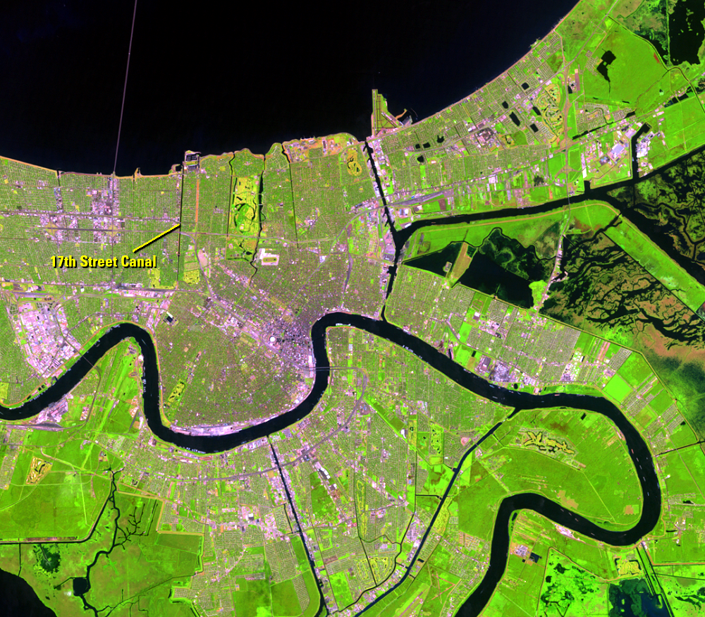
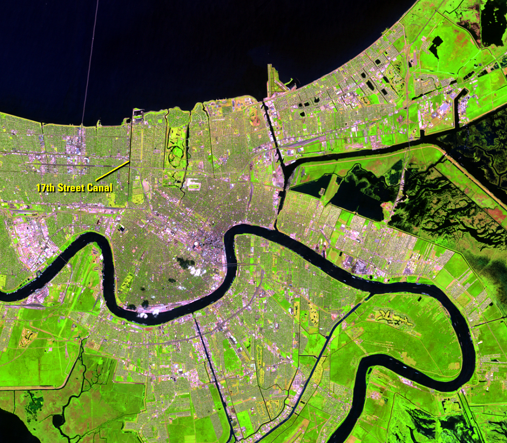
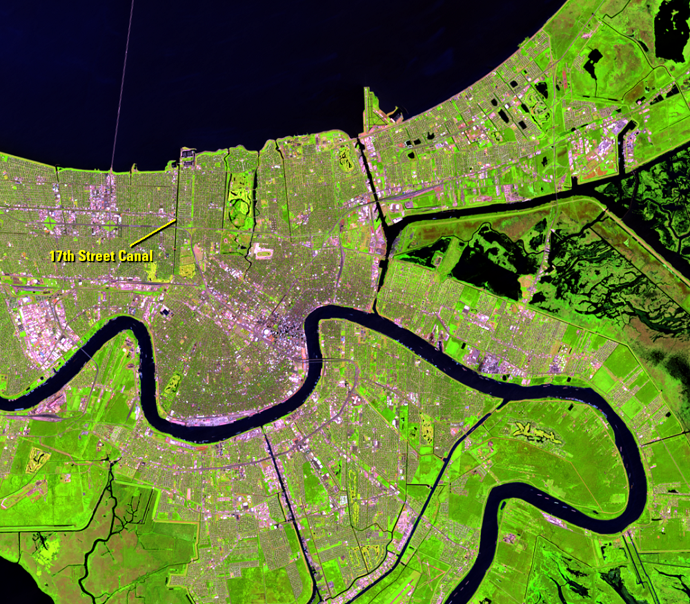
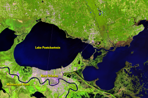
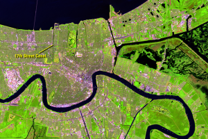
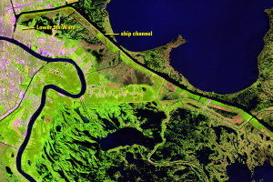
Lake Pontchartrain covers the northern part of these Landsat images. The curvy dark line is the Mississippi River as it meanders past New Orleans. The dark straight lines are canals, built for flood protection and as an aid to water navigation.
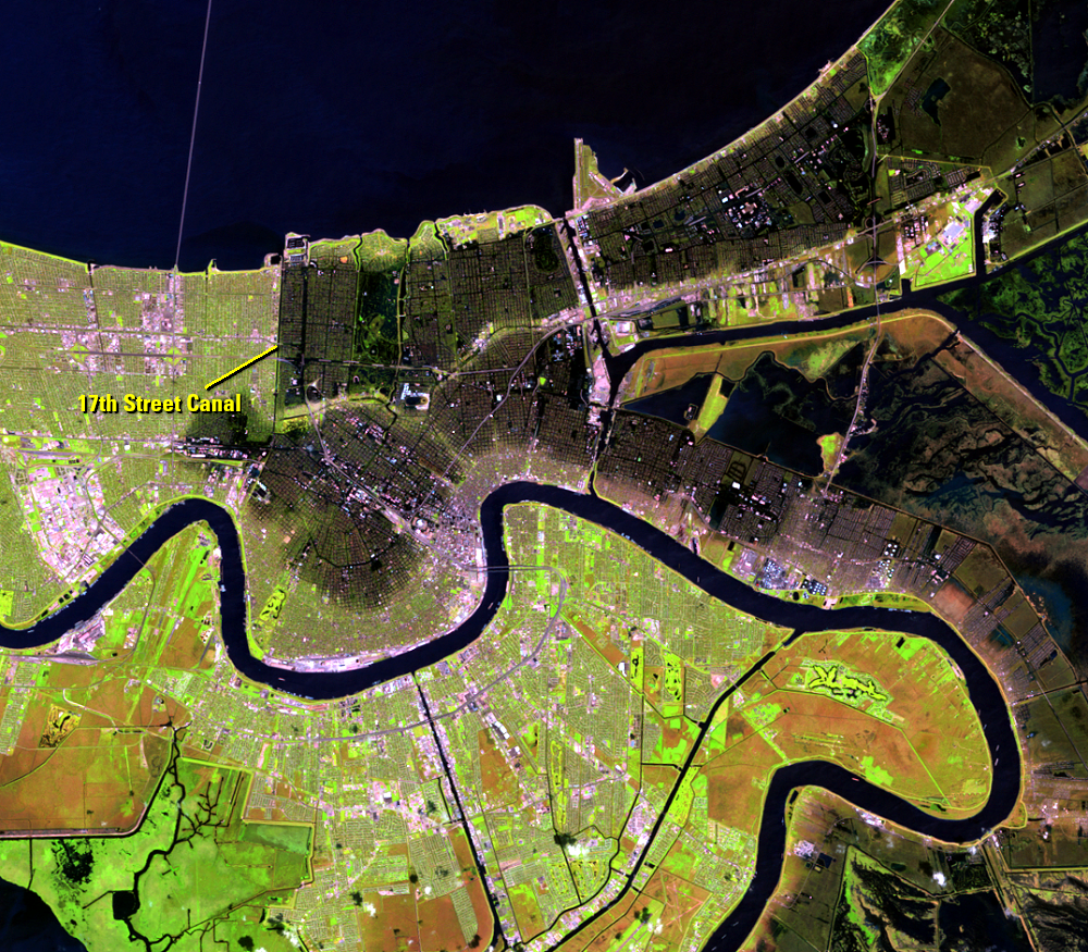
The September 7 image shows New Orleans days after Hurricane Katrina struck. The flooded areas are dark, giving the city a bruised appearance. A straight vertical line separates a dark flooded area of the city from the light green-pink unflooded area. The floodwaters appeared to have stopped at the 17th Street Canal. This canal failed but the west dike held, keeping that part of the city from flooding.
Floodwater from the Gulf of Mexico made its way to Lake Pontchartrain, which then flooded this part of the city with an 11-foot storm surge. Water entered the canals but the canal walls did not overtop. The walls failed when water had only risen part of the way up the wall. When these canals broke, water from Lake Pontchartrain poured into these neighborhoods.
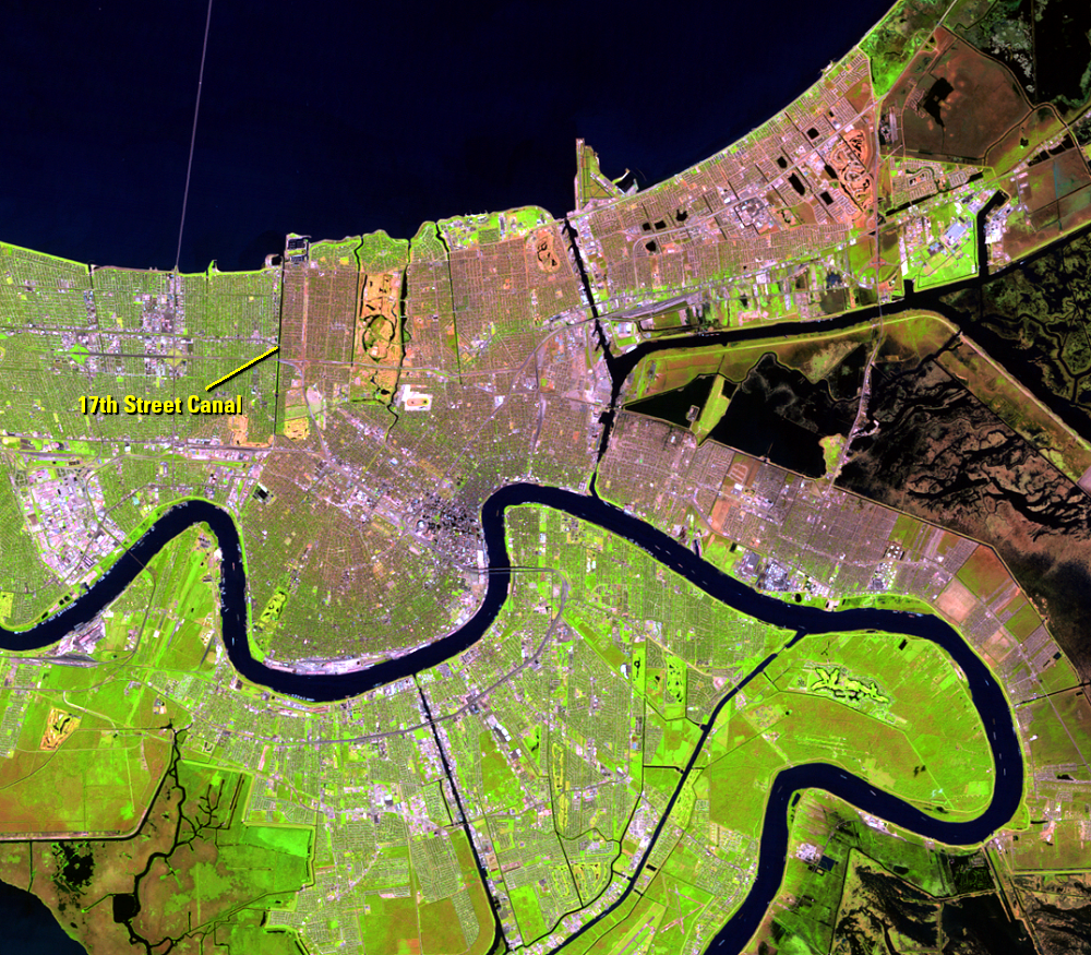
By September 7, the city had started to drain. Pumps worked to return the water to Lake Pontchartrain. About 380 cubic meters (100,000 gallons) of water were pumped out of the city every second.
Green vegetation has returned by the 2006 image, one year after the storm. Comparing the image from before Katrina and the most recent image, the amount of vegetation appears similar.
Imagery

Downloads
Related Content
Hurricane Katrina, New Orleans, Louisiana, USA
Hurricane Katrina was one of the most intense and costliest hurricanes...
New Orleans
Lake Pontchartrain covers the northern part of these Landsat images. T...
St. Bernard Parish
The Mississippi River Gulf Outlet (MRGO) was built in the 1950s and 19...