

Agriculture
Earth Resources Observation and Science (EROS) Center - Earthshots
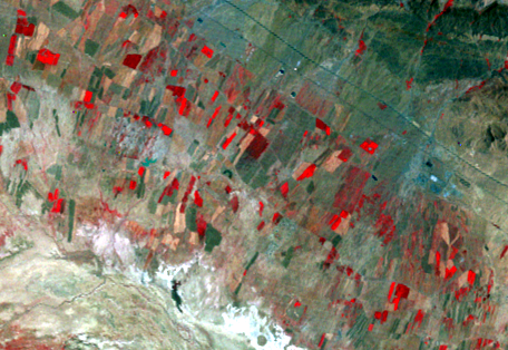
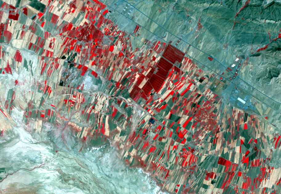
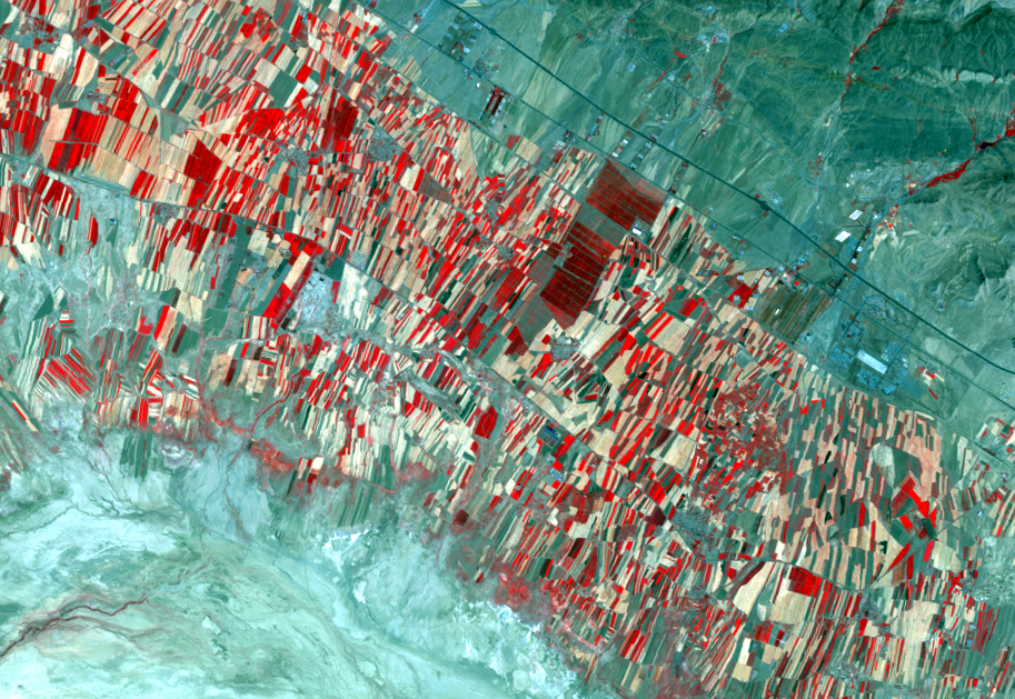
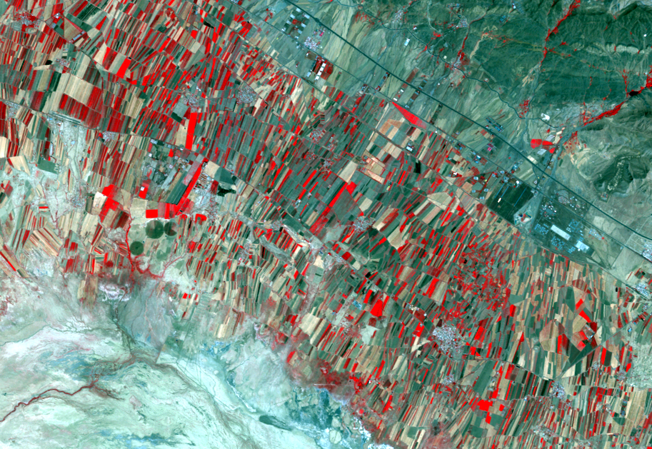
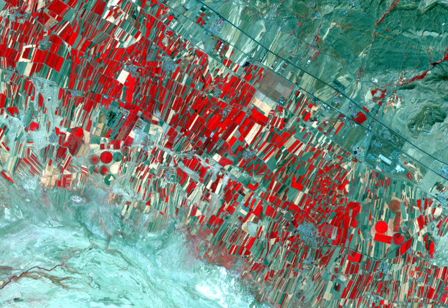
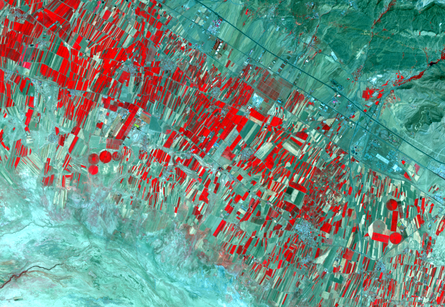
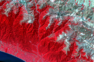
Irrigated agriculture in the valley, shown by the red field patterns, has increased. This agriculture depends on rainfall captured in the mountains and channeled to the valley floor, as well as nearby rivers and drilled wells.
Imagery
Downloads
Related Content
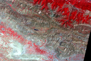
Elburz Mountains, Iran
These images show the vicinity of the Elburz Mountains in northern Ira...
Agriculture
Irrigated agriculture in the valley, shown by the red field patterns, ...
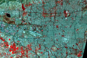
Tehran
In the lower right of the main images is Tehran, the capital and large...
Can You Tell the Ridges from the Valleys?
Look at the zoomed in images by the coast. Can you tell the peaks (tha...