

Ariquemes
Earth Resources Observation and Science (EROS) Center - Earthshots
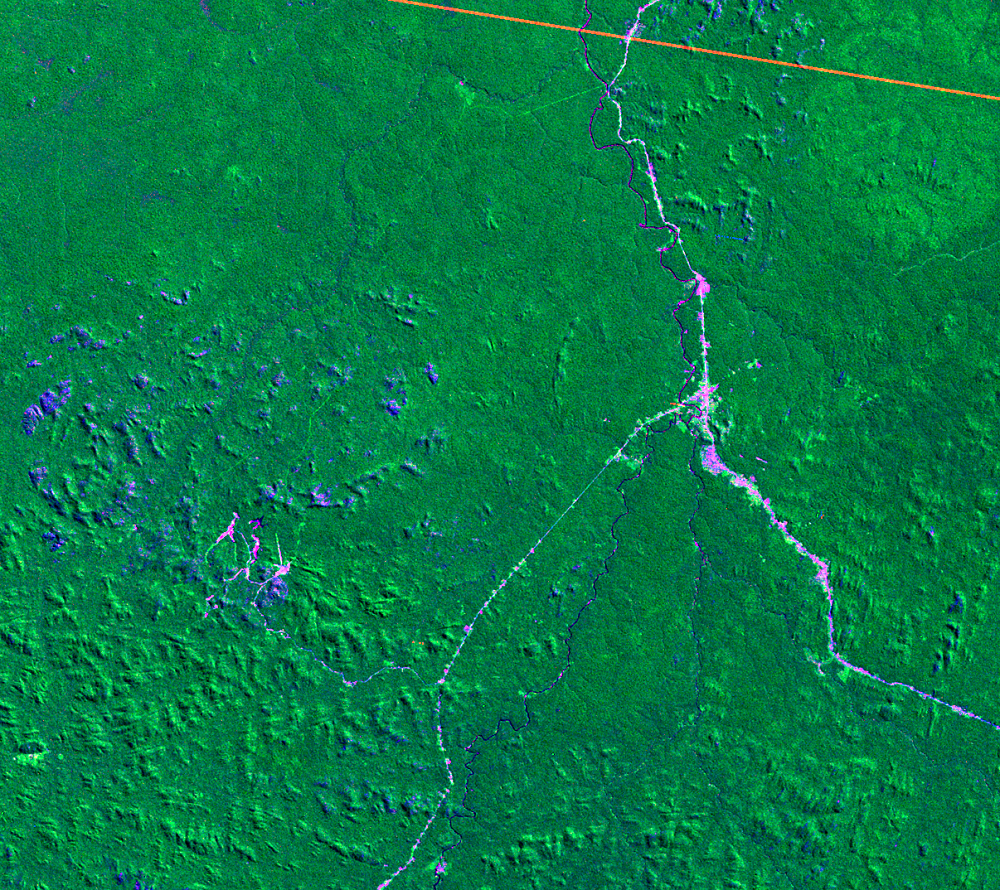
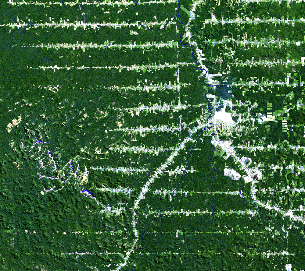
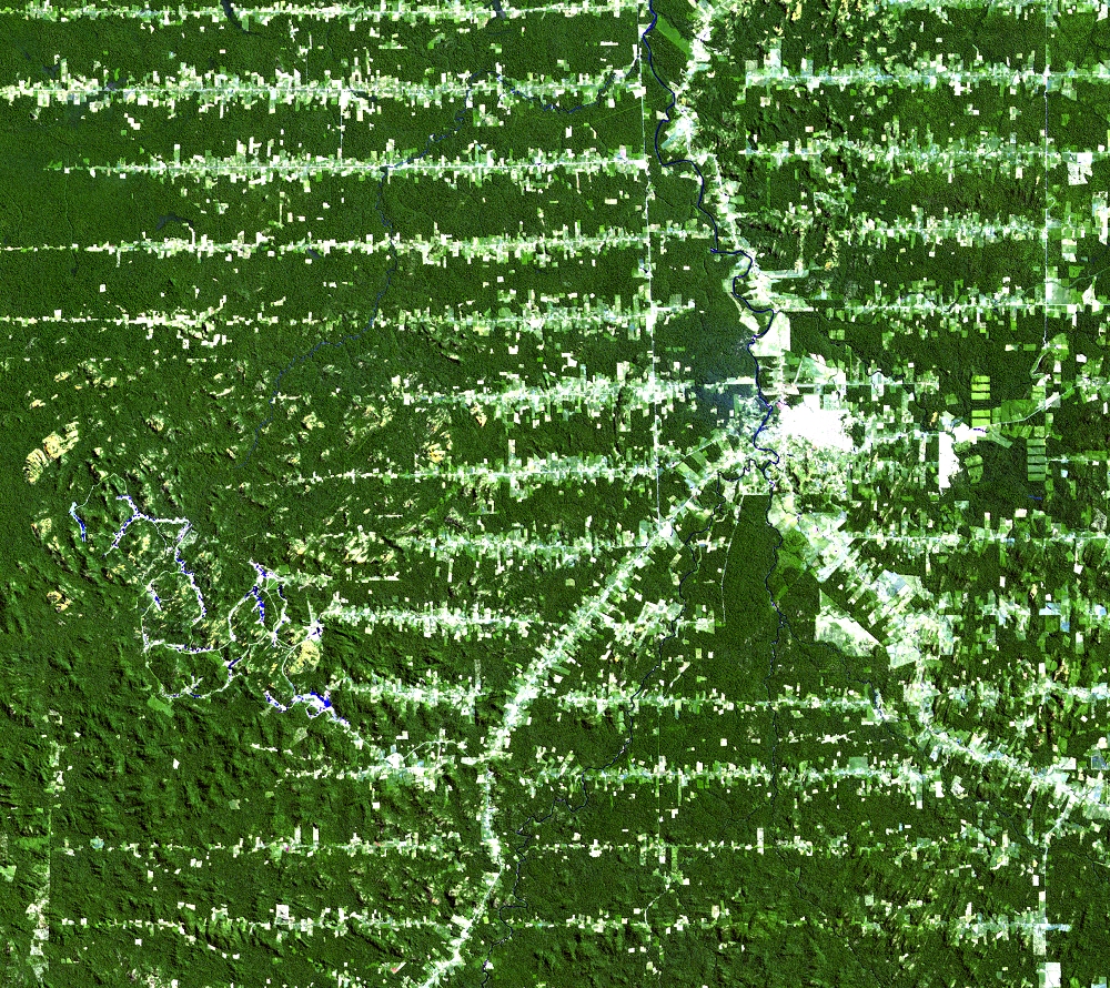
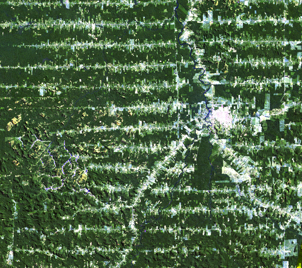
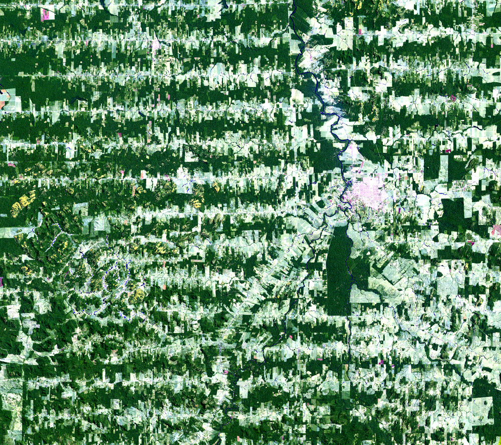
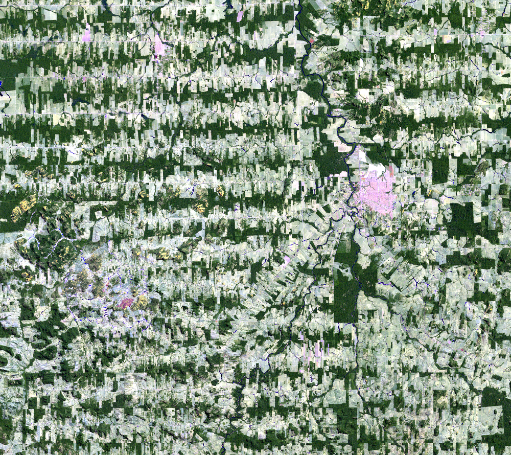
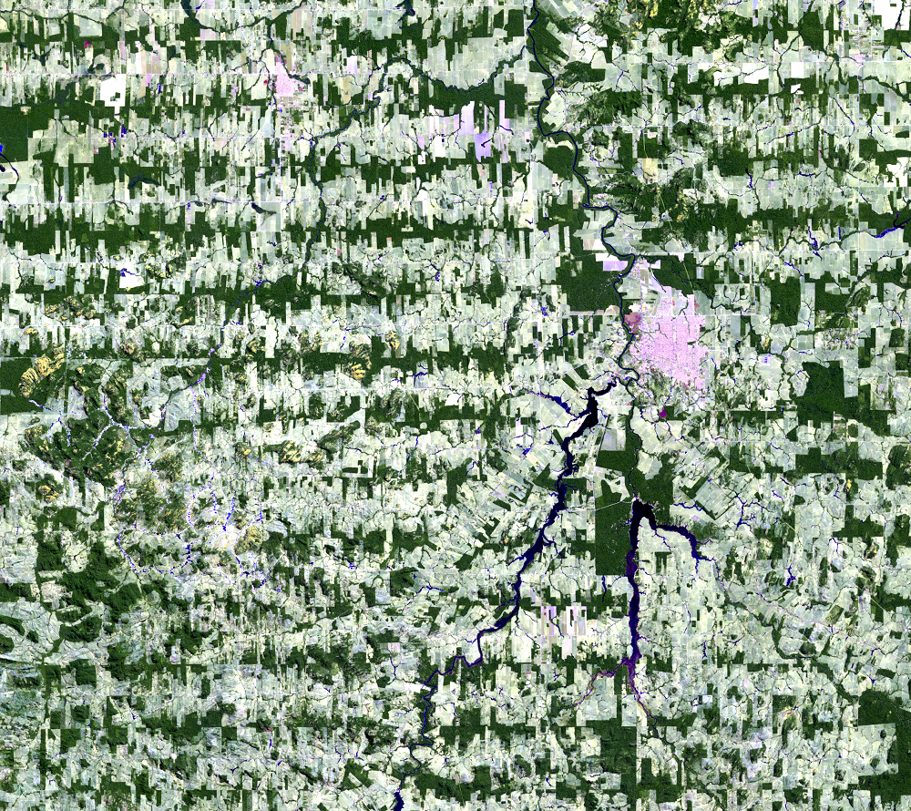
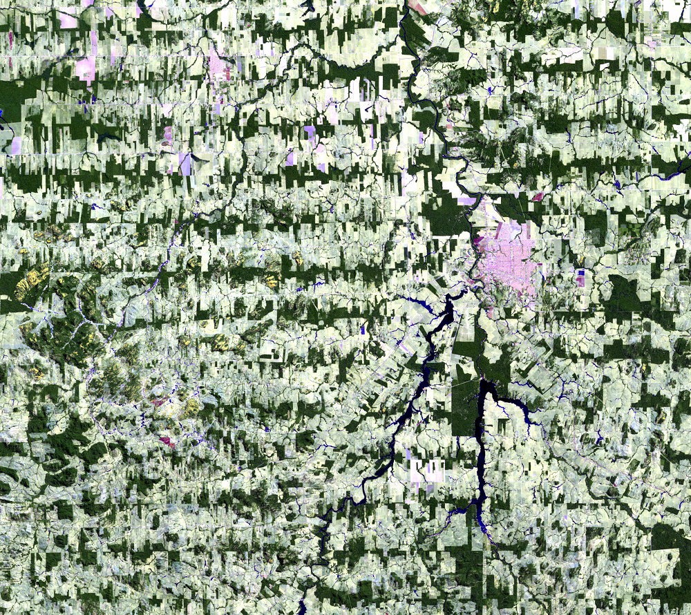
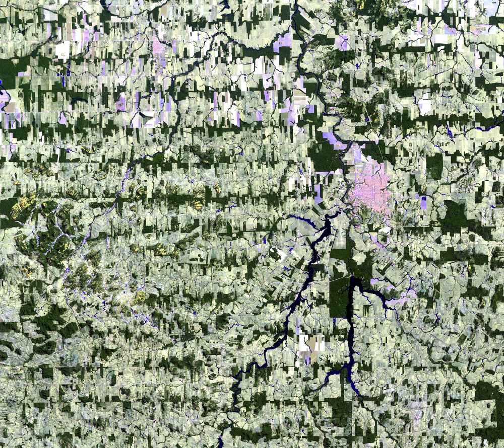
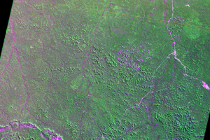
The early images show main roads cutting through the forest. Highway 421 snakes through the forest south-southwest from the city of Ariquemes, and Highway 364 runs roughly north to south through Ariquemes. More roads branch out from the main ones to create the fishbone pattern. As time goes on, a patchwork of cleared areas, forest remnants, and settlements is left behind.
Imagery
Downloads
Related Content
Rondônia, Brazil
The conversion of tropical rain forests to pasture and cropland is hav...
Ariquemes
The early images show main roads cutting through the forest. Highway 4...
Deforestation Causes
The primary cause of this deforestation is conversion to cropland and ...
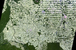
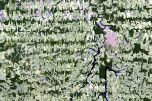
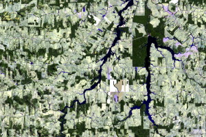
Animation
Play this animation to see the change in this area happen fr...