Main Content
Description

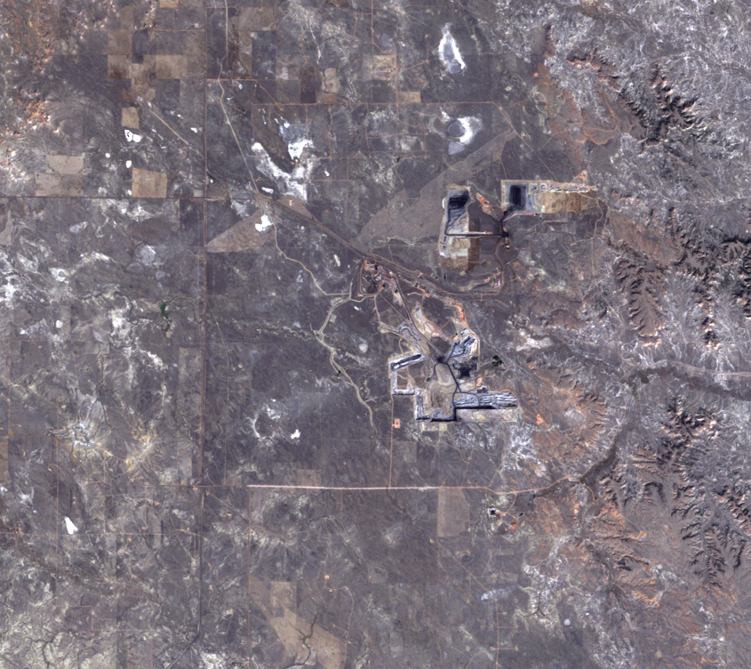
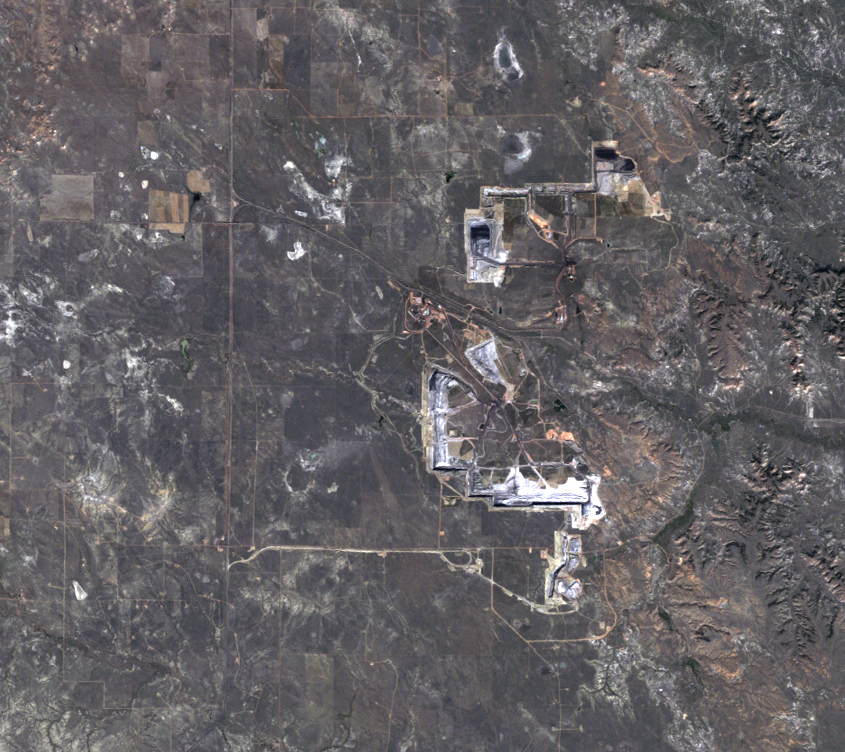
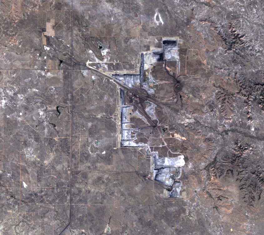
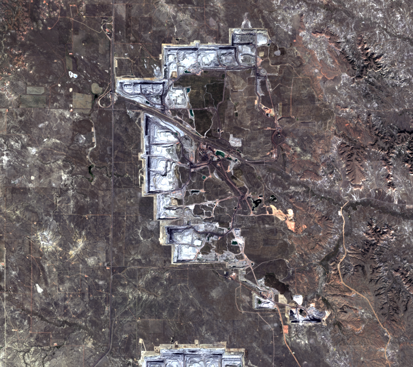
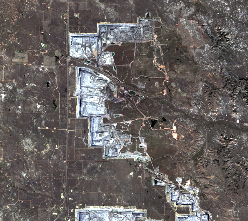
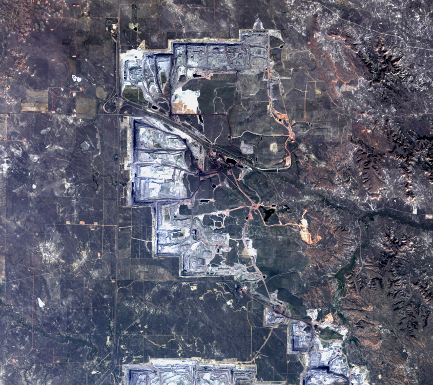
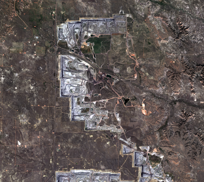
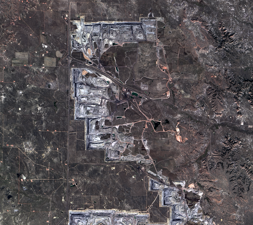
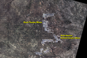
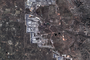
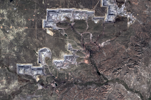
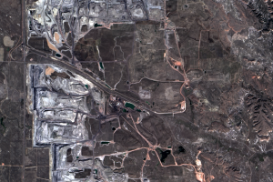
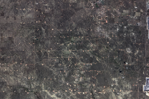
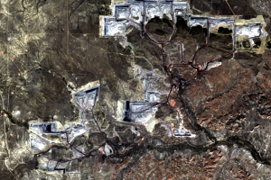
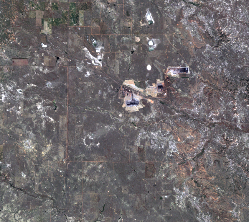
The Black Thunder Mine, shown in the series of Landsat images on the left, has sent 2.2 billion tons of coal to U.S. power plants since 1977. It produces 4 tons of coal per second.

The images show the expansion of the open-pit mining operations at Black Thunder. The black lines are the coal seams, the layers of coal that formed over time and lie under the land surface. Lighter straight lines are stepped benches that allow trucks to drive in and out of the mine.

 

Coal Formation in the PRB

Imagery

Every picture has a story to tell
June 29, 1984, Landsat 5 (path/row 34/30) — Black Thunder Mine, Wyoming, USA
Sept. 23, 1992, Landsat 5 (path/row 34/30) — Black Thunder Mine, Wyoming, USA
Sept. 24, 1998, Landsat 5 (path/row 34/30) — Black Thunder Mine, Wyoming, USA
Sept. 22, 2003, Landsat 5 (path/row 34/30) — Black Thunder Mine, Wyoming, USA
Sept. 19, 2008, Landsat 5 (path/row 34/30) — Black Thunder Mine, Wyoming, USA
Sept. 20, 2014, Landsat 8 (path/row 34/30) — Black Thunder Mine, Wyoming, USA
Sept. 18, 2019, Landsat 8 (path/row 34/30) — Black Thunder Mine, Wyoming, USA
Sept. 7, 2021, Landsat 8 (path/row 34/30) — Black Thunder Mine, Wyoming, USA
Sept. 18, 2022, Landsat 9 (path/row 34/30) — Black Thunder Mine, Wyoming, USA

Correlated

Additional story information

Other Stories

Related imagery and additional content