

Cattle Corridors
Earth Resources Observation and Science (EROS) Center - Earthshots
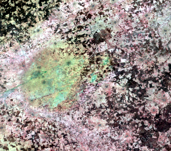
Some of the dark lines in the images might look like roads. Those lines are a transportation network of sorts, just not transportation for people. They are cattle corridors that connect grazing lands (dark patches) and sometimes connect to villages. They are lined with hedges to keep the cattle out of the crops.
One line that goes all the way across these images is indeed a road. It passes through the city of Bankass. But the other lines are cattle corridors.
Imagery

Downloads
Related Content
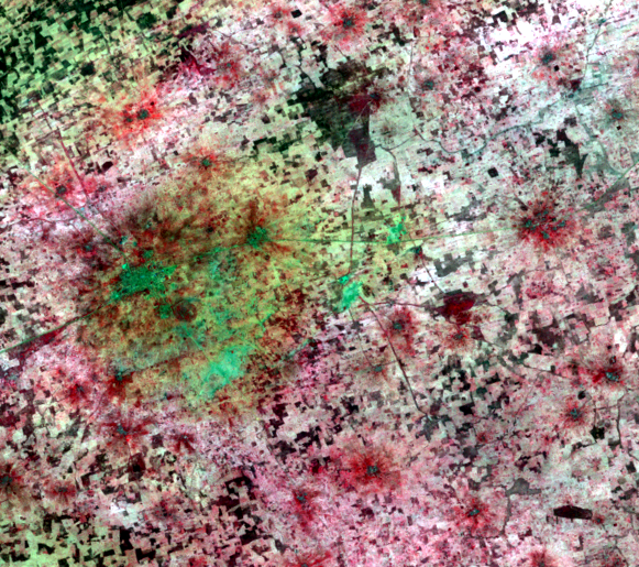
Seno Plain, Mali
On the Seno Plain of Mali, the population has more than doubled since ...
Cropland
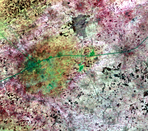
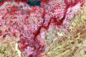
These close-up images from Landsat show the Seno Plain in a bit more d...
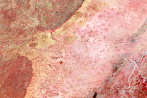
WorldView-2 Detail
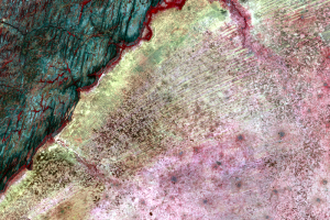
On the edge of the Seno Plain, up against the Bandiagara escarpment, a...
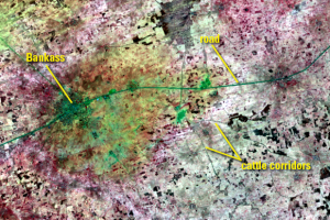
Cattle Corridors
Some of the dark lines in the images might look like roads. Those line...
Corona and WV-2
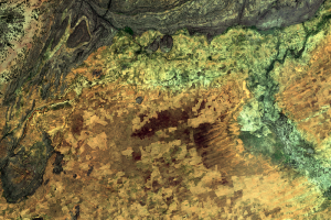
To get an even more detailed view of this region, we can actually go b...