

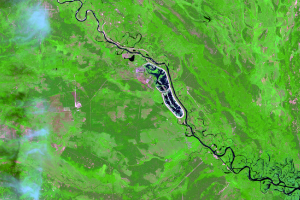
Cooling Pond
Earth Resources Observation and Science (EROS) Center - Earthshots
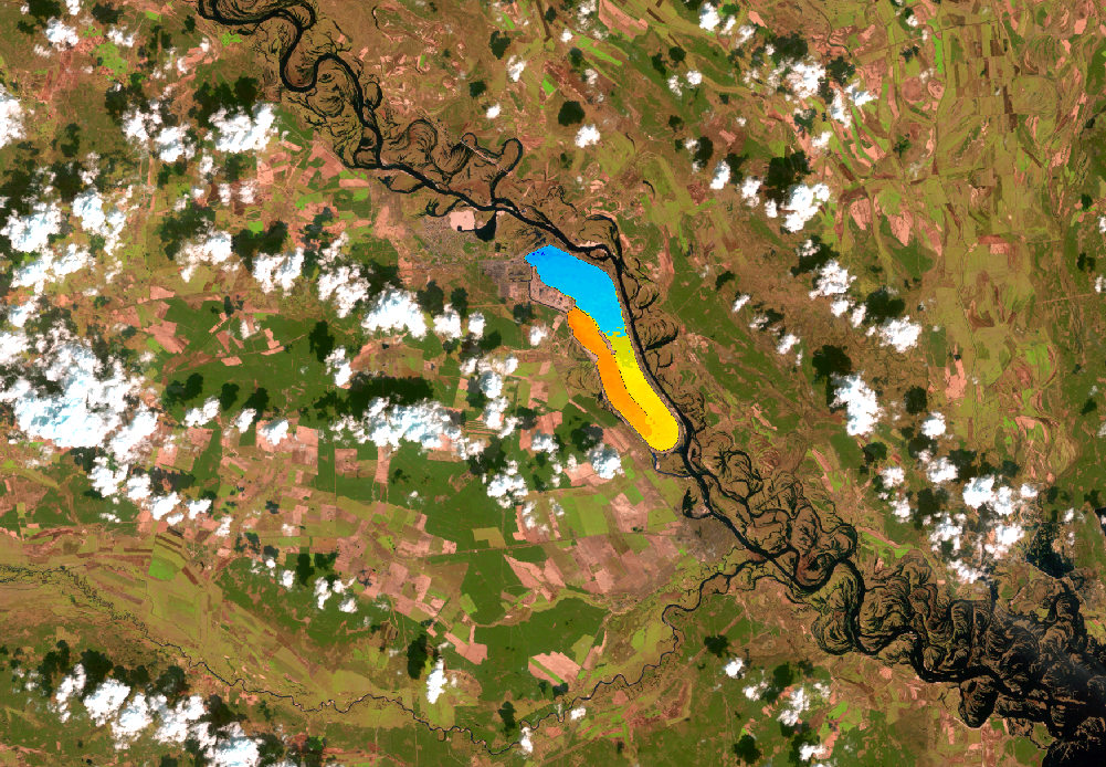
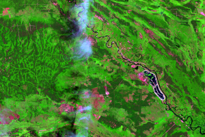
The Landsat 5 image acquired before April 26 shows heated water being pumped from the plant into the adjacent cooling pond and circulating counterclockwise. Landsat 5’s thermal infrared band shows that heated water as orange, then gradually turning yellow then blue as it cools. But the image from April 29 indicates all the water in the pond is the same temperature, evidence the plant was not operating. As the first civilian satellite to image the disaster, Landsat 5 helped confirm the disaster had happened, and this was part of the evidence.
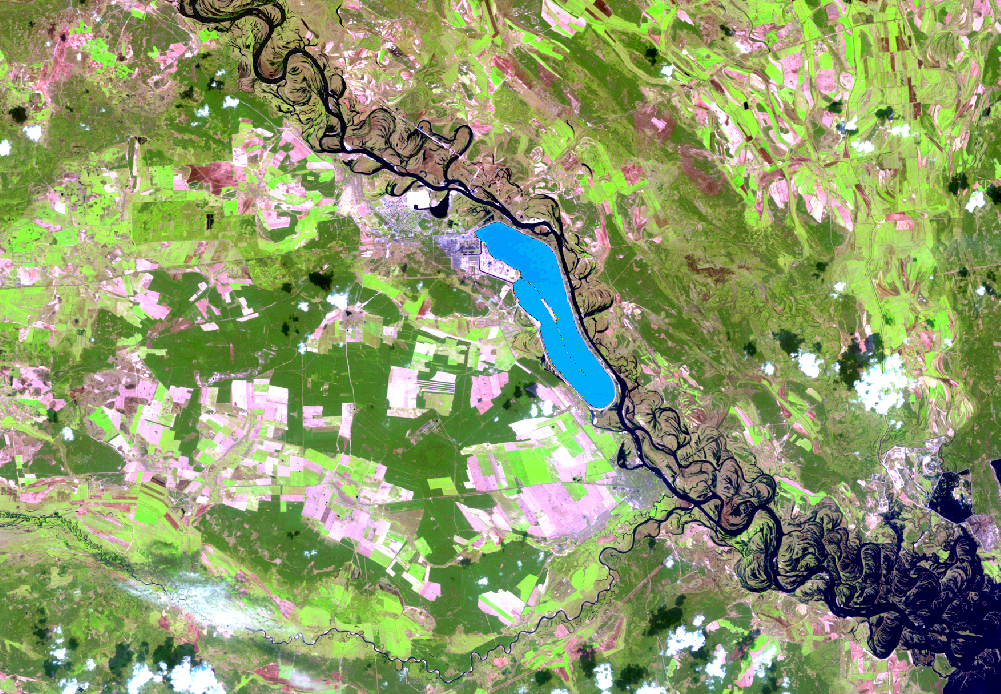
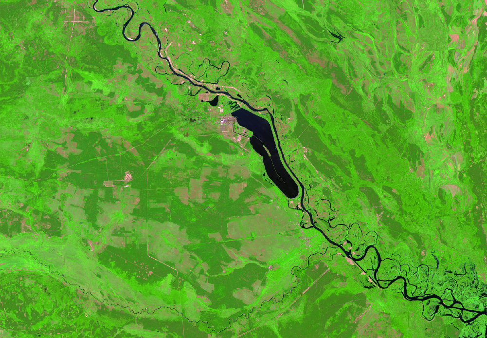
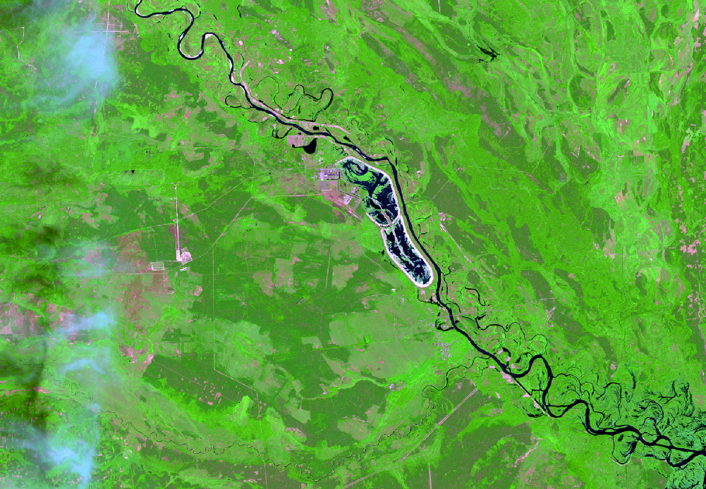
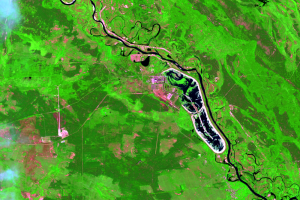
In just the past few years, the cooling pond by the former power plant began drying up. Satellite images clearly reveal a rapid decrease in water level.
Soon after the accident in 1986, radioactive material entered the pond from atmospheric fallout. The contamination went into the pond’s sediment and was shielded by the water. In 2014, the Ukraine stopped pumping water into the pond from the Pripyat River in order to save money. The consequence of this action could be to expose radioactive sediment to the air where it can be dispersed by the wind.
Imagery
Downloads
Related Content
Chernobyl, Ukraine
A nuclear accident devastated the region near Chernobyl, Ukraine, on A...
Abandonment
Near the common borders of Ukraine, Belarus, and Russia, the Chernobyl...
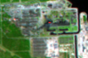
Reactor Number 4
A closer look at the site of the power plant in the 1986 image shows a...

Wildlife
The exclusion zone is not officially a wildlife preserve, but with vir...
Cooling Pond
The Landsat 5 image acquired before April 26 shows heated water being ...

New Safe Confinement
A temporary structure was quickly built over reactor number 4 to conta...