

Kalapana
Earth Resources Observation and Science (EROS) Center - Earthshots
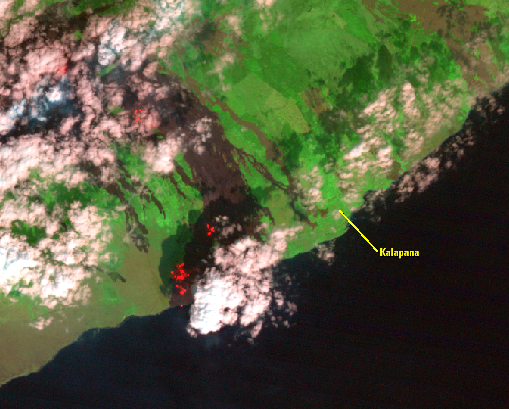
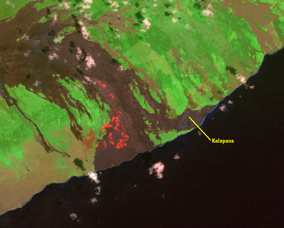
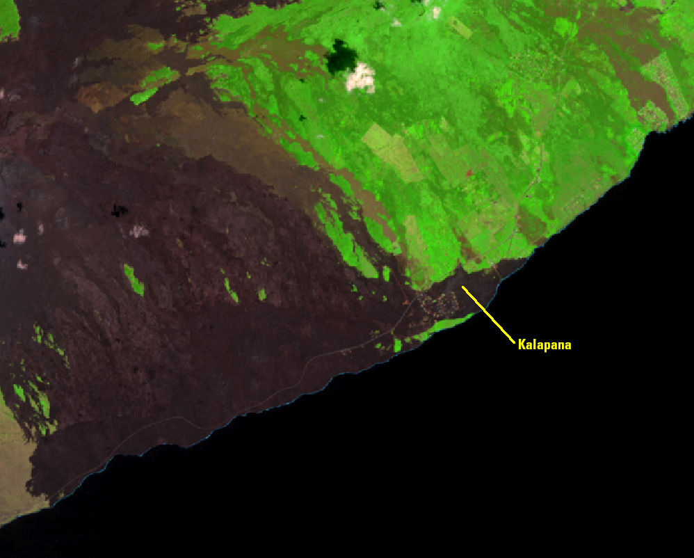
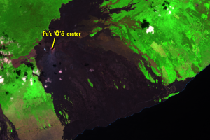
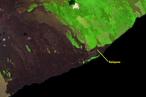
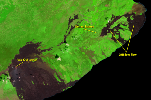
The Pu‘u ‘Ō‘ō eruption took a destructive turn in March 1990. Breakouts from a lava tube spread lava into the Kalapana community. Images show the entire community, known for its historic sites and black sand beaches, being completely covered with lava. Bright spots in the 1989 and 1991 images are active lava flows.
A church, store, and more than 100 homes were buried under 15–25 m of lava. The devastating event finally ended in late 1990 when a new lava tube diverted lava away from Kalapana and back into Hawai‘i Volcanoes National Park.
Imagery
Downloads
Related Content
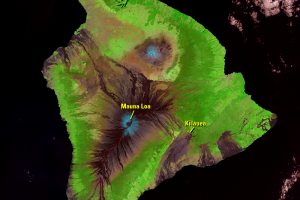
Kīlauea, Hawaii, USA
In 2018, Hawaii was in the news as fresh lava covered 13.7 square mile...
Pu‘u ‘Ō‘ō
The 2018 eruption was part of an ongoing eruption sequence that starte...
Kalapana
The Pu‘u ‘Ō‘ō eruption took a destructive turn in March 1990. Breakout...
Pāhoa
On June 27, 2014, new fissures erupted just east of Pu‘u ‘Ō‘ō crater a...
2018 Eruption
On April 30, 2018, rapid changes in the East Rift Zone were detected. ...
End of the Pu‘u ‘Ō‘ō Eruption
Meanwhile, at the summit of Kīlauea, the Halema‘uma‘u crater and surro...