

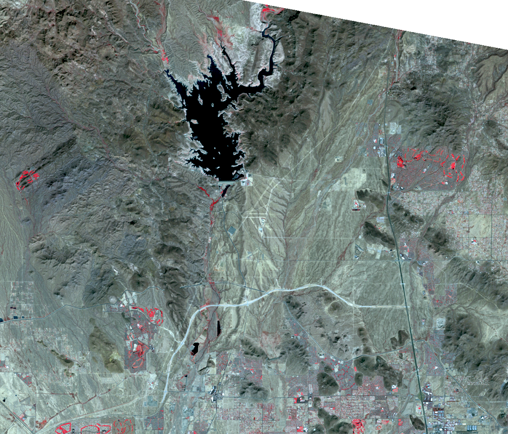
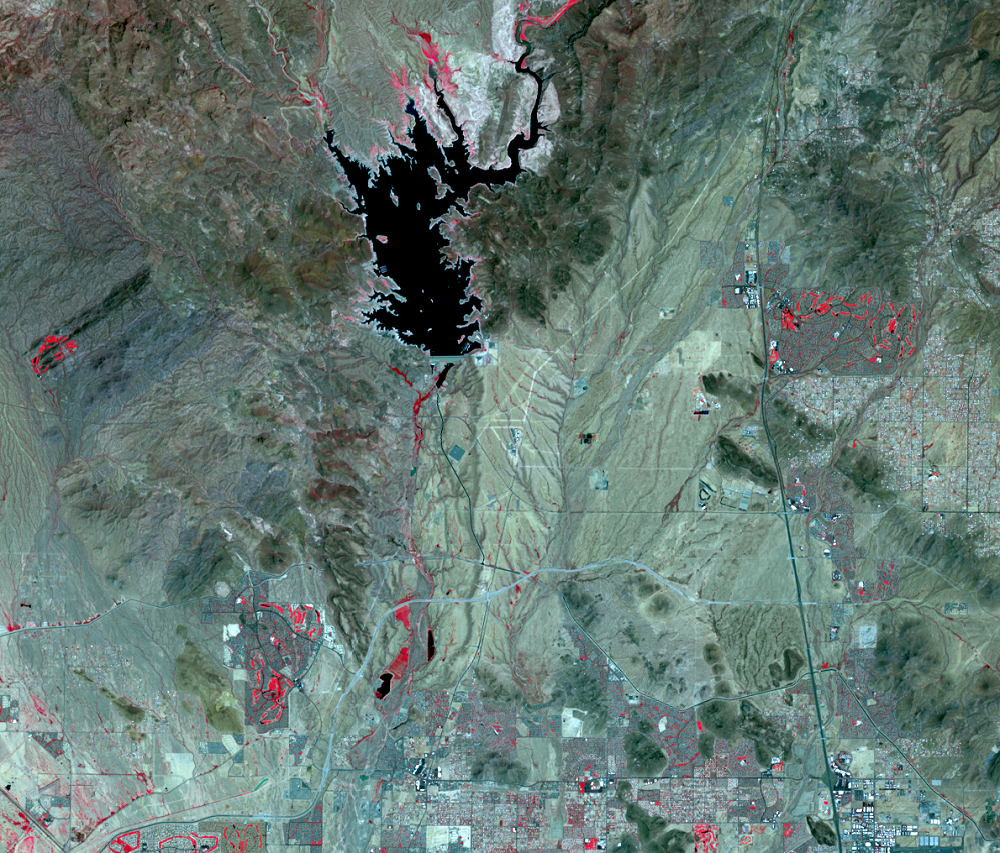
Lake Pleasant
Earth Resources Observation and Science (EROS) Center - Earthshots
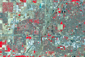
As Phoenix grows, the need for water rises. The Salt, Verde, and Gila Rivers bring water from Arizona’s mountains, but it’s not enough for millions of people. Groundwater is pumped to the surface, but this withdrawal lowers the water table, so it’s not the best answer.
Phoenix looked elsewhere to supplement its water supply and established the Central Arizona Project (CAP). Completed in the early 1990s, this system of canals, pumps, and tunnels brings Colorado River water along 336 miles of canals to Phoenix and Tucson.
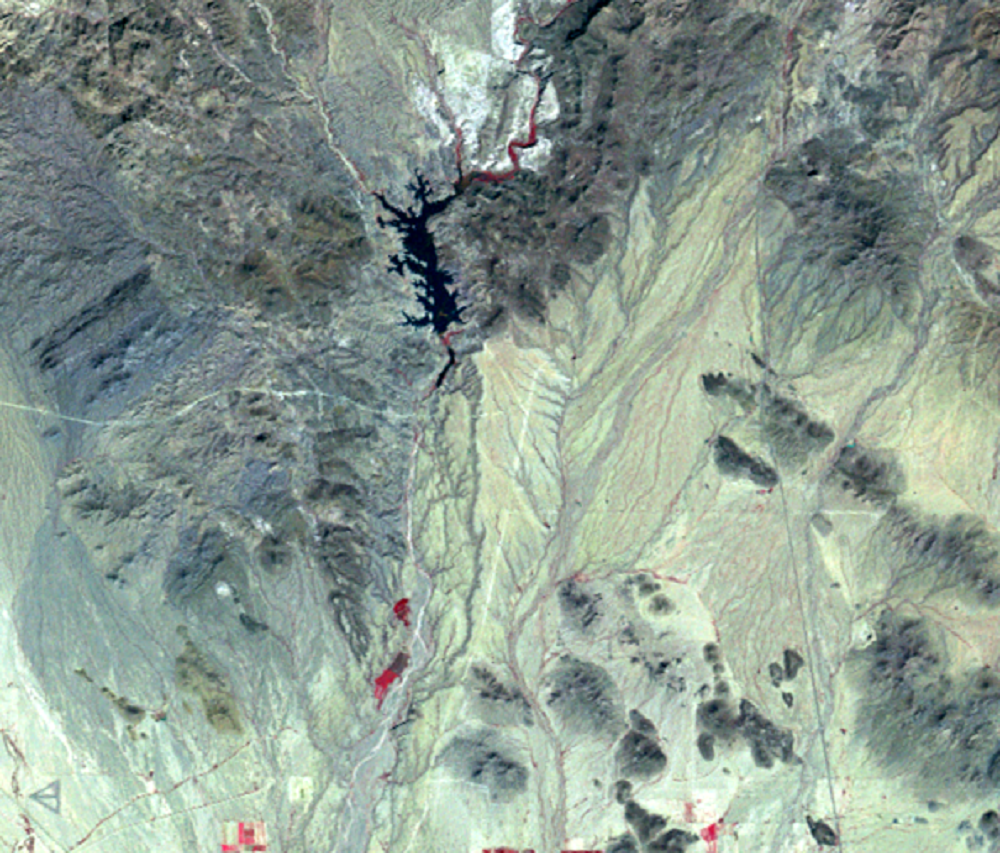
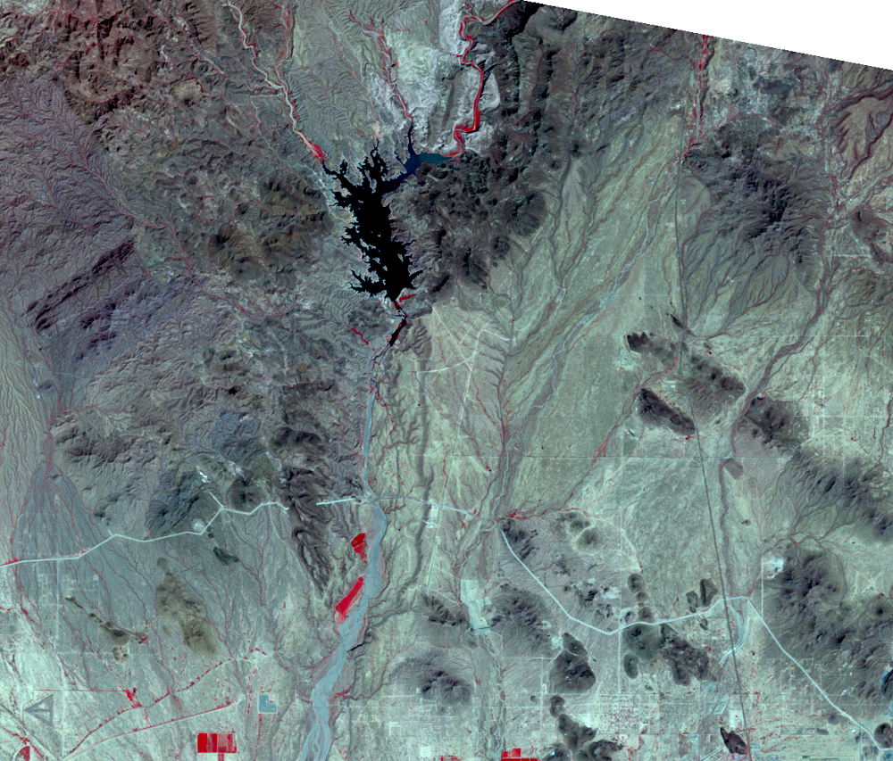
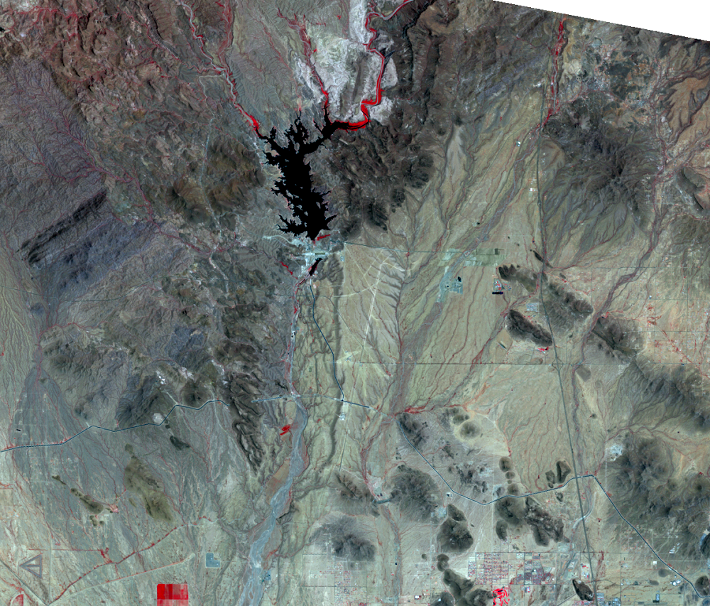
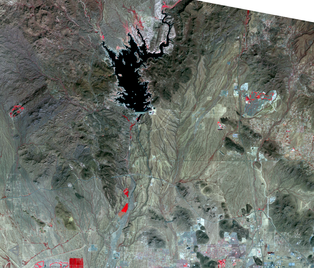
Part of the CAP is an expansion of the Waddell Dam that forms Lake Pleasant on the Agua Fria River. The New Waddell Dam was completed in 1994, and it increased the size of Lake Pleasant, which is evident in these images. Construction of the new dam can be seen in the 1991 image.
Lake Pleasant water is only partly from the Agua Fria River. The lake also receives water from the Colorado River, over 100 miles away. A canal, which can be seen in the 1991 image, pumps water uphill from the canal to the lake in winter. During summer, when electricity and water demand is high, water is released through a hydroelectric power plant.
One drawback to this impressive engineering feat is that Arizona must share Colorado River water with Los Angeles and San Diego, California; Las Vegas, Nevada; and the irrigated fields of the Imperial Valley. Recent drought in the western United States has meant less water to go around for these large cities.
Meanwhile, urban growth continues to expand north of Phoenix closer to Lake Pleasant. In the 2011 and 2023 images, this growth is evident, including construction of a new freeway (the bright curvy line). Can you find where the new golf courses were built?
Imagery

Downloads
Related Content
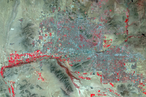
Phoenix, Arizona, USA
Phoenix, Arizona, and its suburbs are growing rapidly, both in populat...
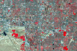
Southeastern Suburbs
The southeastern suburb of Chandler is the residential area near the c...
Western Suburbs
Images of the western side of the Phoenix metro area show the city gro...
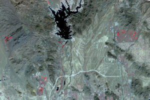
Lake Pleasant
As Phoenix grows, the need for water rises. The Salt, Verde, and Gila ...